K20 Learn
Beyond the Zombie Wars: Understanding Culture
The zombies have invaded! Only a few safe regions remain, and class members must decide where they and the remaining world refugees should flee. After researching the cultures and creating poster presentations of various parts of the...
Curated OER
Geography, Energy, and the Twenty-First Century
Students examine the past and present effects of energy sources on geography in the 21st century. They compare/contrast energy consumption and production in the U.S. and the world, make predictions for future energy consumption, and...
Curated OER
Latitude on World Maps
Sixth graders examine the purposes of maps. In this Geography lesson, 6th graders practice using latitude and longitude on a map.
Curated OER
Trekking to Timbuktu: The Geography of Mali - Student Version
Eleventh graders locate Mali on a world map, describe the landscape and climate of Mali, and locate the city of Timbuktu and describe the local weather. They compare life along the Niger in ancient times to that of today
Curated OER
Social Studies: Regions of the United States
Third graders create Powerpoint presentations of various geographic regions of the United States. They focus on the Northeast, Southeast, and Midwest regions. Students combine their individual slides into a class presentation.
Curated OER
The European Union
Young scholars complete an in-depth exploration of the European Union using the five themes of geography as a guide. In small groups, students use traditional and technological resources to answer questions about the European Union, with...
Curated OER
My Summer Vacation
Students study the United States geography using Google Earth. In this U.S. geography lesson, students create travel journals about five U.S. geographical locations. Students research the human and physical characteristics for each region.
Curated OER
The Sands of Arabia
Sixth graders apply geographic information to the study of World History. In this Geography instructional activity, 6th graders create a political/physical map of the Middle East, develop questions and answers about the culture of the...
Curated OER
Introduction to the World Globe
Students examine a globe and the world map to see what constitutes the differences. For this world map introductory lesson, students discuss what they see when they view the globe. Students then, look at a world map and compare the...
Curated OER
Trading Information
Middle schoolers create a trading card about a state bordering the Mississippi River. Using traditional and internet research, students generate a list of interesting facts about their chosen state using the five themes of geography. ...
Curated OER
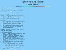
5 Themes Awareness of Current Event Issues
Students identify the 5 themes of geography as being location, place, human-environmental interaction, movement and region. They explain a current event from the perspective of each theme and their interrelationship..
Curated OER
Region Reality
Eighth graders compare and contrast world regions and explore the theme of world regions. In this world geography lesson, 8th graders name regions in the U.S. and mark them on a map. Students discuss the cultural and physical...
Curated OER
European Agriculture
Students make inferences on how physical geography affected the development of early civilizations and come up with solutions to global issues. For this physical geography lesson plan, students compare maps of the past to maps of today...
Curated OER
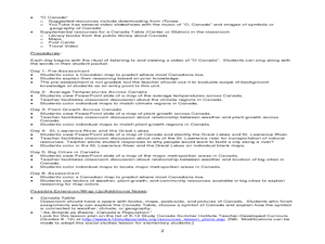
Where Do Canadians Live?
Students investigate Canadian people by researching the geography of the country. In this world geography lesson, students identify locations within Canada with large populations based on their access to waterways. Students view and...
Curated OER
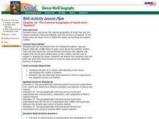
The Cultural Geography of South Asia
Students gain an in-depth understanding of the issues surrounding the conflict in Kashmir. They use what they have learned to write an essay about the disputed territory of Kashmir.
Curated OER
Outlandish Landforms
Seventh graders examine landforms. In this world Geography lesson, 7th graders research and create a physical model of a chosen landform. They then draw a 2-d paper map of that model.
Curated OER
Las Vegas: We Are Just Like You
Students practice making multimedia documentary films by investigating cities of America. In this U.S. geography lesson plan, students examine Las Vegas and compare the state of Nevada to 15 other states and discuss their main...
Curated OER
America Will Be
Students work together to research and create different types of maps of the United States to be used as part of a geography trivia game.Groups research North American annual rainfall, climate, mountain ranges major rivers and state...
Curated OER
The Cultural Geography of Australia, Oceania, and Antarctica
Students use information from the Australian Department of Immigration and Multicultural Affairs Web site to explore multiculturalism and immigration in Australia. They create graphs and charts from immigration data.
Curated OER
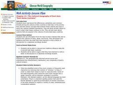
The Cultural Geography of East Asia
Students use information from the Asia Society's AskAsia Web site to explore the cultures of China, Japan, and Korea. They answer four questions and then use what they have learned to write a letter of introduction to a Japanese exchange...
Curated OER
Canada
Students examine a variety of issues that affect the geography of Canada. In small groups they read a magazine article about a specific issue related to Canadian geography, answer discussion questions, and present a summary of their...
Curated OER
State Capitals Quiz- Social Studies Geography Lesson Plan Grades 3-6
Young scholars take an online multiple choice quiz on the state capitals. There are fifty multiple choice questions. After the quiz is over, students can print out the results.
Curated OER
Simulation: River Cruise: Rivers of the World
Students identify major rivers in the world. In this geography lesson, students form teams and play a whole class board game in which clues are read and rivers are identified.
Curated OER
Geography and Its Impact on Colonial Life
Pupils interpret historical evidence presented in primary and secondary resources. In this colonial America lesson, students conduct research to determine how geographic conditions dictated settlement patterns.
Other popular searches
- World Geography Studies
- Geography Studies the Sea
- Geography Studies Rocks
- Elementary Geography Studies
- Geography Studies Cd Rom
- Social Studies Geography
- Social Studies Us Geography
- Social Studies and Geography
- Social Studies Maps Geography


