Curated OER
In Harm's Way: Natural Disasters in My Community
Eleventh graders research and debate natural disasters that have occurred in their community. They assess whether these natural disasters were avoidable or were accidents. They investigate the extent of insurance coverage for disasters.
Curated OER
Let's Go To Mexico
Learners are able to use the Internet to conduct research. They research Mexican culture and traditions. Students compare and contrast Mexican and U.S. food and clothing. They convert United States currency to Mexican pesos. Learners...
Curated OER
States of Fitness
Students participate in physical activities coordinating to divisions on a map.
Curated OER
Native Americans and Topography at Rose Bay
Students visit a wetland ecosystem. While they are there, students explore how to read topography maps of Rose Bay.
Curated OER
Japan and The Ring of Fire
Middle schoolers engage in a study of the volcanic forces and earthquakes associated with The Ring of Fire in the Pacific Ocean. The people of Japan are researched in how they have dealt with living in the area. Also students write in...
Curated OER
Creating Community - A Function Of Design
High schoolers discuss the physical and human impacts of community design. They identify traditional neighborhood design elements and evaluate them with features of conventional suburban development.
Curated OER
Weather, Migrations, and Plants
Students research the effects of day-to-day weather on animal migrations, plant growth and other seasonal events. They consult maps, observe and record local conditions, keep journals and use their collected data check hypotheses.
Curated OER
Forest Ecology or Who Lives Here?
Pupils explore a hardwood forest. In this forest ecology lesson, students examine the diversity and animals and plants as they explore their habitats at Poricy Park Conservatory. Pupils determine how biodiversity and abiotic elements...
Curated OER
Coastal Biodiversity of South Africa
Young scholars investigate the biodiversity found along the coast of South Africa. They conduct research using a variety of resources. They use the information in order to write lab reports with the data. The lesson plan can be adapted...
Curated OER
Mapping My Community
Ninth graders are introduced to GPS technology. They complete fieldwork as they visit a specific area of their community to identify and map types of land use in the surveyed area. They use the collected data to create a digital map.
Curated OER
NOAA Research Project
Students research any topic relating to the National Oceanic and Atmospheric Administration (NOAA) research cruise that Mrs. Richards be participating in.
Other
Time Zone Check: Time Zone Map
This interactive world map shows the different time zones and what the times are in major world cities. You can click on your region, then find out the time in another part of the world!
Other
Just Maps: World Maps
An index of maps and flags of countries throughout the world. Also provides political maps, time zones, population, and religious maps of every region of the world.
Geographyiq
Geography Iq
Detailed geographical information on any country is available at this site. Within the World Map section, you can get facts and figures about each country's geography, demographics, government, political system, flags, historical and...
Other
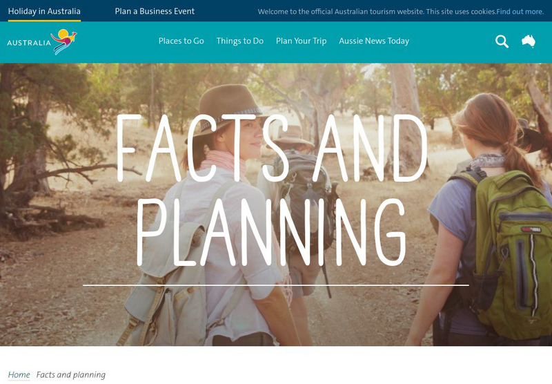
Australian Tourism: Facts and Planning
This is the official website for Australian tourism. It presents facts about Australia's geography, weather and climate, time zones, currency, and plants and animals, accompanied by excellent imagery. A useful feature of this page is...
Biblioteca Virtual Miguel de Cervantes
Biblioteca Virtual Miguel De Cervantes: Paraguay
This resource site in Spanish for the country of Paraguay. The flag and a general map of the country are included. Of particular interest is the statistical data available on land size, climate, population, life expectancy, infant...
Biblioteca Virtual Miguel de Cervantes
Biblioteca Virtual Miguel De Cervantes: El Salvador
This resource site in Spanish for the country of El Salvador. The flag and a general map of the country are included. Of particular interest is the statistical data available on land size, climate, population, life expectancy, infant...
Biblioteca Virtual Miguel de Cervantes
Biblioteca Virtual Miguel De Cervantes: Costa Rica
This resource site in Spanish for the country of Costa Rica. The flag and a general map of the country are included. Of particular interest is the statistical data available on land size, climate, population, life expectancy, infant...
Biblioteca Virtual Miguel de Cervantes
Biblioteca Virtual Miguel De Cervantes: Colombia
This resource is on the country of Colombia. The flag and a general map of the country are included. Of particular interest is the statistical data available on land size, climate, population, life expectancy, infant mortality rate, and...
Biblioteca Virtual Miguel de Cervantes
Biblioteca Virtual Miguel De Cervantes: Espana
This resource site in Spanish for the country of Spain. The flag and a general map of the country are included. Of particular interest is the statistical data available on land size, climate, population, life expectancy, infant mortality...
Biblioteca Virtual Miguel de Cervantes
Biblioteca Virtual Miguel De Cervantes: Peru
This resource site in Spanish from the Biblioteca Virtual Miguel de Cervantes for the country of Peru. The flag and a general map of the country are included. Of particular interest is the statistical data available on land size,...
Biblioteca Virtual Miguel de Cervantes
Biblioteca Virtual Miguel De Cervantes: Uruguay
This resource site from the Biblioteca Virtual Miguel de Cervantes in Spanish for the country of Uruguay. The flag and a general map of the country are included. Of particular interest is the statistical data available on land size,...
Biblioteca Virtual Miguel de Cervantes
Biblioteca Virtual Miguel De Cervantes: Ecuador
This resource site from Biblioteca Virtual Miguel de Cervantes in Spanish for the country of Ecuador. The flag and a general map of the country are included. Of particular interest is the statistical data available on land size, climate,...
Biblioteca Virtual Miguel de Cervantes
Biblioteca Virtual Miguel De Cervantes: Puerto Rico
Bibliotica Virtual Miguel de Cervantes is an excellent resource site in Spanish for Puerto Rico. The flag and a general map of Puerto Rico are included. Of particular interest is the statistical data available on land size, climate,...


