Curated OER
Got Park? Or if you build it, they will come!
High schoolers use GIS and GPS technology to evaluate, research, locate, and recommend where a new park should be located that benefit the community.
Curated OER
WorldWatcher Activity: Using Data to Investigate Issues and Solutions
Young scholars use the WorldWatcher program to identify the issues affecting their country they have been using for these activities. In groups, they identify each issue and identify the solution or develop their own. They present their...
Curated OER
Rivers And Capitals
Students become familiar with the use of GIS for research and become aware of the importance of rivers to cities. They also analyze the placement of cities and learn the names of rivers in the United States.
Curated OER
Gwynns Falls
Learners investigate the question: What is the impact of urban development and expansion on the health of a decidious forest ecosystem and humans? They examine the issue of land development by responding to a specific scenario and...
Curated OER
Pollution Solution
Fourth graders examine how trees help to absorb the pollution that is emitted from automobiles. They review the process of photosynthesis and determine how forest management is important on their reservation. They think about the...
Curated OER
The Arctic and Taiga Ecozone of Canada
Students discover the differences in the Arctic and Taiga regions of Canada. They identify physical and human characteristics of both region. They also practice using an atlas.
Curated OER
The Arctic and Taiga Ecozone of Canada
Students examine the various sub-regions of the Arctic and Taiga zones in Canada. Using the online Canadian Atlas, they locate and describe the characteristics of each zone. They organize their information into a chart and share it with...
Curated OER
Indiana Tornado Project
Students become familiar with the use of GIS for research, natural phenomena in Indiana, and analyzing collected information.
Curated OER
Hmong Among Us
Students examine the Hmong community in Minnesota, then research and write case studies on refugee communities from the top ten countries with approved applications to the U.S. They write first-person stories from the perspective of...
Geographyiq
Geography Iq
Detailed geographical information on any country is available at this site. Within the World Map section, you can get facts and figures about each country's geography, demographics, government, political system, flags, historical and...
Other
Population Reference Bureau: Country Stats & Reports
This site from the Population Reference Bureau could actually be considered a search engine or the beginning page of a data base. It is a thorough source of information on global population including hyperlinks to organizational sources,...
Other
Population
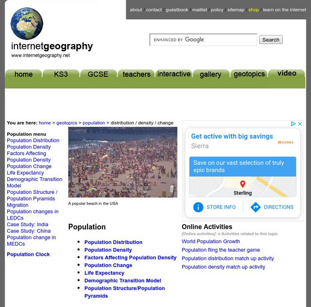
Population directly effects our everyday lives in many ways. Explore the effects of population by learning about population density, population distribution, and population change.
Read Works
Read Works: China Today: China's Population
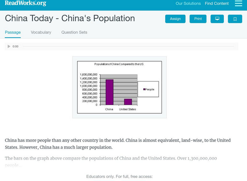
[Free Registration/Login Required] An informational text about the population grown in China. A question sheet is available to help students build skills in reading comprehension.
National Geographic
National Geographic: National Geography Standards Migration
Detailed site that explains the National Geography Standards. It supplies an extensive explanation of voluntary and involuntary migration. This information is helpful for developing a better understanding of migration and human movement.
Central Intelligence Agency
Cia: World Fact Book: Homepage
Sponsored by the CIA, the World Fact Book gives current information about the world's countries and peoples. Includes geography, people, government, economy, communications, transportation, military, and transnational issues sections.
Other
Mapping Worlds: Show World: A New Way to Look at the World
This unique combination of data, demographics and innovative visuals resizes countries on a world map in relation to a menu of insightful data-driven topics, such number of deaths from cancer or amount of steel produced, giving us a new...
Royal Canadian Geographical Society
Canadian Geographic: A Developing World
CIDA, in partnership with Canadian Geographic, have created a resource which allows students to investigate the quality of life in over 200 countries by examining various Human Development Index indicators. Students may search by...
Read Works
Read Works: Seven Billion and Counting
[Free Registration/Login Required] An informational text about the increasing world population. A question sheet is available to help students build skills in reading comprehension.
PBS
Pbs: American Experience: Mass Exodus From the Plains
This site is from PBS.org explaining the migration of people out of the plains during the dust bowl. Use this article to learn all about the reasons people left and where they went.
Other
Migration
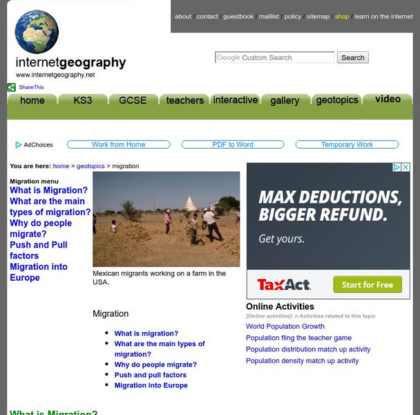
Learn about the movement of people from one place to another with this informative look at migration. Discover the push and pull factors, migration into Europe, and the main types of migration.


