Teach Engineering
Searching for Bigfoot and Others Like Him
Individuals create a GIS data layer in Google Earth that displays information about where one might find seven different cryptids. The class members research to find data on cryptid sightings they can include in their data...
Teach Engineering
Who Can Make the Best Coordinate System?
Working with a map that does not have a coordinate system on it, small, collaborative teams must come up with a coordinate system for their map. Groups then explain their coordinate structure to the class.
Teach Engineering
What's Wrong with the Coordinates at the North Pole?
Here is an activity that merges technology with life skills as individuals use Google Earth to explore the differences between coordinate systems and map projections. The self-guided worksheet is the fourth segment in a nine-part unit....
Big Kid Science
Eclipse Classroom Activities: Cultural Significance Project
What better way to celebrate eclipses than across cultures? Explore myths of solar and lunar eclipses from ancient cultures like the Chinese, Ancient Greek, Mesoamerican, Incan, Egyptian, Ancient Babylonian, and Middle Eastern. Learners...
Curated OER
Degree Confluence Project: At the Intersection of Geography and Technology
Students participate in a Longitude-meets-latitude project comes together on the Web!
Teach Engineering
Where Are the Plastics Near Me? (Field Trip)
With a piece of plastic here and a piece of plastic there, here a piece, there a piece, everywhere a piece. Teams go on a field trip in order to document the locations and kinds of plastic trash in an area near them. The eighth...
American Geosciences Institute
American Geosciences Institute: Earth Science Week: Analyzing Hurricanes Using Web and Desktop Gis
In this activity, students research hurricane data to discover their behavior and patterns. They map them across decades to see whether their frequency is increasing. They study Hurricane Andrew and investigate the relationship between...
TeachEngineering
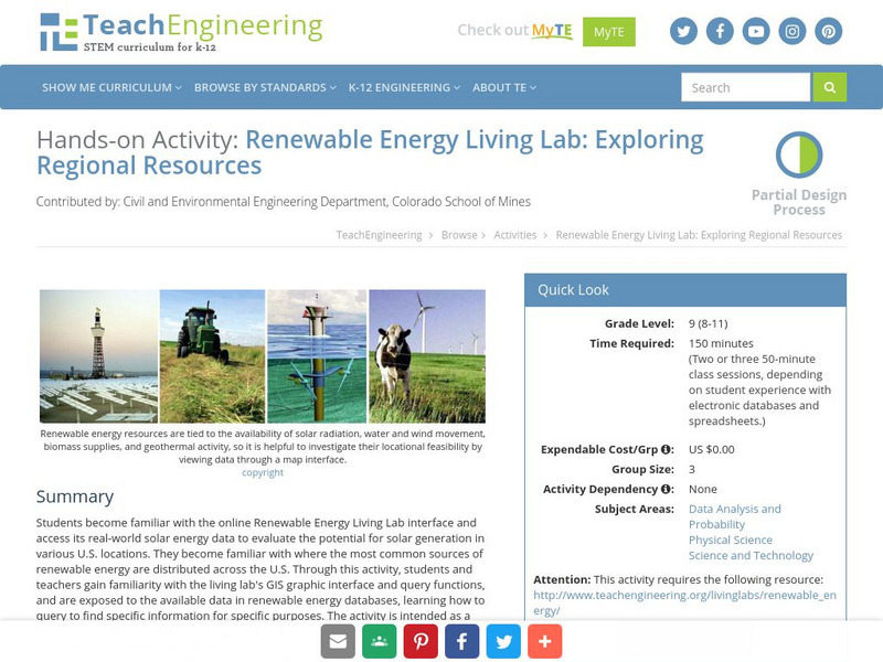
Teach Engineering: Renewable Energy Living Lab
Students become familiar with the online Renewable Energy Living Lab interface and access its real-world solar energy data to evaluate the potential for solar generation in various U.S. locations. They become familiar with where the most...
TeachEngineering
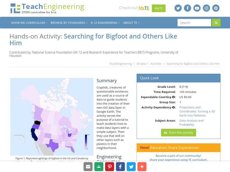
Teach Engineering: Searching for Bigfoot and Others Like Him
Cryptids, creatures of questionable existence, are used as a source of data to guide students into the creation of their own GIS data layer in Google Earth. The activity serves the purpose of a tutorial to teach students how to make data...
TeachEngineering
Teach Engineering: What's Wrong With the Coordinates at the North Pole?
Students complete a self-guided exercise in worksheet format combined with Google Earth that helps them explore practical and observable differences between different projection and coordinate systems. The activity improves their skills...
Science Education Resource Center at Carleton College
Serc: Lab 5: Trouble in Paradise: Factors That Impact Coral Health
Students examine the status of coral reefs around the world using an online geographic information system (GIS). They also investigate some of the major factors that disrupt corals-watersheds, exploitive fishing, coastal development, and...
TeachEngineering
Teach Engineering: Where Are the Plastics Near Me? (Field Trip)
An adult-led field trip allows students to be organized into investigation teams that catalogue the incidence of plastic debris in different environments. These plastics are being investigated according to their type, age, location and...
Ibis Communications
Eyewitness to History: Tokyo Rose
Students investigate ?Tokyo Rose? the name given by American GIs to nearly a dozen women of American descent who broadcasted propaganda for the Japanese during World War II. The resource consists of an audio clip of Tokyo Rose broadcasts...
Other
Swiss World
This site from the Swiss government contains extensive geographical, cultural, historical, economic, social and political information about this mountainous, multilingual country. It contains extensive links to authoritative outside...
Other popular searches
- Gis Data
- Gis Map
- Gis Software
- Gis Environment
- Gis and Gps Technology
- Gis Gps
- Gis and Remote Sensing
- Gis Data Map
- Geography, Gis
- Gis Lesson Plans
- Gps/gis
- Gis Water


