Curated OER
Applications of GIS
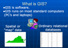
Don't be concerned that the title slide of this presentation mentions Virginia's Geospatial Extension Program; this slide show is very informative for any technology-focused curriculum when considering global information systems. It...
Curated OER
Water Quality and Watersheds: A GIS Investigation
Requiring more than one class period, this resource takes earth science learners on a journey through a watershed. Using ArcGIS Explorer, an online geographic information system, they view maps of watersheds and surrounding landscapes....
Curated OER
Exploring Energy with GIS
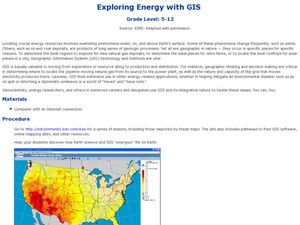
Young scholars examine GIS technology as it is used to locate energy sources. In this GIS lesson, student access an assigned website to locate a series of lessons using the GIS software. They use the maps that are located on the primary...
Curated OER
Geographic Information Systems
Students examine the concept of geographic information systems (GIS) and its basic components. They explore an application program using GIS technology and list the various uses for GIS.
Curated OER
Using GIS to Construct Water Table Maps and Flow Nets
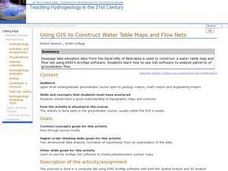
Students examine how to use GIS software to analyze patterns of groundwater flow. Seepage lake elevation data from the Sand Hills of Nebraska is used to construct a water table map and flow net using Esri's Arc Map software.
Curated OER
Mapping Lab and Lead Poisoning
Students are introduced to GIS and its uses. They make predictions before viewing the actual lead poisoning cases by location of Dade County. Pupils use actual Miami-Dade County spatial data to explore basic principals. Students
Curated OER
Geographic Information Systems (GIS) and Water Resources
Students demonstrate how water quality and environmental health issues can be analyzed together, how hydrologic information can be built up, and how decisions can be made using GIS.
Curated OER
Fostering Geospatial Thinking: Space to Earth: Earth to Space (SEES)
Young scholars locate and access data to help them with their science inquiry. For this geographical positioning lesson students evaluate and compare data sets.
Curated OER
Mapping Exercise
In this mapping worksheet, students are given data of children exposed to health risks and their geographical location. Students plot each child's home and the risk factors using an (x, y) grid. They answer 2 questions about the...
Curated OER
Exploring Climate Change with GIS
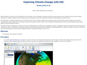
Students investigate climatological changes that are occurring to the Earth. In this climate change lesson, students access an assigned web site to view maps and lessons that show how climate change makes a difference to life on Earth.
Curated OER
Names in the Field: A Simple GPS Field Exercise
Students explore basic methods of GPS data collection, uploading the data to a computer, and making simple maps of their data using GIS software. They create a map of the data using GIS software (or Excel)
Curated OER
World Population
Students examine the world population data using MyWorld GIS software and compare and contrast the population characteristics of countries around the world. Students summarize their findings in a report.
Curated OER
Measuring Distance and Area in Satellite Images (College Level)
Students are able to download, install, and use Image J image analysis software to quantify change over time in satellite images. They access and download satellite images for specific locations and times. Students set a scale (spatial...
Curated OER
Weather Pals
Students study maps of the United States to locate weather pals from a list of schools. They communicate with Weather Pal schools through the use of closed circuit TV. Using weather data collected in their area, they exchange the...
Curated OER
Using Vegetation, Precipitation, and Surface Temperature to Study Climate Zones
Middle schoolers begin their examination of the climate zones found around the world. Using a software program, they identify the relationship between the vegetation, climate and temperatures of the different zones. They also plot...
Curated OER
Science: Discovering Sharks
Students incorporate some basic information regarding ocean life and ecological conservation into their "earth watch" lives.
Curated OER
Characteristics of Snakes and Turtles
Students compare and contrast snakes and turtles, then fill out an information sheet.
Curated OER
What's Driving Us?
Middle schoolers determine what the people in their community are driving. Using traffic flow information, they develop recommendations on how to achieve sustainability. They calculate the carbon dioxide emission index for various sites...
Curated OER
Comparative Stream Quality
Students examine water quality on a nearby stream. They collect water samples and test for various factors, including any contamination from the treatment plant, and present their information in a Powerpoint presentation.
Curated OER
The Great MPA Debate
Students study the 'Marine Protected Areas' process. In this ocean lesson plan students work in groups, conduct research and present it to the class.
Curated OER
Are Butterflies Free?
Students use remote sensing to study monarch butterfly migration and human interaction to save the Oyamel forest (Mexico) for butterfly and human habitation.
Curated OER
Living Swamps, Bayous and Forests
Third graders explore interesting environments by exploring Louisiana. In this wetland lesson, 3rd graders utilize the web to research the State of Louisiana, the bayous in the area, and the Gulf of Mexico. Students write a journal entry...
Curated OER
The Fantastic Kindergarten Zoo
First graders create their own zoo to share with other classes and parents. Groups create displays for the animals. Have each group brainstorm how they create a display for their animal.
Curated OER
Researching Alternative Energy
Sixth graders investigate the concept of energy using a hypothetical story. The power goes out in their house and they no longer can play your videogames. Students must create your own alternative power source. This story sets the stage...


