Curated OER
Cookie Topography
Students construct a cross section diagram showing elevation changes on a "cookie island." Using a chocolate chip cookie for an island, they locate the highest point in centimeters on the cookie and create a scale in feet. After tracing...
Curated OER
Natural Disasters
Students create an expressive painting documenting their experience of a storm. They create a slide show presentation comparing and contrasting the impact and the response to a natural disaster in the 19th century with the impact...
Curated OER
World Continents
Students identify the continents of the world. In groups, students create a three-dimensional clay representation of their assigned continent. Using KidPix software, they draw and color their continent. Students research their continent...
Curated OER
World Geography: Global Interdependence
Students are able to discuss the theory of climate change. They identify examples of how climate change impacts the earth's geo-spheres. Students are able to use the example of climate change to describe the interdependence of the...
Curated OER
Quilt Squared
Students study West Virginia quilts. In this mathematics activity, students use symmetry, geometric shapes, and patterns to create their own quilt square.
Curated OER
Looking At Dams
Students examine the importance of dam projects in the Kansas-Lower Republican River Basin. Students create and experiment with a model of an earthern dam.
Curated OER
Deforestation
Young scholars identify the different tropical rainforests in the world using a map. In this ecology lesson, students describe the different methods of deforestation. They create a memo and present it to class.
Curated OER
Ocean Color
Students examine NASA's SeaWiFS Project Web site to explore how the SeaWiFS Project monitors environmental and climatic changes in the oceans and atmosphere. They answer questions and write a summary in support of continued funding for...
Curated OER
HUMAN/ENVIRONMENT INTERACTIONS: CLIMATE
Students explore the various global climates and apply cultural adaptations of the peoples in various zones due to climate.
Curated OER
Human Migration in the United States
Students investigate the factors involved in human migration in the United States. Students analyze maps of different regions in the United States to determine how a variety of factors influence human settlement and development.
Curated OER
Root Words
Eighth graders practice finding the meaning of words by analyzing the root word. In this root word instructional activity, 8th graders review a chart of roots, words, and meanings. Students find and list words that have the root of...
Curated OER
Affects of Geography on Colonial Cultures
Sixth graders examine the effects of geography on the development of culture. They discuss how geography can affect the lifestyles and development of a society's culture. Students examine the geography and climate of New England and the...
Curated OER
Making a Food Web and Learning About Ecosystems
Third graders examine the difference between a food web and food chain. They also examine the importance of the sun in a food web and food chain. Students understand what happens when you remove parts of the chain.
Curated OER
Where Is That Place?
Students determine the difference between a country, state, and a city while recording the weather conditions for their school in Nebraska. They examine weather for another school in the state while practicing using weather equipment to...
Curated OER
Hit The Road Jack(or Jill)
High schoolers find the approximate area of the court order on a current map of Delaware. They draw a layout of their school and decide where a new hallway or outside pathway would be most needed.
Curated OER
Our Barrio: Our Community/Adams & Normandie
Third graders examine various structures and people, including the region of Adams and Normandie, in Los Angeles. They conduct Internet research, and identify and locate features in the Adams/Normandie region during the past 60/70 years.
Curated OER
Lesson L - Hit The Road Jack (or Jill)
Students discuss forms of transportation in Delaware during 18th Century, find approximate area of court order on current map of state, draw layout of their school, and decide where new hallway or outside pathway would be most needed.
Science Education Resource Center at Carleton College
Serc: Gis Exploration Using the High Plains Aquifer Databases
Students work with databases and GIS to develop saturated thickness maps. Each database consists of observations made by drillers where they have encountered the High Plains aquifer base and the annual water-level measurements taken in...
Other
Great Lakes Information Network
The Great Lakes Science Center provides research on various topics concerning the Great Lake environment such as fish advisories, contaminants, threatened species, low water levels, and sustainable development of the Lakes.
TeachEngineering
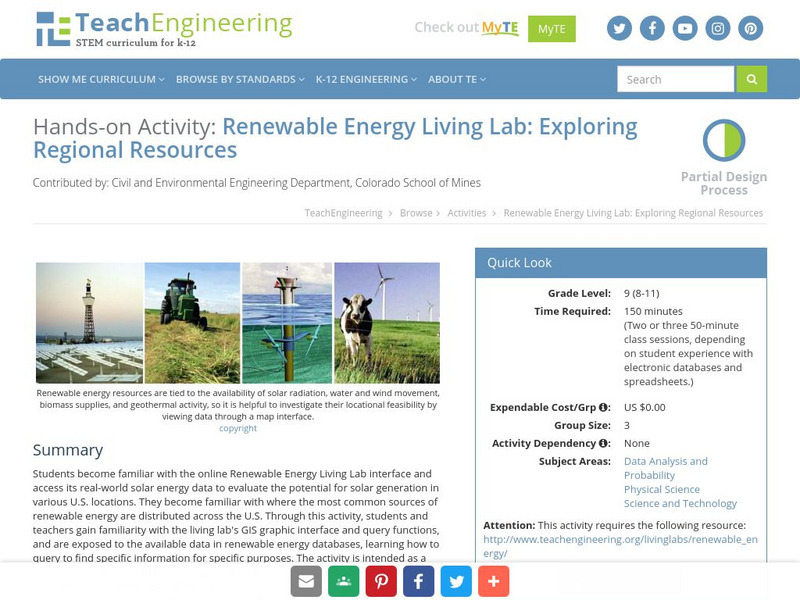
Teach Engineering: Renewable Energy Living Lab
Students become familiar with the online Renewable Energy Living Lab interface and access its real-world solar energy data to evaluate the potential for solar generation in various U.S. locations. They become familiar with where the most...
Science Education Resource Center at Carleton College
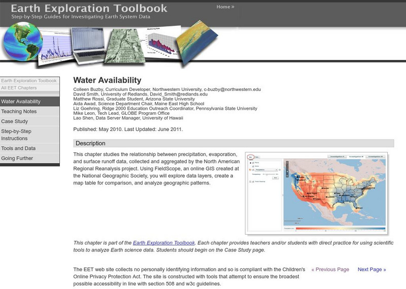
Serc: Water Availability
This lesson helps young scholars discover the relationship between precipitation, evaporation, and surface runoff data. Using FieldScope, an online GIS created at the National Geographic Society, students will explore data layers, create...
US Geological Survey
U.s. Geological Survey
The U.S. Geological Survey reports on the latest news affecting the earth today, as well as providing a wealth of data, reports, and information.
Geographyiq
Geography Iq
Detailed geographical information on any country is available at this site. Within the World Map section, you can get facts and figures about each country's geography, demographics, government, political system, flags, historical and...
TeachEngineering
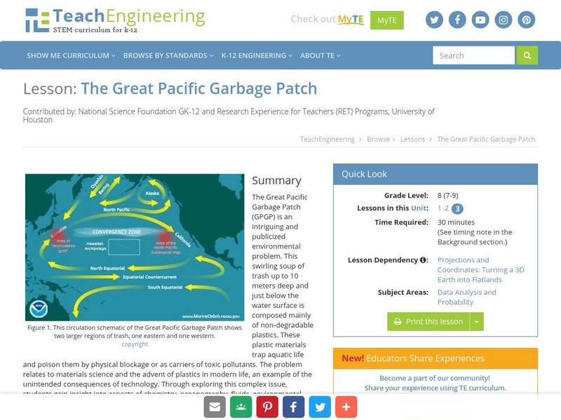
Teach Engineering: The Great Pacific Garbage Patch
The Great Pacific Garbage Patch (GPGP) is an interesting and somewhat publicized environmental problem. A swirling soup of trash up to 10 meters deep and just below the water surface is composed mainly of non-degradable plastics. These...


