Radford University
Google Earth Trip
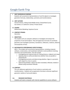
A trip around the world sounds nice, but for now we'll just have to make do with Google Earth. Pupils use pictures of landmarks to apply geometry concepts. They determine whether each building has bilateral or rotational symmetry, search...
Radford University
Google Earth Trip
Travel the world instantly—and learn about math along the way. Using pictures of famous places taken from Google Earth, scholars look for parallel and perpendicular lines based on slope and angle measurements. They also calculate...
TeachEngineering
Teach Engineering: Digital Mapping and Geographic Information Systems (Gis)
Geographic information systems (GIS), once used predominantly by experts in cartography and computer programming, have become pervasive in everyday business and consumer use. This unit explores GIS in general as a technology about which...
Science Education Resource Center at Carleton College
Serc: Drought
Eight online learning labs which focus on the effects of drought, the quiet disaster. Each module takes students to external sites containing data, graphs, and articles. Several labs also require additional software programs: a...
Other popular searches
- Google Earth Landforms
- Google Earth Scavenger Hunt
- Google Earth North Pole
- Google Earth Game
- Social Studies Google Earth
- Geography Google Earth
- Google Earth Lesson Plans
- Google Earth and Regions
- Google Earth Geology
- Google Earth Journalism
- Google Earth Glaciation
- Google Earth Ratings=3


