Teach Engineering
Projections and Coordinates: Turning a 3D Earth into Flatlands
Introduce your class to map projections and coordinates, the basics for the work done in a GIS, with an activity that uses Google Earth to challenge learners to think about the earth's shape.
Curated OER
Use Google Maps to Teach Math
Capture the engagement of young mathematicians with this upper-elementary math instructional activity on measuring time and distance. Using Google Maps, students first measure and compare the distance and time it takes to travel...
Curated OER
Roman Archy
Third graders research arch structures in Ancient Rome. In this Ancient Roman architecture lesson, 3rd graders use Google Earth and Google SketchUp to research seven important arches in Ancient Rome.
Curated OER
Mazes and Labyrinths
Students evaluate directions by participating in a maze activity. In this labyrinth instructional activity, students identify the history of mazes and labyrinths and utilize Google Earth to examine real life mazes. Students create...
Curated OER
Money Makes the World Go Around
Middle schoolers convert currency from around the world. In this math lesson, students solve exchange rate problems using Google Earth. They complete a worksheet during the simulation.
Curated OER
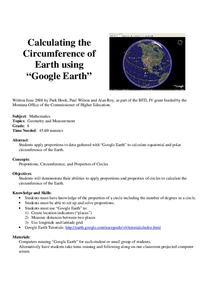
Calculation the Cricumference of Earth using "Google Earth"
Eighth graders investigate properties of circles. In this eight grade mathematics lesson, 8th graders apply proportional reasoning to data gathered with “Google Earth” to calculate equatorial and polar circumference of the...
Curated OER
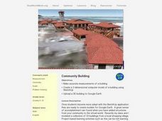
Community Building
Young scholars build different shapes using sketches. In this geometry lesson, students explore measurements and units as they build and create models of buildings. They use SketchUp to create and manipulate shapes.
Google
History of Math Lesson Plan
Learners honor mathematicians who have contributed important discoveries throughout history by researching and creating a report about a famous mathematician and their contributions to the history of mathematics. Pairs of learners...
Curated OER
Migration of the Neo-Tropical Songbirds
Fifth graders plot the migration of birds using Google Earth. In this lesson on bird migration, 5th graders work in groups to plot the migration of a group of birds using Google Earth. Students present and discuss their findings and look...
Curated OER
The Flat Earth
Students differentiate between different planes. In this geometry lesson plan, students differentiate between a plane and a sphere. They discuss the Great Circle, Geodesic and Lune as it relates to the earth.
Curated OER
Plate Tectonics: An "Eggs"periment
Students investigate plate tectonics by observing a cracked egg shell. In this Earth science lesson, students draw borders of continents on an egg shell, only to watch it crack in a glass. Students record the breakup of the...
Curated OER
Eratosthenes And Radius of the Earth
Students calculate the radius of the earth. They use the method and data suggested by Eratosthenes. They investigate the interrelationships among mass, distance, force, and time through experimental processes.
Curated OER
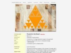
Pyramid in The Desert
Students investigate the Sierpinski triangle and calculate the ratio and area of the triangle. In this fractals instructional activity, students calculate parts of a Sierpincki triangle. They use Google Earth to help them construct the...
Curated OER
Where on Earth Are You From?
Young scholars create family trees and discuss cultural differences. In this cultural diversity lesson, students discuss the places their families came from and develop questions for each other.Young scholars show their...
EngageNY
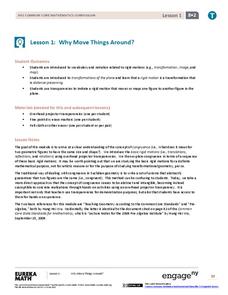
Why Move Things Around?
Explore rigid motion transformations using transparency paper. Learners examine a series of figures and describe the transformations used to create the series. They then use transparency paper to verify their conclusions.
California Mathematics Project
Meteorology
See how estimation is essential to making temperature weather maps. Scholars use ratios and rates of change to estimate temperatures at locations where temperature readings have not been made. They connect this idea to linear functions.
Curated OER
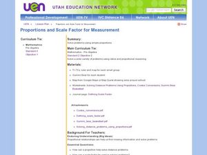
Proportions and Scale Factor for Measurement
Young scholars explore the concept of proportion. In this proportion lesson, students use google maps to find the distance the their school is from home. Young scholars discuss what a scale factor is through teacher led discussion....
Curated OER
Four Color Map
Learners explore geometry by completing a color puzzle. In this shape identification lesson, students utilize deductive reasoning to complete a Google SketchUp puzzle with trapezoid, triangles and rectangular shapes. Learners...
Curated OER
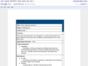
Lines, Segments, and Rays
Fifth graders use their arm, toothpicks, and marshmallows to create lines, segments, and rays. In this lines, segments, and rays lesson plan, 5th graders learn how these appear on a plane.
Curated OER
Publisher Brochures
Students create brochures on subjects they are studying in Publisher. For this nonfiction writing lesson, students use Publisher to create a brochure telling all the main ideas of a topic they are studying. Students use text boxes, fonts...
Curated OER
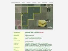
Complex Area Problems
Students calculate the area of different polygons. For this geometry lesson, students find the area of complex polygons. They solve word problems using rates and distances.
Curated OER
Sketch Up
Students estimate and measure exact. In this geometry lesson, students create different object in three-dimensional pattern. They use SketchUp to create their shape and perform measurements on their shapes.
Curated OER
Writing in Scientific Notation
Students discover number sense by completing a math worksheet. For this scientific notation lesson, students identify the purpose for writing in scientific notation and practice writing large numbers in scientific notation. Students...
Curated OER
Typhoon Project
Students graph and outline the path of a typhoon. In this algebra instructional activity, students measure the path of the typhoon and create a graph with their data. They analyze the data and make predictions.
Other popular searches
- Google Earth Landforms
- Google Earth Scavenger Hunt
- Google Earth North Pole
- Google Earth Game
- Social Studies Google Earth
- Geography Google Earth
- Google Earth Lesson Plans
- Google Earth and Regions
- Google Earth Geology
- Google Earth Journalism
- Google Earth Glaciation
- Google Earth Ratings=3


