Curated OER
Google Earth Geology Field Trip
Students take a virtual field trip around California using Google Earth. For this geology field trip lesson, students explore landforms and a variety of rocks located in California. Students compare environments where rocks are...
Curated OER
Roman Holiday in Google Earth
Students plan an itinerary for an educational trip to Rome. In this research skills instructional activity, students use Google Earth to conduct research for their project in their travel teams. Students also set up blogs to share their...
Curated OER
Designing and Creating Earth Science Lessons with Google Earth
Everything from adding an overlay to uploading images to navigating the software, teachers become apt at using Google Earth™ in the classroom to create Earth Science lessons.
Geophysical Institute
Latitude and Longitude with Google Earth
Travel the world from the comfort of your classroom with a lesson that features Google Earth. High schoolers follow a series of steps to locate places all over the earth with sets of coordinates. Additionally, they measure the distance...
Curated OER
Changing Planet: Permafrost Gas Leak
Pair earth scientists up to use an amazing online arctic portal mapping tool and Google Earth to analyze permafrost changes. They compare changes to data on atmospheric concentrations of methane to see if there is a correlation. Then...
Curated OER
Google Earth
Learners explore cardinal directions and the compass rose using Google Earth. In this cardinal directions and compass rose lesson, students use Google Earth to visit Disney World. Learners choose which direction to go to get there....
Curated OER
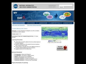
Variables Affecting Earth's Albedo
Learners study the variables that affect the Earth's albedo. In this environmental data analysis lesson students interpret and graph information and calculate changes.
Radford University
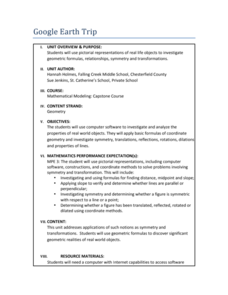
Google Earth Trip
A trip around the world sounds nice, but for now we'll just have to make do with Google Earth. Pupils use pictures of landmarks to apply geometry concepts. They determine whether each building has bilateral or rotational symmetry, search...
Radford University
Google Earth Trip
Travel the world instantly—and learn about math along the way. Using pictures of famous places taken from Google Earth, scholars look for parallel and perpendicular lines based on slope and angle measurements. They also calculate...
Curated OER
Google Earth Scavenger Hunt
Students complete activities to learn how to use Google Earth and study Alaska. In this Google Earth lesson, students complete a Google Earth scavenger hunt to find facts about Alaska. Students complete two worksheets for the topic.
Curated OER
Google Earth on the Range
Eighth graders use Google Earth to study the landscape of Utah. In this Utah landscape lesson plan, 8th graders view landscape photos and work in partners to analyze the pictures. Students write a paragraph that describes the landscape...
Curated OER
Green Buildings Virtual Tour
Students fill out a worksheet after researching green buildings by taking a virtual tour. In this green buildings lesson plan, students use Google Earth to research green buildings.
Curated OER
Using Google Earth in the Classroom
Students explore google earth and its functions. In this navigation lesson students create their own tour of google earth using all the navigation tools.
Teach Engineering
Projections and Coordinates: Turning a 3D Earth into Flatlands
Introduce your class to map projections and coordinates, the basics for the work done in a GIS, with an activity that uses Google Earth to challenge learners to think about the earth's shape.
Curated OER
Use Google Maps to Teach Math
Capture the engagement of young mathematicians with this upper-elementary math instructional activity on measuring time and distance. Using Google Maps, students first measure and compare the distance and time it takes to travel...
Curated OER
Roman Archy
Third graders use Google Earth to examine Roman architecture. In this ancient Rome lesson, 3rd graders visit the noted URLs to look at examples of Roman architecture. Students work in teams to examine data about the structures.
Curated OER
Walking in the Footsteps of the Romans
Class members have an opportunity to walk in the footsteps of Romans with a skills lesson that asks them to use Google Earth to conduct research on famous Romans. The culminating project is a multimedia tour through Rome...
Curated OER
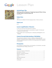
Walking with the Emperors: Exploring Imperial Rome
Students travel Rome. For this geography skills lesson, students explore famous places in Rome with Google Earth tools. Students research the city of Rome and create touring videos that feature their findings.
PBS
Earth’s Ever-Changing Surface
The Grand Canyon formed between five and six million years ago, but is it still changing? Scholars explore 10 sites in the United States, including the Grand Canyon, to better understand the geoscience processes that formed these...
Teachers' Curriculum Instituted
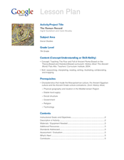
The Roman Record
Using Google Earth, Google Docs, and other Google Tools, collaborative groups of seventh graders research and then create and share online newspapers reporting on the early development, geographical features, political issues, and...
Curated OER
Battlefield Walks
Students create a picture of a Civil War battle using Google Earth. For this Civil War lesson, students pick a battlefield and research it with a partner. They find the location on Google Earth and use colors and overlays to show...
Curated OER
Kansas Ponds, Lakes & Reservoirs
Learners compare the ponds, lakes, and reservoirs of Kansas. In this geography lesson plan, students use Google Earth to research the different ponds, lakes, and reservoirs in Kansas. Learners will discover that many of the...
Curated OER
Roman Archy
Third graders research arch structures in Ancient Rome. In this Ancient Roman architecture lesson, 3rd graders use Google Earth and Google SketchUp to research seven important arches in Ancient Rome.
NY Learns
Geography of the Fertile Crescent by ECSDM
Using Google Earth, a vocabulary assignment, and map handout, your class members will outline the Fertile Crescent in Mesopotamia and identify the source of the Tigris and Euphrates rivers. They will then complete graphic organizers...
Other popular searches
- Google Earth Landforms
- Google Earth Scavenger Hunt
- Google Earth North Pole
- Google Earth Game
- Social Studies Google Earth
- Geography Google Earth
- Google Earth Lesson Plans
- Google Earth and Regions
- Google Earth Geology
- Google Earth Journalism
- Google Earth Glaciation
- Google Earth Ratings=3


