Owl Teacher
Teach Ancient Rome!
Teaching the class about Ancient Rome can be fun for you and for them! Check out this incredible resource that has everything you need to bring ancient Roman civilization back to life. Begin by scrolling to the bottom of the page and...
Curated OER
Fells Point's Role in Shipping and Trade
Eighth graders examine the trade and military advantages of ships built in Fells Point. In this American History lesson, 8th graders analyze primary sources. Students create an encyclopedia of Fells Point.
Curated OER
The Opium Trade, the Opium War and the Treaty of Nanjing
Ninth graders analyze the English model if imperialism with regard to China and examine the economic and political impact of trade and conflict between England and China in the eighteenth and nineteenth centuries. They discuss the...
Curated OER
Fourth Grade Social Studies Quiz
In this social studies worksheet, 4th graders complete multiple choice questions about the colonies, The Boston Tea Party, Native Americans, and more. Students complete 15 questions.
Curated OER
Number The Stars
Students read a book about prejudices that occur in our daily lives. They describe characters in the book. Students discuss real life events of World War II and the Holocaust. Students simulate hiding Jews from the German soldiers. ...
Curated OER
How Islands Form
Students how islands form, rising water levels, growth of coral, and volcanoes. They complete Island Investigation worksheets after researching island formation on various Internet websites.
Curated OER
Vocabulary Multiple Choice Worksheet 8
In this ESL vocabulary worksheet, students focus on vocabulary enhancement. Students complete 8 multiple choice questions by reading each sentence and choosing the best word to complete each.
Curated OER
Victims of Geography
Students examine the toll taken on New Orleans by Hurricane Katrina. In this current events activity, students visit selected websites to discover details about the geography of the city and the hurricane itself.
Curated OER
Destination-Northern Ireland
Students explore Northern Ireland. For this social studies lesson, students read about Northern Ireland and write questions about the reading. Students share their questions with classmates.
Curated OER
A Comparative Study of Bangor, Wales and Your Community
Twelfth graders research how a university in their local community changes the cultural landscape of the area. As a class, they discover how the town of Bangor, Wales was affected and compare that to a community in their local area. They...
Curated OER
Weather and the D-Day Invasion
Students study the weather that occurred during the invasion of Normandy. They research using the Internet to locate information about the invasion and the meteorologists who helped during the war effort. They
Curated OER
Ancient Mediterranean Lands: Rome
Seventh graders research ancient Roman civilizations, trade routes, aqueducts, and agriculture. In this Ancient Rome lesson, 7th graders view a picture of the Roman Aqueduct Pont du Gard and discuss its use in ancient Rome. Students read...
Curated OER
Street Language
Students consider the impact of language. In this literacy lesson, students read an article about literary classics being rewritten in "youth speak" (the article is not included). Students read and discuss the article.
Curated OER
City Quiz Series: Derby Industrial Museum
In this research skills worksheet on the Derby Industrial Museum, students use the Internet or library to answer questions about the Derby Industrial Museum at the Silk Mill.
Enchanted Learning
Enchanted Learning: Zoom School: Uk of Great Britain and Northern Ireland
Use this site to explore the United Kingdom. Learn about the UK's flag, geography, map, explorers, animals, scientists, explorers and more.
Other
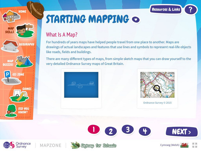
Map Zone: Starting Mapping
Discover the basics of mapping by reading about what maps are, what they provide, how to fold them, and how to use them properly. Content focuses on Great Britain.
Other
What the Industrial Revolution Did for Us
This online companion to a television production in the U.K. contains information about the achievements of the Industrial Revolution. Click the Changing Landscape link to view an interactive map showing how the landscape of Great...
Curated OER
Educational Technology Clearinghouse: Maps Etc: Modern Great Britain, 1889
A map of Great Britain in 1889, showing major cities, boundaries of Scotland, England, and Wales, rivers, Ben Nevis, and the Grampian and Cheviot Hills.
Curated OER
Educational Technology Clearinghouse: Maps Etc: Great Britain and Ireland, 1789
Map of Great Britain and Ireland in 1789 showing rivers and major cities.
Curated OER
Coal Fields and Principal Industrial Centers and Ports of Great Britain, 1916
A map of Great Britain in 1916, showing the primary coal fields, centers of iron industry, ports, industrial centers, and steamship routes with distances between major ports shown.
Nations Online Project
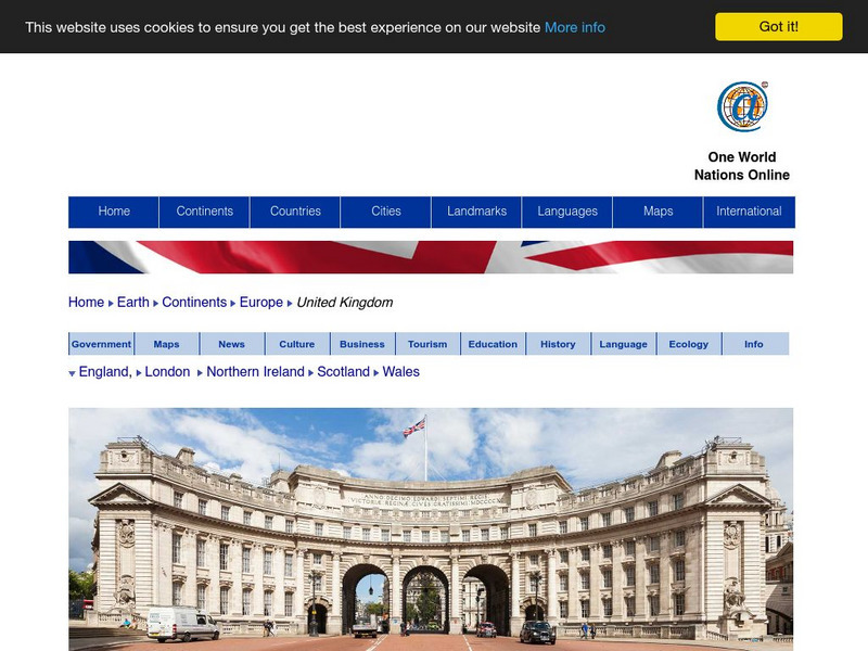
Nations Online: United Kingdom
A great country profile that takes you on a virtual trip to the United Kingdom. An overview is given on its art, culture, people, environment, geography, history, economy, and government. There are numerous links available that will...
BBC
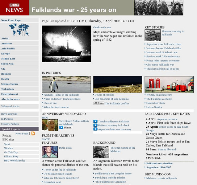
Bbc News: Falklands War 25 Years On
An interactive look back at the Falkland War between the UK and Argentina. Maps, images, video, audio, timelines, quizzes are all featured.
Curated OER
Educational Technology Clearinghouse: Maps Etc: Guiana Territory Dispute, 1902
A map from 1910 showing the territorial disputes in the Guianas at the time. The map shows the Schomburgk Line (1840) between Venezuela and British Guiana, the disputed territories claimed by both Venezuela and Great Britain and occupied...
Curated OER
Etc: Maps Etc: War of 1812 Map of Main Operations, 1812
A map of the Great Lakes region showing the main operations during the War of 1812 (1812-1814). It also shows some of the inland waters. This war was between the United States and Great Britain because of "Great Britain's attitude in...


