Other
Milwaukee Public Museum: Indian Country: Oral Tradition
The Milwaukee Public Museum provides this introduction to the Native American oral tradition and oral literature of the Great Lakes region. Describes common themes and characters, including trickster characters and windingo (ice...
Cleveland State University
Cleveland State University: Iron
A history of the iron ore industry with a focus on the Great Lakes Region. Well written and interesting.
Other
Great Lakes Information Network: Economy
This site consists of economic information about various midwestern states and industries. Site can be used for students to conduct research. Various aspects about the midwestern economy are included.
Read Works
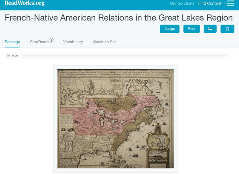
Read Works: French Native American Relations in the Great Lakes Region
[Free Registration/Login Required] This historical passage discusses the relations between the French and Native Americans in the Great Lakes Regions during the 1700's and 1800's. This passage is a stand-alone curricular piece that...
Curated OER
Map of Great Lakes Tribes. Click for Larger Image.
This site provides information on the Indians that inhabited the Great Lakes Region upon settlement by Europeans.
Curated OER
Etc: Maps Etc: Automobile Routes of the Great Lake Vicinity, 1920
A map from the 1920 Automobile Club of Rochester showing automobile routes in the Great Lakes Region, around western Lake Ontario, and the Canadian portion of Lake St. Clair and southern Lake Huron. The map shows route numbers, mileages...
Curated OER
Educational Technology Clearinghouse: Maps Etc: The Great Lakes, 1812
A map of the Great Lakes region at the outbreak of the War of 1812, showing the sites of initial English successes, including Fort Mackinaw, Fort Dearborn (Chicago), and Detroit, which was surrendered to the English by General Hull.
Digital Public Library of America
Dpla: Two Hundred Years on the Erie Canal
Learn about the Erie Canal, one of the most famous man-made bodies of water in the world. Completed in 1825, the Erie Canal connected the port of New York City on the Atlantic Ocean with the Great Lakes transforming trade, industry, and...
Siteseen
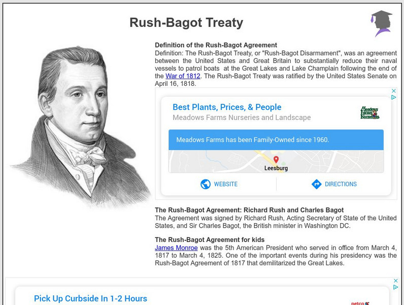
Siteseen: American Historama: Rush Bagot Treaty
Details about the Rush-Bagot Treaty that demilitarized the Great Lakes region.
NOAA
Noaa: Freshwater
This site is designed to assist the educator in teaching concepts and processes related to freshwater environments and to increase stewardship of these important resources. There are links to resources regarding the Great Lakes...
Annenberg Foundation
Annenberg Learner: American Passages: Native Voices, Chippewa Songs
Study the great oral tradition of the Chippewa Tribe in the Great Lakes regions through their music collected by Frances Densmore. For classroom activities and lesson enhancements click on the link, "Chippewa Songs Activities."
Other
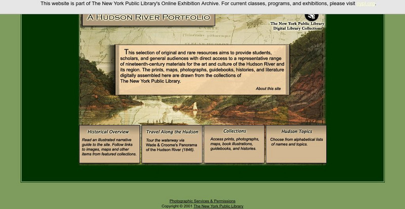
New York Public Library: A Hudson River Portfolio
Learn about the Hudson River and the role it played in the westward and northward expansion of America (to the Great Lakes regions and to Canada) in the nineteenth century. Useful for understanding the importance of rivers as means of...
University of Regina (Canada)
University of Regina: Math Central: Map of First Nations Peoples Pre Contact Culture Areas
A color coded map of North America which contains the regions inhabited by different aboriginal nations.
Nature Conservancy
Nature Conservancy: Animals We Protect: Karner Blue Butterfly
Discover the beauty of the Karner blue butterfly found in the Great Lakes region and the northeast United States.
Curated OER
Educational Technology Clearinghouse: Maps Etc: Lake Agassiz, 1911
A map of the Laurentide era glacial Lake Agassiz in the present day region of the northern United States and southern Saskatchewan, Manitoba, and Ontario. The lake was present during the last glacial period, and covers an area larger...
Curated OER
Etc: Northern Region of the War of 1812, 1812 1814
A series of maps showing the northern campaigns, forts, and battle sites during the War of 1812, including details of the campaigns of the Army of the Centre (Lundy's Lane, Beavers Dam, and Burlington Heights), campaigns of the Army of...
Other
Aboriginal People's Television Network: Ojibwe Documentary Series
Waasa-Inaabidaaa We Look In All Directions is a six-part documentary series about five hundred years of Ojibwe history and culture for bands in the Great Lakes Region The resource has teacher's guides for each episode, maps, timelines,...
Curated OER
Chippewa Camp. Click for Larger Image.
This site provides information on the Indians that inhabited the Great Lakes Region upon settlement by Europeans.
Curated OER
Etc: Maps Etc: Canada, Railways and Economic Regions, 1911
A map from 1911 of Canada showing the principal economic regions, railway network, and shipping routes in the Great Lakes and Hudson Bay. The map is color-coded to show the industrial districts, agricultural lands, grazing lands, and...
Curated OER
Unesco: Chad: Lakes of Ounianga
The site includes eighteen interconnected lakes in the hyper arid Ennedi region of the Sahara desert covering an area of 62,808 ha. It constitutes an exceptional natural landscape of great beauty with striking colours and shapes. The...
Travel Document Systems
Tds: Chad: Geography
A great look at the physical features, climate, and topography of the landlocked country of Chad. Read about the climate zones and wildlife. Information is from the U.S. State Dept. Background Notes.
Curated OER
Etc: Chief Scene of Operations French and Indian War, 1754 1755
A map of the eastern Great Lakes region to the Hudson River and Lake Champlain showing the chief scene of operations of the French-Indian War at the outbreak of the war in 1754-1755. The map shows the British and French forts and...
Curated OER
Educational Technology Clearinghouse: Maps Etc: Northern Campaign, 1812 1814
A map of the Great Lakes region of North America showing the area of conflict during the northern campaign of the War of 1812, from Lake Michigan east to Lake Champlain and the Hudson River. The map shows the routes of Hull, Wilkinson,...
Curated OER
Etc: Scene of Operations in the War of 1812, 1812 1815
A map of the Great Lakes Region of North America to the Hudson River showing the northern area of conflict during the War of 1812, including the important sites of Fort Dearborn (Chicago), Battle of Tippecanoe, Detroit, Frenchtown (River...


