Curated OER
Route of Champlain's Second Voyage, 1604 1607, From Cape Breton to Cape Cod
This page, and the one after it, have a collection of the earliest maps of Canada by all the best known explorers.
Curated OER
Route of Fraser's Voyage From Fort Chipewyan to the Pacific Ocean, 1805 1808
This page, and the one after it, have a collection of the earliest maps of Canada by all the best known explorers.
Curated OER
Route of Cook's Second Voyage, July 13, 1772 July 29, 1775, South Pole
This page, and the one after it, have a collection of the earliest maps of Canada by all the best known explorers.
Curated OER
Route of Franklin's Expedition From Fort Resolution to the Arctic Coast in 1825
This page, and the one after it, have a collection of the earliest maps of Canada by all the best known explorers.
Other
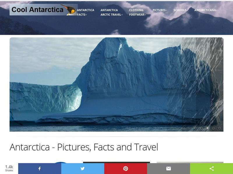
Cool Antarctica: Pictures, Information, and Travel Guide
A complete look at the continent of Antarctica. You can view pictures, utilize a fact file index, and get a historical timeline.


