Port Jefferson School District
Hurricane Katrina
Young scientists track Hurricane Katrina across the Atlantic Ocean as they learn about these destructive forces of nature. Provided with a table of data tracking the location and conditions of Katrina over a one week span, students...
Curated OER
Hurricane
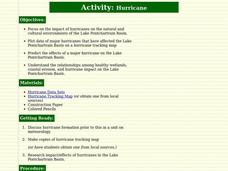
Students learn about and track hurricanes. In this natural disasters lesson, students discuss hurricane formation and research the impact/effects of hurricanes in the Lake Pontchartrain Basin. Students use a hurricane tracking map to...
Curated OER
Hurricane Tracking
Students access the Internet to find information on current hurricanes. They get locations, speeds, and air pressures and then plot the location of the hurricane on a hurricane-tracking map. They also access the FEMA website to solve...
Curated OER
Hurricanes
Students research the formation and life-span of hurricanes and, after analyzing statistics, try their hand at plotting and predicting the course a hurricane.
Curated OER
Tracking a Hurricane
Students play the role of amateur meteorologists and track a hurricane. In this hurricane lesson, learners follow a hurricane by tracking its coordinates on an overhead map. Students work in small groups to place dots on the map showing...
Curated OER
Hurricane Tracking
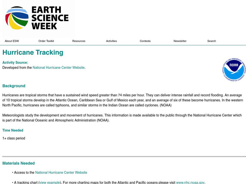
Students recognize that hurricanes are tropical storms that have a sustained wind speed greater than 74 miles per hour. In this science lesson, students plot data they observe on the National Hurricane Center Website in order to track...
Curated OER
Hurricanes As Heat Engines
Students examine sea surface temperatures to see how hurricanes get heat from the oceans surface. In this hurricanes lesson students use the Internet to find data and make line plots.
Curated OER
Become the Meteorologist
Seventh graders analyze the data from Hurricane Tracking maps. In this earth science lesson, 7th graders plot data points on their maps and predict where the storm will most likely hit. They compare their prediction with the actual storm...
Curated OER
Hurricanes-Disasters In the Making
Sixth graders discover the proper methods for plotting hurricanes while developing their understanding of hurricanes by researching and gathering tracking data from technological sources. Students develop a newsletter about hurricanes,...
Curated OER
Tracking the Storm
Students discuss the different types of storms that can hit land. They locate specific coordinates on a plane grid. They discuss lonsgitude and latitude to plot the coordinates of a tropical storm. They practice finding coordinates...
Curated OER
Science: Hurricanes As Heat Engines
Students conduct Internet research to track the path of Hurricane Rita. They record the sea surface temperature of the Gulf of Mexico during and after the hurricane and draw conclusions about how hurricanes extract heat energy from the...
Curated OER
Data Analysis and Measurement: Ahead, Above the Clouds
Students explore and discuss hurricanes, and examine how meteorologists, weather officers, and NASA researchers use measurement and data analysis to predict severe weather. They plot points on coordinate map, classify hurricanes...
Curated OER
Predicting Severe Weather
Learners recognize the range and variety of severe weather. They plan for severe weather conditions that they may experience on an immediate and long-term scale and use climate information to make personal choices about where to live and...
Curated OER
Latitude and Longitude: Geography and Geometry!
Second graders use latitude and longitude coordinates to pinpoint an exact location on the map. In this geography instructional activity, 2nd graders utilize handouts from the Maritime Museum in order to gain practice in finding...
Curated OER
Subsidence/ Erosion
Pupils utilize prior knowledge about the Pontchartrain Basin. For this subsidence/erosion lesson, students study the chart on land subsidence and must them identify and find solution for problems caused by erosion.
American Geosciences Institute
American Geosciences Institute: Earth Science Week: Hurricane Tracking
Students track and plot hurricanes paths for study.
Center for Educational Technologies
Severe Weather: Hurricane Watch
Hurricanes are the most powerful of storms. Using satellite images, this site allows you to plot the path of a hurricane and predict when it will strike land.


