US Geological Survey
U.s. Geological Survey: Repeat Photography Project
The Repeat Photography Project pairs historic images with contemporary photos thus documenting glacial decline through photography while communicating the effects of global warming.
NASA
Scijinks: Clouds, Water, and Ice
Classroom activities, photographs, and printable posters featuring clouds, water, and ice.
Read Works
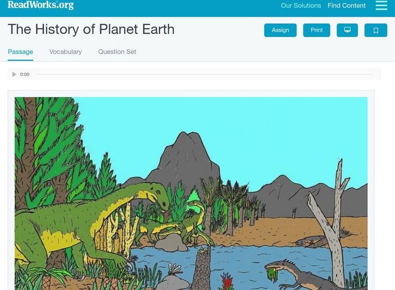
Read Works: The History of Planet Earth
[Free Registration/Login Required] This informational text passage shares information about the history of the earth and its landforms. This passage is a stand-alone curricular piece that reinforces essential reading skills and...
US Geological Survey
U.s. Geological Survey: Search
The U.S. Geological Survey offers information for teachers and students interested on Earth Science research. Contains references to general information as well as current research and events.
PBS
Pbs: Nova: Learning About Earth's History With Ice Cores
This resource explains how ice cores are used to analyze past events like air pollution, volcanic activity, climate changes, and radioactivity.
Science Struck
Science Struck: Types of Landforms
Describes different landform types and their features. includes many good quality photographs.
Other
Geoscience Research Institute: The Little Ice Age
This very detailed article examines the long-term climate changes throughout the world. Discusses agriculture and provides graphs and illustrations. Includes lots of scientific discussion.
US Geological Survey
Usgs: How Much Water Is There on (And In) the Earth?
The USGS gives an overview of the amount of water on Earth and where it is located. It gives a few interesting facts about the Earth's supply of water. Click Home to access the site in Spanish.
Ohio State University
Beyond Penguins and Polar Bears: The Forces That Change the Face of Earth
Learn how different types of Earth processes change Earth's surface.
Other
Glacier Explorers
Visit New Zealand's Tasman Glacier terminal lake for a fascinating glacial encounter. Find a tab dedicated to information about the park in addition to recent news.
ClassFlow
Class Flow: Ice Age Vocabulary Game
[Free Registration/Login Required] This flipchart is an interactive flashcard game. At the end, students can test themselves with a matching activity.
US Geological Survey
Usgs: Earth Surface Dynamics (Research Activities)
This site from USGS provides several activities to help understand the interrelationships among earth surface processes, ecological systems, and human activities. Also included are links to new findings and programs concerning Earth...
Ducksters
Ducksters: Earth Science for Kids: Ice Ages
Find out facts about the ice age on this site. Kids investigate about the ice ages and Earth sciences including glacial and interglacial periods, major ice ages, interesting facts, and their causes.
Science4Fun
Science4 Fun: Caves
Find out about cave formation, the different types, cave features, and more fun facts
Curated OER
Etc: Maps Etc: Physical Map of South America, 1898
A map from 1898 of South America showing the general physical features including mountain systems, prominent peaks and volcanoes, river and lake systems, plateaus, and coastal features. The map includes an insert of the Isthmus of...
Curated OER
Educational Technology Clearinghouse: Maps Etc: Switzerland, 1904
A geo-political map of Switzerland that shows canton and country borders current to 1904, major cities, tunnels and railroad lines. Physical features such as mountain ranges with elevation measured in feet, glaciers, and major rivers....
Curated OER
Unesco: Denmark: Ilulissat Icefjord
Located on the west coast of Greenland, 250 km north of the Arctic Circle, Greenland’s Ilulissat Icefjord (40,240 ha) is the sea mouth of Sermeq Kujalleq, one of the few glaciers through which the Greenland ice cap reaches the sea....
Curated OER
Etc: Maps Etc: Europe During the Glacial Period, Glacial Period
A Map of Europe showing the extent of the ice sheets during the last glacial period, the flow direction of the ice, and the remnant glaciers found in Europe in 1916.
Curated OER
Educational Technology Clearinghouse: Maps Etc: Highwood Mountains, 1911
A map of a part of the Highwoods Mountains in Montana showing a glaciated portion of the Great Plains. The map shows the remnant glacial features such as moraine and drift, and shows the areas covered by younger drift, areas covered by...
Curated OER
Unesco: Canada: Canadian Rocky Mountain Parks
The contiguous national parks of Banff, Jasper, Kootenay and Yoho, as well as the Mount Robson, Mount Assiniboine and Hamber provincial parks, studded with mountain peaks, glaciers, lakes, waterfalls, canyons and limestone caves, form a...
Curated OER
Unesco: China: Huanglong Scenic and Historic Interest Area
Situated in the north-west of Sichaun Province, the Huanglong valley is made up of snow-capped peaks and the easternmost of all the Chinese glaciers. In addition to its mountain landscape, diverse forest ecosystems can be found, as well...
Curated OER
Educational Technology Clearinghouse: Clip Art Etc: Louis John Rudolph Agassiz
(1807-1873) Swiss-American geologist and naturalist famous for his study of glaciers.
Curated OER
Merriam Webster: Visual Dictionary Online: Glacier
Labeled diagram of the principal formations associated with glaciers.
Channel 4 Learning
4 Learning: Geography Essentials: Investigating Rivers
A description of rivers, their uses, and their formation. There are worksheets and links for additional teacher support.
Other popular searches
- Icebergs
- Glaciers and Icebergs
- Iceberg and the Titanic
- Iceberg of Sea Ice
- Icebergs and Salinity
- Iceberg Hermit
- Iceberg Melting Rate
- Iceberg Hemingway
- Culture Iceberg
- Cultural Iceberg
- Iceberg, Limitation
- 2006 Atlantic Iceberg


