Curated OER
Europe 1871-1914
In this online interactive history worksheet, students respond to 10 short answer and essay questions about the Europe between the years 1871 and 1914.
Curated OER
Partition of Africa Questions
In this colonial Africa worksheet, students study a map of Africa from 1885-1914. Students then respond to 9 short answer questions based on the information presented in the map.
Curated OER
Munich: Peace in Our Time
Students examine the Munich Agreement. In this World War II lesson, students analyze the agreement made among Germany, the United Kingdom, France, and Italy. Students discuss the strengths and weaknesses of the agreement.
Curated OER
Causes of World War One
In this causes of World War I study guide worksheet, high schoolers discover details regarding this time period in world history. Students read 5 sections of information and examine photographs. High schoolers also respond to 12 short...
Curated OER
This Land is Your Land
Students consider the concept of borders and their development by looking at maps and documents. They create a presentation highlighting a current border dispute and propose solutions.
Tom Richey
Tom Richey: Modernization, Unification & Imperialism (1850 1914)
Study the modernization of Europe, the unification of Germany and Italy, and the New Imperialism in Africa and Asia with these resources. Find videos, lessons, and PowerPoint presentations.
Massachusetts Institute of Technology
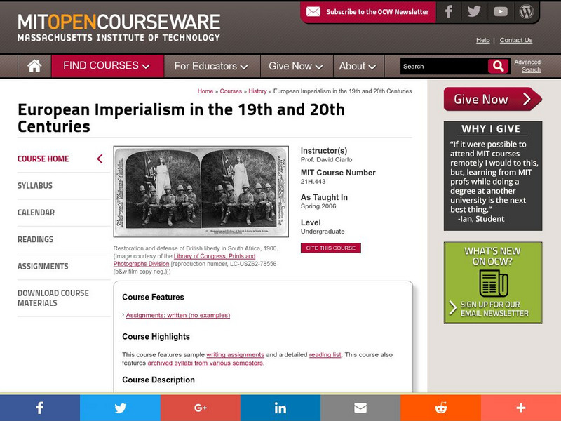
Mit: Open Course Ware: European Imperialism: Nineteenth and Twentieth Centuries
Access university-level course materials compiled for course on European imperialism.
BBC
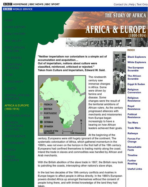
Bbc: Africa & Europe (1800 1914)
Part of the BBC's "Story of Africa" series, this article covers 19th century exploration and colonization. Archived.
Open Door Team
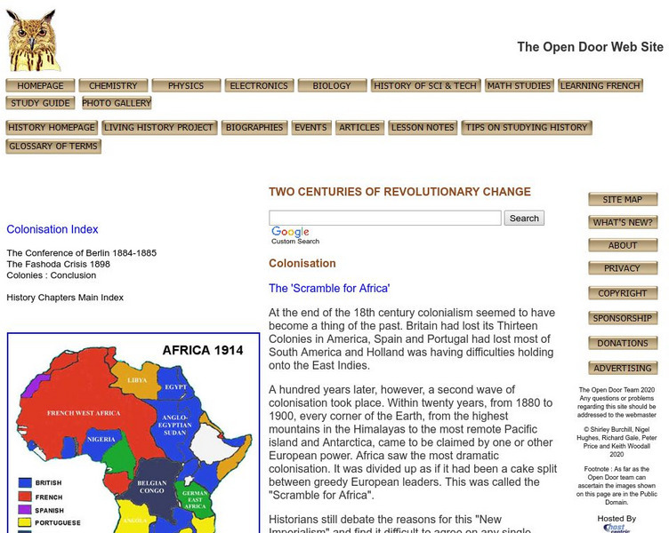
Open Door Web Site: Africa 1914
A colorful map depicting the European claims established in Africa by 1914.
Other
Fresno Unified School District: The Age of Imperialism
This article defines imperialism and discusses its effects. Includes a map showing partition in Africa. Additional links provide even more helpful information.
Internet History Sourcebooks Project
Fordham University: Modern History Sourcebook: John Hobson Imperialism 1902
This site from the Modern History Sourcebook of Fordham University provides John A. Hobson's critique of Imperialism, from an economic point of view.
Other
The Map as History: Europe's Colonial Expanision 1820 1939
European countries began exploring and seeking to dominate the rest of the world during the 15th and 16th centuries, thanks to their ability to control sea routes and to the discovery of the American continent. In the 19th century,...
Mount Holyoke College
Mount Holyoke College: The Tripoli Question
Brief, but informative historical background on the events and influences that lead to the Italian invasion of Tripoli in 1911.
Lonely Planet
Lonely Planet: Libya History
This site from Lonely Planet provides an overview of Libyan history from the Roman invasion in the 2nd century to modern day. It includes a section on Italian/Turkish conflict and the struggle for control of the region.
Other
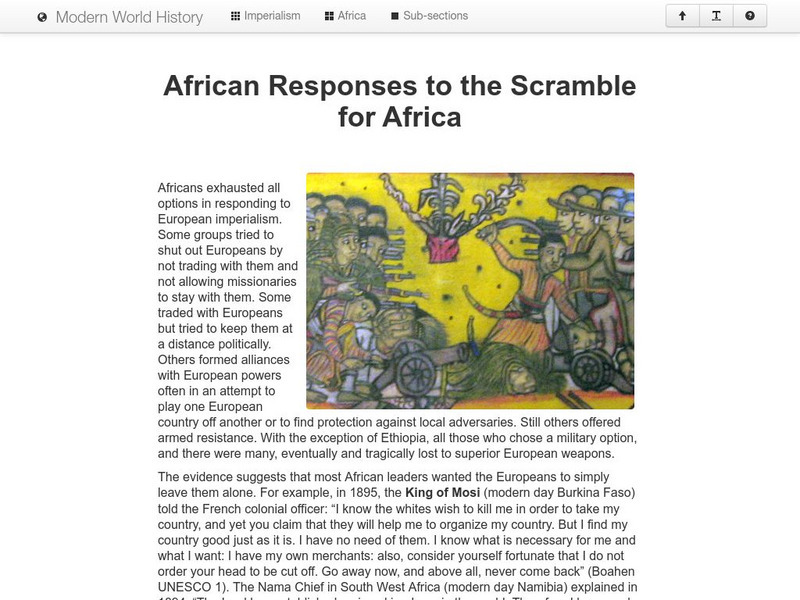
Modern World History: African Response to the Scramble for Africa
African leaders responded in diverse ways to European colonization. Armed resistance, trade embargos, and forming alliances with European powers are a few methods. Read the example of one African state (Ethiopia) that retained their...
Curated OER
Educational Technology Clearinghouse: Maps Etc: Colonial Africa, 1914
A map of Africa in 1914, showing the presence of European powers, including British, French, German, Portuguese, Spanish, Italian, and Belgian possessions. Native states, major cities and major railways are also shown. This map reflects...
ClassFlow
Class Flow: Ks3 History Empire
[Free Registration/Login Required] A flipchart presenting twenty questions about specific facts relating to the growth of the British Empire, particularly in the nineteenth century.


