Independence Hall Association
U.s. History: Closing the Frontier
A brief look at the conflict between Native Americans in the last half of the 19th century. By the end of the century, Native Americans were relegated to reservation life. See how the struggle was fought and find out the advantages of...
Smithsonian Institution
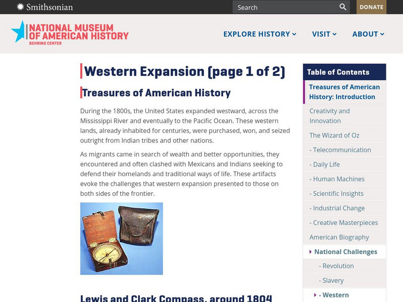
National Museum of American History: Treasures of Am. History: Western Expansion
Shown are images and descriptions of artifacts that express the challenges that the migrants, Mexicans, and Indians shared in their quest for westward expansion in the United States during the 1800s.
Other
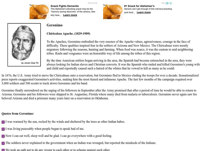
Powerful People: Geronimo, Chiricahua Apache
Many beautiful quotes from Geronimo, as well as a short biography.
Other
Kansas History: The Last Land Rush
A brief description of the land rush onto the Cherokee Strip, land sold by the Cherokees to the U.S. government in 1891.
Other
Powerful People: Chief Joseph, Nez Perce (1840 1904)
Many strong and insightful quotes from Chief Joseph as well as a brief biography and picture.
Other
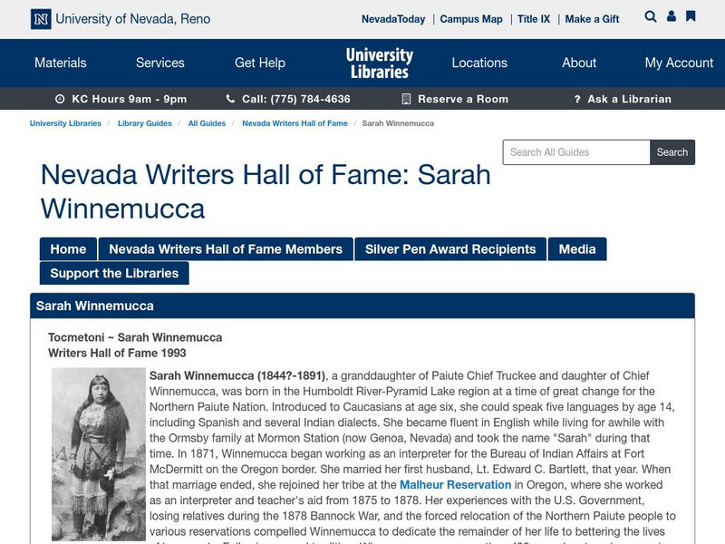
Nevada Writers Hall of Fame: Tocmetoni Sarah Winnemucca
Contains a description on the life and works of Sarah Winnemucca, Native American author and rights activist.
Other
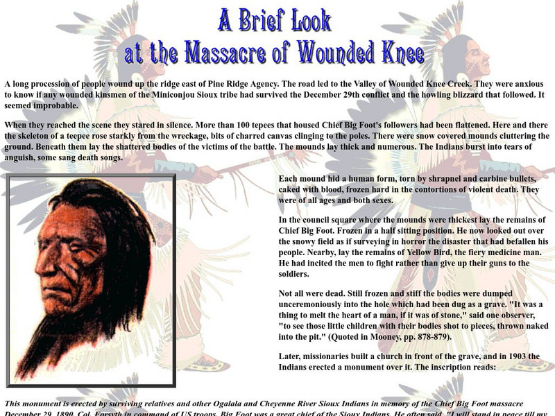
Cyber Learning World: A Brief Look at the Massacre of Wounded Knee
Read an interesting article on the massacre at Wounded Knee written in an engaging way by a high school social studies teacher.
Other
A Web of Understanding: Ktunaxa Nation
The Ktunaxa Nation were the first group to inhabit the Kootenay area. With the coming of Europeans, they suffered enormous prejudice, even more so that immigrants from other lands. See original documents, news articles and photographs...
PBS
Pbs Learning Media: New Confidence
This Wide Angle video looks at the reservations that a traditional Indian family had about their daughter taking a job in India's outsourcing industry.
Curated OER
Educational Technology Clearinghouse: Maps Etc: Division of the West, 1782
A map of the United States and the division of the West as proposed by France, on September 6th, 1782. The map is color-coded to show the United States at the time, the Indian Reserves south of the Ohio River under the protection of the...
Curated OER
Educational Technology Clearinghouse: Maps Etc: Utah, 1920
A map from 1920 of Utah showing the capital at Salt Lake City, counties and county seats, principal cities and towns, Indian reservations, forest reserves, military reservations, railroads, mountains, lakes, rivers, and the Great Salt...
Curated OER
Educational Technology Clearinghouse: Maps Etc: Arizona, 1914
A map of Arizona from 1914 showing the State capital of Phoenix, counties and county seats, major cities and towns, Indian reservations, railroad lines, mountains, mesas and plateaus, rivers, and the Grand Canyon. A grid reference at the...
Curated OER
Educational Technology Clearinghouse: Maps Etc: Ontario (Northern Part), 1920
A map from 1920 of the northern part of the province of Ontario. The map shows the capital of Ottawa, major cities and towns, existing and proposed railways, county boundaries, forest reserve boundaries, national park boundaries, Indian...
Curated OER
Educational Technology Clearinghouse: Maps Etc: Ontario (Southern Part), 1920
A map from 1920 of the southern part of the province of Ontario. The map shows the capital of Ottawa, provincial capital of Toronto, major cities and towns, existing and proposed railways, county boundaries, forest reserve boundaries,...
Curated OER
Educational Technology Clearinghouse: Maps Etc: Montana, 1920
A map from 1920 of Montana showing the capital of Helena, counties and county seats, major cities and towns, Indian reservations, military reservations, railroads, rivers, and mountains. The boundaries of Yellowstone National Park,...
Curated OER
Educational Technology Clearinghouse: Maps Etc: Montana, 1914
A map from 1914 of Montana showing the capital of Helena, counties and county seats, major cities and towns, Indian reservations, military reservations, railroads, rivers, and mountains. An inset map details Yellowstone National Park,...
Curated OER
Educational Technology Clearinghouse: Maps Etc: Montana, 1920
A map from 1920 of Montana showing the capital of Helena, counties and county seats, major cities and towns, Indian reservations, military reservations, railroads, rivers, and mountains. The boundaries of Yellowstone National Park,...
Curated OER
Educational Technology Clearinghouse: Maps Etc: Nevada, 1909
A map from 1909 of Nevada showing the capital of Carson City, major cities and towns, Indian reservations, forest reservations, railroads, mountains, lakes, and rivers.
Curated OER
Educational Technology Clearinghouse: Maps Etc: Nevada, 1919
A map from 1919 of Nevada showing the capital of Carson City, major cities and towns, Indian reservations, forest reservations, railroads, mountains, lakes, and rivers.
Curated OER
Educational Technology Clearinghouse: Maps Etc: Nevada, 1922
A map from 1922 of Nevada showing the capital of Carson City, major cities and towns, Indian reservations, forest reservations, railroads, mountains, lakes, and rivers.
Curated OER
Educational Technology Clearinghouse: Maps Etc: Nevada, 1911
A map from 1911 of Nevada showing the capital of Carson City, counties and county seats, major cities and towns, Indian reservations, forest reservations, railroads, mountains, lakes, and rivers. A grid reference in the margins of the...
Curated OER
Educational Technology Clearinghouse: Maps Etc: Wyoming, 1920
A map from 1920 of Wyoming showing the capital, Cheyenne, counties and county seats, Indian reservations, principal cities and towns, railroads, military reservations, mountains, rivers, and the Yellowstone National Park.
Curated OER
Educational Technology Clearinghouse: Maps Etc: Wyoming, 1920
A map from 1920 of Wyoming showing the capital, Cheyenne, counties and county seats, Indian reservations, principal cities and towns, railroads, military reservations, mountains, rivers, and the Yellowstone National Park. A grid...
Other popular searches
- American Indian Reservations
- Indian Reservations Today
- Navajo Indian Reservations
- Georgia Indian Reservations
- Mt Indian Reservations


