Annenberg Foundation
Annenberg Learner: America's History in the Making: Contested Territories
This site highlights the westward expansion of settlers in North America and the effects this expansion had on Native Americans between the Revolutionary and Civil Wars.
State Library of North Carolina
N Cpedia: John W. Kinchelo, Iii: American Indians at European Contact
Native Americans inhabited the New World long before European explorers began establishing settlements on the land. This entry addresses the challenges the natives had to face upon Europe's arrival, trials in relationships, and how...
Curated OER
Perry Castaneda Map Collection: Map of Early Indian Tribes in the Western u.s.
Map showing the Native American culture areas and the tribes within those cultures in western North America. From the Perry Castaneda collection.
Annenberg Foundation
Annenberg Learner: Interactives: Southeast Tribes
Interactive web site where students can learn about the development of the geography of the United States over the course of history. This section of the site focuses on the original inhabitants of North America, in particular the...
Library of Congress
Loc: America's Story: Rhode Island
"Did you know that Rhode Island has more artists per person than any state in the country?" "Who was Samuel Slater and what is he famous for?" These questions and more are addressed at America's Story site for Rhode Island.
Other
Trail of Tears Assoc: The Story Trail of Tears National Historic Trail
Follow the early history of Native American and European contact in America. As more settlers moved west, a law was passed to relocate the Cherokee from Arkansas. The routes they followed and the cruelties they suffered came to be known...
Library of Congress
Loc: America's Story: North Dakota
What does "Dakota mean" in French? What tribe did Sacajawea belong to? The Library of Congress's America's Story has answers and more about the state of North Dakota.
National Endowment for the Humanities
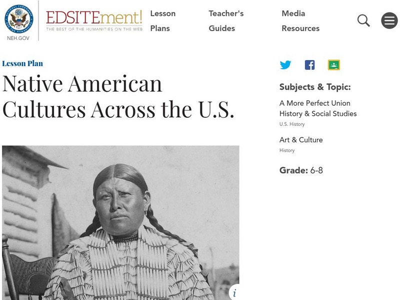
Neh: Edsit Ement: Native American Cultures Across the United States
Students explore different aspects of the cultures of the First Americans in this lesson plan. Stereotypes are often associated with Native Americans through movies and in the context of the Thanksgiving holiday. Specific information and...
Countries and Their Cultures
Countries and Their Cultures: Teton
A page containing information about an Indian tribe known as the Teton who live in South Dakota. Investigate their family life, economy, religion, and history.
Curated OER
Early Settlements in New England and Distribution of the Indian Tribes, 1686
A map of the Dominion of New England (1686), showing the early settlements and the general tribal lands of the Pawtuckets, Massachusetts, Wampanoags, Narragansets, Nipmucks, Pequods, and Mohegans. "New England, a collective name given to...
Nebraska Studies
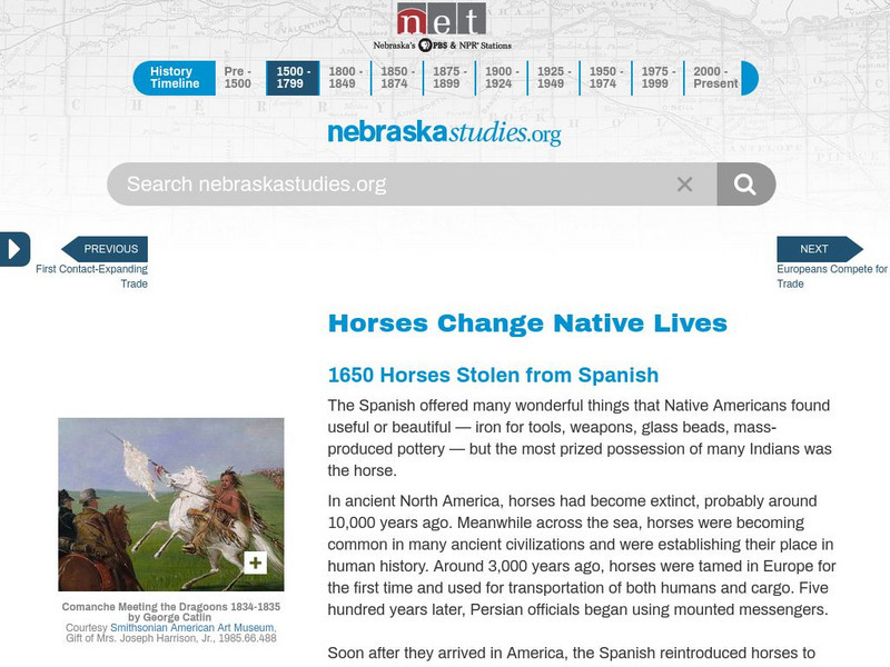
Nebraska Studies: Horses Change Native Lives
Learn how Spain's introduction of horses dramatically impacted the lives of the Native Indians.
Nebraska Studies
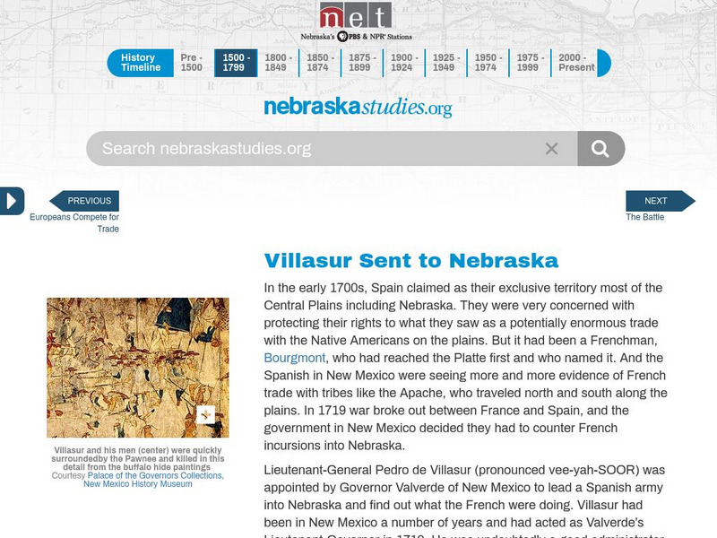
Nebraska Studies: Pedro De Villasur Sent to Nebraska
Concern over the French trading with the Native Indians, the Spanish commissioned Lieutenant-General Villasur to stop them in 1720.
Tom Richey
Tom richey.net: Native American Cultures 1491 1607 [Ppt]
Presents key ideas for examining the cultures of Native American tribes that lived in North America in early colonial times. Discusses the major groups, the way of life of each group, and where they lived.
Curated OER
Educational Technology Clearinghouse: Maps Etc: North America, 1858
A map from 1858 of North America showing the boundaries at the time for Russian America (Alaska), Greenland, British America or New Britain, Canada East and Canada West, the United States, Mexico, Central America, and the West Indies...
Other
The Woodland/ Algonquian Tribes Before 1500 (Map)
A Map of the geographic regions of the various Native American tribes in northeastern North America.
Smithsonian Institution
National Museum of American History: What Can You Make From a Buffalo?
The northern Plains Indians used every part of the buffalo. In this interactive matching game, students will match objects made by Native Americans from the buffalo.
Countries and Their Cultures
Countries and Their Cultures: Metoac
A brief description of the Long Island Indians known as the Metoac on this site. Learn that the Metoac group includes a few tribes that lived in Long Island New York.
Countries and Their Cultures
Countries and Their Cultures: Tonkawa
A website containing information about the Tonkawa tribe which lived in Texas and includes the Cava, Emet, Ervipiame, Mayeye, Sana, Tohaha, Toho, Tusolivi, Ujuiap, Yojuane, and Tonkawa proper.
Countries and Their Cultures
Countries and Their Cultures: Zuni
This reference introduced the Zuni tribe located in New Mexico. Read about their marriage customs, family life, economy, religion and socialization.
Alabama Learning Exchange
Alex: Extra, Extra!! Mary Rowlandson's Captivity Newscast
This lesson plan will be an interdisciplinary lesson plan that involves both English Language Arts and Social Studies (History). The lesson plan will be primarily technology-based and also project-based that will have the young scholars...
Stephen Byrne
History for Kids: Native American Art
History for Kids reference page provides an overview of Native American art which is representative of unique and diverse tribes throughout the Americas prior to Columbus.
Curated OER
Educational Technology Clearinghouse: Maps Etc: French Discoveries, 1600 1762
A map of northeastern North America showing the progress of French discovery in the interior of their claimed territories between 1600 and the French and Indian War (1762). The map is color-coded to show the French possessions and...


