Curated OER
Rivers that Flow from the Continental Divide: The Journey of Two Rivers
Students explore river routes. In this social studies lesson, students trace the route of a river from its source and discuss the Continental Divide. Students draw the route the river takes and name the states it flows through. Students...
Curated OER
How the West Was One: A Layered Book
Students create a layered book about the information they learn about the Western region of the United States. In this Western states lesson plan, students create a book about the land, economy, and culture.
Curated OER
What's Holding Up the Water?
Students read about the history and locate dams in Arizona. In this Arizona dams lesson plan, students write a summary about what they read focusing on word choice, ideas, conventions, and geography content.
Curated OER
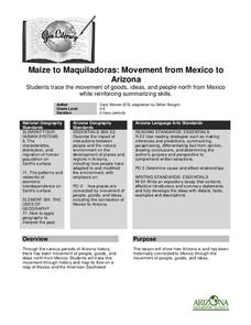
Maize to Maquiladoras: Movement from Mexico to Arizona
Students label maps of Arizona and Mexico of the products that moved from one place to another. In this Arizona and Mexico lesson plan, students also summarize the effects of the movement on life in Arizona.
Curated OER
Agriculture in the Desert
Students explore human migration. In this human migration lesson, students investigate multiple factors contributing to the growth of major Arizona cities. Students discover the processes, patterns, and functions of human settlement.
Curated OER
Maize to Maquiladoras: Movement from Mexico to Arizona
Fourth graders label maps of Arizona and Mexico to show the people, goods, and ideas that have moved between the two places. In this Arizona and Mexico lesson plan, 4th graders summarize the effects of the movement on Arizona life.
Curated OER
A River Through Time
Students explore how construction of a dam on the Gila River affected the lifestyle of Pima Indians. In this social studies lesson, students locate the Gila River and the Coolidge Dam. Students record dates on a timeline and discuss how...
Curated OER
Mapping Roxaboxen
Fourth graders read Roxaboxen and draw a map of the Roxaboxen community. In this language arts and geography lesson, 4th graders use specifications given, adding features to the map as described in the book and creating a legend.
Curated OER
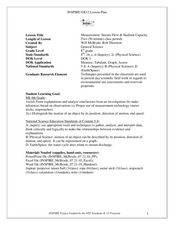
Measurement: Stream Flow & Stadium Capacity
Eighth graders study the scientific fields and how information can be monitored and recorded. In this scientific inquiry instructional activity students view a PowerPoint presentation and complete a hands on activity.
Curated OER
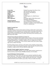
Weather Forecasting: From Then to Now
Eighth graders review the history of weather forecasting. For this earth science lesson, 8th graders identify the different tools used in forecasting weather. They explain why it's important to know the weather.
Curated OER
Electric Field Mapping in 3D
Students create a 3D vector field map of an electric field. In this physics instructional activity, students measure the voltage inside an aquarium with water. They present their findings and map to class..
Curated OER
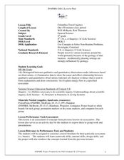
Columbus Travel Agency
Eighth graders research about their chosen ecosystem. In this life science lesson, 8th graders play the role of travel agents and create a travel brochure. They share this in class.
Curated OER
Between The Extremes
Students analyze graphs for specific properties. In this algebra lesson, students solve equations and graph using the TI calculator. They find the different changes that occur in each graph,including maximum and minimum.
Curated OER
How Sharp Is Your Memory?
Students play a memory game as they explore reasoning. In this algebra lesson, students identify concepts using pictures and words. They model real life scenarios using hands on manipulatives.
Curated OER
Using Newsprint as a UV Detector
Students investigate the effects of UV radiation. In this earth science lesson, students explain how the time of day relate to UV abundance on Earth. They determine if weather affects the amount of UV that Earth receives.
Curated OER
Probability: Playing with Fire
Learners use probability to determine how likely it is for each tree in a small forest to catch on fire.
Curated OER
It's in the Garbage
Students analyze how studying garbage relates to methods of archaeology. They examine garbage to determine things about their culture and relate that to prehistoric peoples.
Curated OER
Deforestation
Students identify the different tropical rainforests in the world using a map. In this ecology instructional activity, students describe the different methods of deforestation. They create a memo and present it to class.
Curated OER
McLean Train Yard
Students conduct online research and incorporate graphics and maps into a Powerpoint presentation that details life at the McLean train yard in its heyday.
Curated OER
Japan and Art
Students discuss the art of Japan as it relates to Japanese culture and geography and then create individual postcards reflecting the information learned from the lesson. This lesson includes possible enrichments.
Curated OER
How Long? How Tall?
Seventh graders investigate the parts of the human body and examine the symmetry of body parts like arms and legs. They measure the body parts and take individual height and weight to compare the quantities. Student examine whether the...
Curated OER
Mississippi’s Electricity: From Generation to Consumption
Eighth graders discover how electricity is produced. In this physics lesson plan, 8th graders infer about the future of Mississippi's energy industry. They participate in a Smart Board interactive activity at the end of the lesson plan.
Curated OER
Chemical Bonding
Eighth graders identify the three main types of chemical bonds. In this chemistry lesson, 8th graders draw Lewis dot diagrams of elements and determine the bond formed. They create a model water molecule.
Curated OER
WEATHER SATELLITE PREDICTION PROJECT
Students compile weather satellite data from three satellites for one month, obtain weather reports and data from professionals, then create a document with predicted results.


