Curated OER
Regents High School Examination: Physical Setting Earth Science 2009
Junior geologists address 50 multiple choice questions and 35 short answer questions about the earth system. Plenty of visuals are included for interpretation: diagrams, graphs, maps, photographs, laboratory setups, weather symbols, and...
Curated OER
Weather Forecast
Students explore the vocabulary for making statements about the weather in various cities. They respond with the use of the appropriate interpretive strategies to show the directions in the taget language for placing weather symbols on...
Curated OER
Interpreting Weather Station Symbols
In this science worksheet, students look at the symbols on the map and make interpretations about temperature or other conditions to master the weather knowledge in the four problems.
Curated OER
Weather Reporting
Students locate a weather map on the internet and explain or predict the weather for the following day. Students interpret the information on the weather map and pick the correct clothing to wear for that day. Students chart and graph...
Curated OER
Reading Weather Maps
Fourth graders the symbols that are used on weather maps. They develop five day forecasts based on information they gather from weather maps in the newspaper and on the Internet.
Curated OER
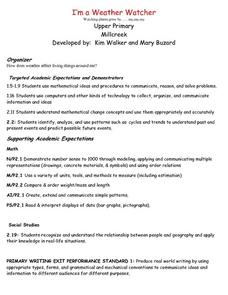
I'm a Weather Watcher Watching plants grow by......my,my,my
Students investigate how weather affects how plants grow. They collect data on weather and plant growth for a week and display the data on a graph. For a culminating experience they design a movie using software that shows plant growth...
Curated OER
The Mysteries of El Nino: How Much do We Really Know?
Seventh graders investigate the causes and effects of El Nino and explore its global impact on weather related occurrences through this series of activities.
Curated OER
Creating Station Models
Students work in groups to interpret weather maps. They use latitude and longitude readings to complete a worksheet together and turn in the worksheet along with the maps and a rubric.
Curated OER
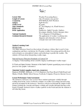
Weather Forecasting Basics
Eighth graders analyze weather diagrams and weather maps. In this earth science instructional activity, 8th graders explain why it is important to know the weather. They complete a handout at the end of the instructional activity.
Curated OER
Weather and Climate
Pupils identify the words plain and climate and discuss what would happen if it never rained. Students identify and interpret the weather in Poland and create a web illustrating various weather patterns. Pupils write a 4-line poem...
Curated OER
Storm Clouds-- Fly over a Late Winter Storm onboard a NASA Earth Observing Satellite
Students study cloud data and weather maps to explore cloud activity. In this cloud data lesson students locate latitude and longitude coordinates and determine cloud cover percentages.
Curated OER
What Should I Wear Today?
Fourth graders examine weather data for Columbus, Ohio using an Internet resource. They complete a two day and a weekly weather charts before discussing the information. After the discussion, they answer questions about the charts...
Alabama Learning Exchange
The Sun and the Earth
Third graders study and diagram the positions of the Earth and sun during the four seasons. They predict weather for cities in the northern and southern hemispheres.
K12 Reader
Meteorologists
Meteorologists and the tools they use are the subject of a reading comprehension instructional activity that asks kids to read the attached article and respond to a series of comprehension questions.
Curated OER
Circle the Earth - Explore Surface Types on a Journey around Earth
Students use CERES percent coverage surface data with a world map in locating landmasses and bodies of water at Earth's Equator.


