Curated OER
Weather Map
Ninth graders utilize several different types of maps to forecast weather conditions specific areas of the country. Air masses, wind, cloud types, fronts, and the pH of the rain is explored in this lesson.
Prince William Network
Migration Math Madness
A great way to incorporate math into life science, this lesson has learners measure migratory routes on a map and calculate the actual distance that shorebirds on the routes would cover. Learners compute the distance covered in both...
Curated OER
Mapping a Temperature Field
Pupils measure and graph temperatures. For this temperature field lesson students use a map to measure and plot field values and construct isolines and interpret the results.
Curated OER
Isolines on a Weather Map
Ninth graders explore weather by analyzing maps. In this temperature activity, 9th graders view black and white weather maps of locations in which the weather changes often. Students identify the isolines used on the maps and utilize the...
Curated OER
Isotherms and Fronts
In this weather activity, students draw in isotherms on a temperature map. Students indicate the location of cold fronts, warm fronts, and stationary fronts. This activity has 2 drawing questions.
Curated OER
Forecasting Weather
In this weather worksheet, students use a weather map to determine which station has the lowest and highest pressure. Then they describe the various types of fronts that can come through a location. Students also explain the difference...
Curated OER
Weather Review
In this weather worksheet, students reviews terms associated with measuring different weather phenomena plus draw examples of different types of fronts on a weather map. This worksheet has 5 true or false, 15 matching, 21 multiple...
Curated OER
Weather Forecasting Basics
Eighth graders analyze weather diagrams and weather maps. In this earth science instructional activity, 8th graders explain why it is important to know the weather. They complete a handout at the end of the instructional activity.
Curated OER
Air Masses & Fronts
Young scholars use a set of maps depicting a front passing through the state to identify two distinct air masses and the frontal boundary. They then deterine whether the front is moving in time and in what direction the front is moving.
Polar Bears International
Top of the World
Learn about polar bears and the Arctic circle with a instructional activity about the countries and conditions of the region. After examining how the area differs from Antarctica, kids explore climates, animals, and geographical position...
Curated OER
Weather Analysis - Lab Activity
Ninth graders perform research in the subject of weather to answer several key questions to increase comprehension of concepts. Students use weather prediction as an application for the research.
Curated OER
Air Masses & Fronts
Students identify two distinct air masses and the frontal boundary and determine whether the front is moving in time and in what direction the front is moving.
Curated OER
Introduction to Drawing Isopleths
Learners draw isopleths based on how many pieces of "confetti snow" land in their cup.
Curated OER
Barnet Atmosphere Adv Word Search Puzzle
In this science and language arts learning exercise, students analyze 30 words in a word bank which pertain to the atmosphere and weather. Students find the words in a word search. The meaning of the title is unclear.
CK-12 Foundation
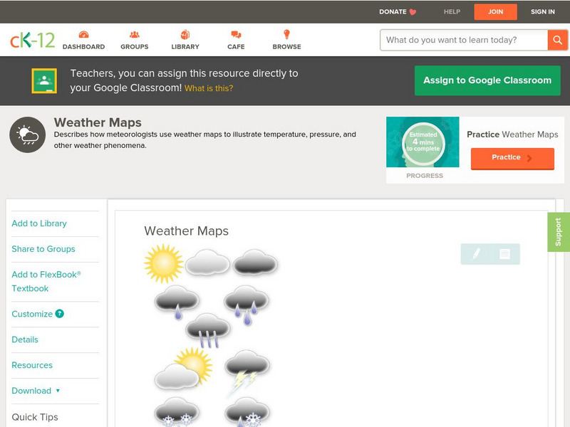
Ck 12: Earth Science: Weather Maps
[Free Registration/Login may be required to access all resource tools.] How meteorologists create and read weather maps.
Georgia State University
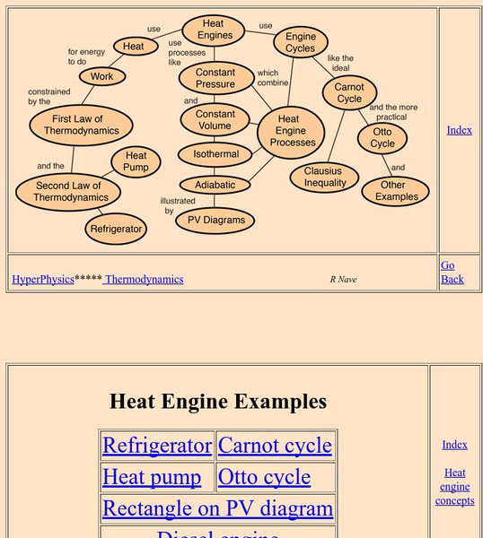
Georgia State University: Hyper Physics: Heat Engine Concepts
An indexing page for the HyperPhysics site. The page contains a concept map of links to a variety of other pages which discuss concepts related to heat engines. All pages contain informative graphics and excellent explanations.


