PBS
Exploring Earthquakes: Earth Foldable
Geology junkies will make a foldable that covers a lot of ground regarding Earth's internal structure, its position in the solar system, and an explanation for its seasons. Templates and a printable page of instructions are included....
Curated OER
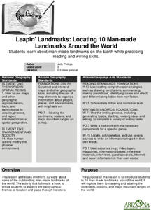
Leapin' Landmarks: Locating 10 man-made landmarks around the world
Third graders engage in a lesson which addresses their curiosity about some of the outstanding people-made landmarks of the world. They explore the geographical themes of location and place through literature.
Polar Trec
Where in the World Is Our Teacher?
Kirk Beckendorf, a middle school teacher, joined researchers at the McMurdo Station in Antarctica to help maintain automatic weather stations. The lesson encourages pupils to track his travels around the region. They connect with the...
Curated OER
A Model of Earth's Atmosphere
Students make a model of the four layers of Earth's atmosphere that represents the characteristics of each layer.
Curated OER
First Nations Contributions
Eleventh graders recognize the contributions made my Indigenous people around the world. In this research skills lesson, 11th graders research native peoples of several countries and create presentations that feature the contributions of...
Curated OER
Giving Students a Little Latitude
Students use a world outline map to locate places using coordinates of latitude and longitude. They answer questions about places based on their knowledge of the map and on their research and make up more questions of this sort for each...
Curated OER
Where in the World Am I?
Learners are introduced to geography skills. They answer questions on a worksheet using the internet and maps. They examine the area of Japan as well.
Curated OER
New Perspectives
Students examine maps that are designed to give different perspectives. They create mental maps that illustrate their own perspectives and those of people from other parts of the world.
ClassFlow
Class Flow: Name the Continents
[Free Registration/Login Required] This flipchart will allow students to label the continents and the oceans on a world map.
SMART Technologies
Smart: World Map
This lesson features a world map with labeled countries, a global map, and an interactive map of the seven continents.


