Curated OER
Journal of Children of the World
Pupils explore the lives of other children. In this comparing and contrasting lesson plan, students complete a KWL chart on children around the world and use the Internet to compare and contrast these children using different categories....
Curated OER
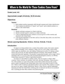
Where in the World Do Those Cookies Come From?
Students discuss exports and imports by discovering where the ingredients come from for making chocolate chip cookies. They take a survey of their favorite cookies and create a bar graph to represent the information.
Curated OER
Finding Your Spot in the World
Students learn the concept of movement by locating their house and the houses of their ancestors.
Curated OER
Spanish-Speaking Countries
Students explore geographic areas. They list as many countries as possible, divide the countries into groups, and label the groups with logical names. As an introduction into Spanish, students memorize all the Spanish-speaking...
Curated OER
Leapin' Landmarks: Locating 10 Man-made Landmarks Around the World
Third graders label continents, oceans, and major mountain ranges on maps and use the maps to write an informational report about landmarks. In this landmarks lesson plan, 3rd graders write about 1 major landmark.
Curated OER
Middle East Related
Eighth graders find a current event related to the Middle East. In this current event lesson students write a brief summary of a new story related to the Middle East. They give their opinion and tell how it affects their life or who it...
Curated OER
Social Studies:
Students identify various types of breads fromother countries and locate them on maps. In small groups, they make story maps of books that mention bread and make books resembling sandwiches. Students have a bread tasting party and...
Curated OER
World Oceans Day in the Classroom
The ocean is a fascinating topic for students to cover.
Curated OER
Maps
Maps, globes, and computer software aid young explorers as they locate state capitols, major cities, geographic features, and attractions for states they are researching. They then use desktop publishing software to create a map to share...
Curated OER
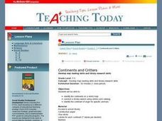
Continents and Critters
Students investigate and identify the continents of the world. They identify and locate the seven continents on a map, and label a coloring page of a world map. Students then conduct research on an assigned continent, and write and...
Curated OER
Geography and World Music
Students are able to demonstrate the ability to identify, contrast and compare the music of different places and regions, and the ability to recognize music as a resource for information about places and regions.
Curated OER
If These Walls Could Talk: Seeing a Culture Through Human Features
Students read Talking Walls and discuss the walls presented and their importance to the culture. For this geography lesson, students locate and label each country/continent discussed in the book on a world map. Students take a walk and...
Curated OER
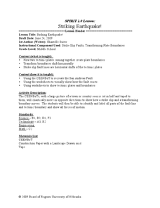
Striking Earthquake!
Students simulate strike slip faults using CEENBoTs. In this earth science lesson, students identify the fault lines and tectonic plates on a world map. They label the different parts of a fault line.
Curated OER
"The Drum"
Second graders read and discuss the folktale "The Drum" from India. They also answer story comprehension questions, complete an adjectives and verb worksheet, and label a map of India. Students sequence events from the story and make...
Curated OER
Geographic Context for War
Students explore the geography of Korea. In this Korean War lesson, students examine maps of the country and label landforms, bodies of water, climate, population centers, and neighboring countries to determine the significance of...
Curated OER
European Climates
Ninth graders study the climate regions of Europe. In this geography skills lesson plan, 9th graders determine how weather and climate are influenced as they research the climate zones of specific locations and write about the ways that...
Curated OER
First Nations Contributions
Eleventh graders recognize the contributions made my Indigenous people around the world. In this research skills lesson, 11th graders research native peoples of several countries and create presentations that feature the contributions of...
Curated OER
We Live in an International Community
Learners locate the different countries from which their clothing originates. Using a blank map, they identify and color in those areas.
Curated OER
Global Economy: A Simple Activity
Students explore the global economy. In this economics lesson, students examine clothing labels in search of the countries the clothing was made in. Students consider the implications of a global economy.
Curated OER
Where Does Our Food Come From?
Fourth graders identify the state or country that a food product came from and locate it on a map. They identify products that are grown in Hawaii and the factors important in the location of economic activities.
Curated OER
Corn Exports Visually
Students study imports and exports and the countries that import the most corn from the U.S. They construct mini paper corn plants and label a map with these plants to represent the amount of corn the U.S. exports to countries around the...
Curated OER
Geography And Chinese Landscape Painting
Fourth graders label the physical features of China on a map and become familiar with
the content of traditional Chinese landscape paintings in this lesson intended for the forth grade classroom.
Curated OER
Where In The World?
Middle schoolers review the proper terms for maps and various geographical features. In groups, they create a topographical map and label all geographic features in a given area. They present this material to the class and answer any...
Curated OER
Where in the World Am I?
Learners are introduced to geography skills. They answer questions on a worksheet using the internet and maps. They examine the area of Japan as well.


