Curated OER
Etc: Maps Etc: Lake Champlain and Lake George, 1919
A road map of New York in the vicinity of Lake Champlain and Lake George from the Official Automobile Blue Book (1919), showing county lines, principal cities and towns, rivers, and is keyed to show the best auto routes, other auto...
Curated OER
Educational Technology Clearinghouse: Maps Etc: Great Lakes Region, 1906
A map from 1906 of the Great Lakes Region, showing major cities and ports, canals (including the Erie Canal), rivers, and steamship routes across the lakes, including routes of the St. Lawrence and Lake Champlain.
Curated OER
Educational Technology Clearinghouse: Maps Etc: The Lake Victoria Region, 1920
A map of the region around Lake Victoria, or Victoria Nyanza, in 1920, showing the northern portion of German East Africa, the eastern portion of Belgian Congo, and all of British East Africa including the Uganda Protectorate. The map...
Curated OER
Educational Technology Clearinghouse: Maps Etc: The Lake of Mexico, 1722
A map from the book 'Voyages de Francois Coreal aux Indes Occidentales’ (Amsterdam, 1722) showing the environs of the Lake of Mexico (Lake Texcoco or Lago Texcoco, sometimes called Tezcuco), including islands and causeways, marshlands,...
Curated OER
Educational Technology Clearinghouse: Maps Etc: Western Part of Lake Erie, 1812
A map of western Lake Erie and Lake St. Claire showing important sites during the War of 1812, including the battleground on the River Thames, Detroit, Brownstown, Fort Malden, Frenchtown, Fort Meigs, and Fort Lower Sandusky (Fort...
Curated OER
Educational Technology Clearinghouse: Maps Etc: Lake Titicaca, 1889
A map of Lake Titicaca from 1889 during the French scientific explorations, showing Charles Weiner's route in the region from 1875 to 1877. This map shows rivers draining into the lake, nearby villages, and archeological sites of the area.
Curated OER
Educational Technology Clearinghouse: Maps Etc: Illinois River System, 1916
A map from 1916 of the Illinois River drainage basin showing the primary and secondary tributaries from Lake Michigan to the Mississippi River.
Curated OER
Etc: Maps Etc: The Mississippi River Route of Hennepin, 1697
A facsimile of a portion of the map created in 1697 describing the exploration and discoveries of Father Louis Hennepin in New France and Along the Mississippi. The map shows the region from the Great Lakes to the Gulf of Mexico along...
Curated OER
Etc: Maps Etc: The Pyramids and the Lake of Inundations, About 2100 Bc
A detail map of the portion of the Nile River near Memphis and Heracleopolis with its numerous pyramids and the Lake of Inundations during the twelfth dynasty, about 2100 BC. The map shows important historical cities and sites of the...
Curated OER
Etc: Niagara River During the War of 1812, 1812 1814
A map of the Niagara River detailing the battle sites, forts, and towns during the War of 1812, including Newark on Lake Ontario, Fort Niagara, Fort George, Youngstown, Lewiston, Queenstown, Lundy's Lane, Manchester, Fort Schlosser,...
Curated OER
Educational Technology Clearinghouse: Maps Etc: Vicinity of Lake George, 1872
Fort Edward was on the site of the present village of Fort Edward, in Washington County, on the east side of Hudson River, and about forty-five miles north from Albany.
Ducksters
Ducksters: Science for Kids: Freshwater Biome
Kids learn about the freshwater aquatic biome. Ecosystems such as rivers, streams, ponds, lakes, wetlands, swamps, and bogs.
ClassFlow
Class Flow: Map Skills Germany
[Free Registration/Login Required] In this lesson map skills are reinforced by identifying physical features in Germany. Mountains, rivers, lakes, and land elevation are discussed. Political maps identify population and cities.
Other
Ozark Mountains
Learn more about the lakes, rivers, caverns, and outdoor activities in the Ozark Mountains.
Other
Alberta Riparian Habitat Management Society: Cows, Fish, Cattledogs and Kids!
Children will learn about riparian areas and their importance in maintaining balanced ecosystems in lands adjoining lakes, streams and rivers, as they play these colourful, interactive games.
Other
American Journeys: Background on the Journey of Jean Nicolet, 1634
A summary of Jean Nicolet's expedition to the western Great Lakes. The information is from an account written by a Jesuit priest who was a friend of Nicolet. Read the primary source by clicking on "Read this Document."
PBS
Pbs Learning Media: Quest: Water Pollution Investigation
Water pollution is the contamination of water resources by harmful wastes or toxins. This type of pollution can be dangerous to animals and plant populations in and around lakes, rivers, polluted groundwater areas or oceans, and can pose...
Travel Document Systems
Tds: Malawi: Geography
See how the Great Rift Valley and Lake Malawi dominate Malawi's geography. Read about the climate, terrain, and population density. Information is from the U.S. State Dept. Background Notes.
Globe Tracks
Travel for Kids: Peru
An excellent site containing exciting things to learn about Peru from a family tourism perspective. Explore things to do in Lima, the Andes, Lake Titicaca, the Amazon, and the North of Peru. Also, contains picks for children's books on...
Other
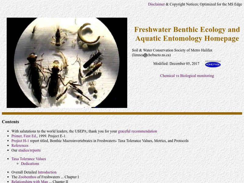
Freshwater Ecology
This is a comprehensive and detailed site providing information on aquatic macroinvertebrates. The emphasis is on biomonitoring of water quality through quantitative assessment of numbers and types of small aquatic organisms.
Polk Brothers Foundation Center for Urban Education at DePaul University
De Paul University: Center for Urban Education: My Father's Miracle [Pdf]
"My Father's Miracle" is a one page, fictional, reading passage about a child who learned that his father was one of the people responsible for reversing the direction of the Chicago River, making it flow to the Mississippi instead of...
Curated OER
University of Texas: Rwanda: Political Map
A small political map of Rwanda showing the major cities, rivers, and neighboring countries. Map is from the Perry Castaneda Collection.
US Geological Survey
Usgs: Water Science for Schools Water Science Storytime!
This U.S. Geological Survey website features a fictious town, Dryville, and uses it to illustrate every aspect of water management that you might encounter. Click Home to access the site in Spanish.
US Geological Survey
U.s. Geological Survey: Groundwater Information by Topic
A massive amount of information about groundwater. Topics covered include groundwater basics, humans and groundwater, groundwater quality, and its place in the water cycle. Includes true-and-false quiz and a Q&A section, as well as a...
Other popular searches
- Rivers and Lakes
- About Rivers and Lakes
- Rivers and Lakes Geography
- Rivers Lakes Streams
- Rivers, Lakes, Streams
- Usa Lakes and Rivers


