CK-12 Foundation
Ck 12: Second Grade Science: A World of Ice and Water
[Free Registration/Login may be required to access all resource tools.] Covers different bodies of water, including rivers, lakes, and oceans.
World Wildlife Fund for Nature
Wwf: Our Earth: Ecoregions: Habitats: Freshwater Wetlands
An introduction and overview of freshwater wetland habitats.
Sophia Learning
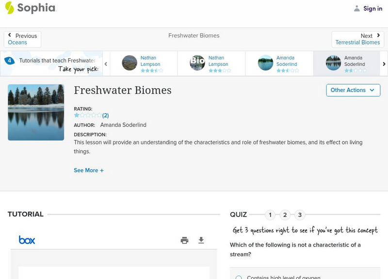
Sophia: Freshwater Biomes
Listen to this podcast discussing the similar characteristics of the freshwater biomes of the world. [0:47]
Sophia Learning
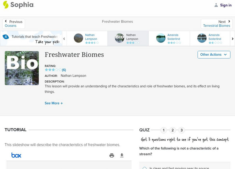
Sophia: Freshwater Biomes
This presentation provides information about the characteristics of several different freshwater ecosystems.
Sophia Learning
Sophia: Freshwater Biomes
This colorful slideshow provides a nice introduction to the freshwater biomes around the world.
Geographic
Map of Canada
Basic map of Canada. Includes major cities, coastlines, major lakes and rivers, and bays.
InterKnowledge Corp.
Geographica.com: Adventure in Argentina
This site from Geographica.com contains information on a variety of parks in Argentina. A description of each follows the name of the park.
Other
Alberta Riparian Habitat Management Society: Riparian Soils [Pdf]
Riparian soils occur along the edges of a lake, stream or river. Pictures and diagrams in this fact sheet explain the importance of and composition of riparian soils.
EL Education
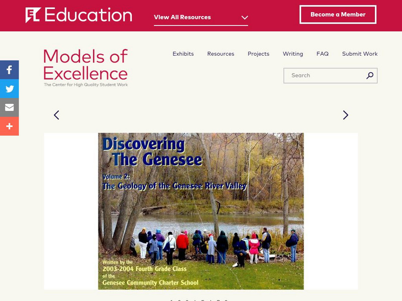
El Education: Discovering the Genesee Volume 2
The Geology of the Genesee River Valley is the second volume of a series produced by 4th grade students at the Genesee Community Charter School while studying geology, physical fitness, and artist composition. The Students spent three...
Curated OER
Montreal and the Junction of the St. Lawrence and Ottawa Rivers, 1909
A map from 1909 of Montreal at the confluence of the Ottawa and St. Lawrence Rivers and vicinity, showing the city, railroads, the Island of Montreal, Isle of Jesus, Perrot Island, Riviere des Prairies, Lake St. Francis and Lake St....
Curated OER
Unesco: Kazakhstan: Saryarka Steppe and Lakes of Northern Kazakhstan
Saryarka - Steppe and Lakes of Northern Kazakhstan comprises two protected areas: Naurzum State Nature Reserve and Korgalzhyn State Nature Reserve totalling 450,344 ha. It features wetlands of outstanding importance for migratory water...
Curated OER
Mountains, Plains, Rivers, Isothermal Lines of the United States, 1873
A map from 1873 of the United States showing the physical features of mountain systems, plateaus, basins, plains, rivers, lakes, and coastal features, with elevations given for prominent peaks given in feet above sea level. The map is...
Curated OER
Photograph: Hudson's Bay Company Post, Dog Head Point, Lake Winnipeg, 1884
This entry from the National Library of Canada's presentation on Canadian Confederation, looks at the 1870 inclusion of Manitoba. Built from the North-Western Territory, the province was founded by Metis, Francophones from Lower Canada,...
US Geological Survey
Usgs: Earth's Water Surface Water
This site has everything you might want to know about surface water and things you probably didn't even imagine! Click Home to access the site in Spanish.
The History Place
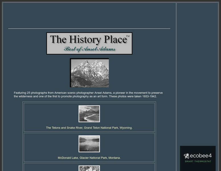
The History Place: Best of Ansel Adams
Here at "The History Place" is an online exhibit of 25 black and white photographs by Ansel Adams. A very interesting place to view his best work, and worth checking out.
Science Education Resource Center at Carleton College
Serc: Investigating Water Quality Through Quantative and Qualitative Analysis
By looking at the bottom dwelling macroinvertebrates, students will investigate water quality and habitat quality in this field lab. Students will record the number of creatures found at the bottom of a pond, lake, ditch, stream or river...
TeachEngineering
Teach Engineering: Would You Drink That?
This activity focuses on getting students to think about bacteria, water quality and water treatment processes. Students develop and test their hypotheses about the "cleanliness" of three water samples prepared by the teacher. Then they...
Lonely Planet
Lonely planet.com: Color Map of Nicaragua
This site has a great full color map of Nicaragua complete with cities, rivers and lakes detailed. Or you can choose the "zoom out" feature and see all of Central America and the Caribbean.
TeachEngineering
Teach Engineering: All About Water!
Students learn about the differences between types of water (surface and ground), as well as the differences between streams, rivers and lakes. Then, they learn about dissolved organic matter (DOM), and the role it plays in identifying...
Curated OER
University of Texas: Zambia: Relief Map
A relief map of Zambia showing the mountainous regions, rivers, lakes, and swamps. Clicking on the map will enlarge it. From the Perry Castaneda Collection.
Curated OER
Educational Technology Clearinghouse: Maps Etc: Province of Quebec, 1922
A map from 1922 of the province of Quebec, showing the more populous region around the St. Lawrence River from Montreal to Quebec and north to the mouth of the river into the Gulf of St. Lawrence. The map shows major cities and towns,...
Curated OER
Educational Technology Clearinghouse: Maps Etc: Province of Quebec, 1909
A map from 1909 of the province of Quebec, showing the more populous region around the St. Lawrence River from Montreal to Quebec and north to the mouth of the river into the Gulf of St. Lawrence. The map shows major cities and towns,...
Curated OER
Educational Technology Clearinghouse: Maps Etc: Province of Quebec, 1912
A map from 1912 of the province of Quebec, showing the more populous region around the St. Lawrence River from Montreal to Quebec and north to the mouth of the river into the Gulf of St. Lawrence. The map shows county boundaries, major...
Curated OER
Educational Technology Clearinghouse: Maps Etc: Province of Quebec, 1914
A map from 1914 of the province of Quebec, showing the more populous region around the St. Lawrence River from Montreal to Quebec and north to the mouth of the river into the Gulf of St. Lawrence. The map shows county boundaries, major...
Other popular searches
- Rivers and Lakes
- About Rivers and Lakes
- Rivers and Lakes Geography
- Rivers Lakes Streams
- Rivers, Lakes, Streams
- Usa Lakes and Rivers


