eSchool Today
E School Today: Your Cool Facts and Tips on Wind
Learn all about wind, what it is, words used to describe wind, the different types, the coriolis effect, different types of breezes, and how wind is measured.
University of Illinois
University of Illinois Urbana Champaign: Forces and Winds
What causes wind? How does wind affect our weather? This website is neatly organized into topics about pressure, gradient force, Coriolis force, geostrophic wind, gradient wind, friction, boundary layer wind, and sea and land breezes....
Encyclopedia of Earth
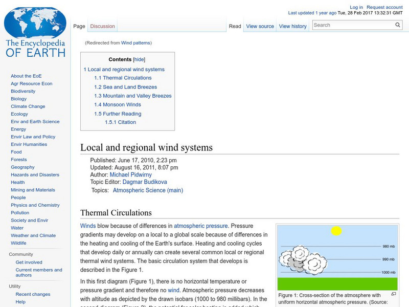
Encyclopedia of Earth: Local and Regional Wind Systems
Read about regional and local wind systems, including information on changes in atmospheric pressure, thermal energy in the atmosphere, sea and land breezes, mountain and valley breezes, and monsoon winds.
Alabama Learning Exchange
Alex: Just Breezy
In this lesson, young scholars will learn about sea breezes and land breezes. They will complete demonstrations and work in groups as they investigate how air is affected by the surfaces below it. This lesson plan was created as a result...
Weather Wiz Kids
Weather Wiz Kids: Wind
Wind is air in motion. It is produced by the uneven heating of the earth's surface by the sun. Since the earth's surface is made of various land and water formations, it absorbs the sun's radiation unevenly. Two factors are necessary to...
Curated OER
Educational Technology Clearinghouse: Maps Etc: Winter Monsoon in India, 1910
A map from 1910 of the Indian subcontinent and the Central Asia region showing the typical rainfall distribution patterns during the winter monsoons, keyed to show areas of rainfall ranging from very light to heavy rainfall. The map...
Curated OER
Educational Technology Clearinghouse: Maps Etc: Summer Monsoon in India, 1910
A map from 1910 of the Indian subcontinent and the Central Asia region showing the typical rainfall distribution patterns during the summer monsoons, keyed to show areas of rainfall ranging from very light to, according to this text, the...


