Curated OER
Reading Comprehension/history: George Washington
In this George Washington activity worksheet, students read a one page information sheet about George Washington. Students put 10 events from his life in correct order. Then students answer 4 critical thinking questions.
Curated OER
Survey This!
Learners examine biological information about George Washington focusing on his love of surveying. They explore cartography and field of surveying. They write a letter and make a map of Virginia.
Curated OER
Agriculture: Oklahoma's Legacy
Students explore the history of Oklahoma agriculture. They listen to the story "The Story of Oklahoma Agriculture." They are then divided into groups where they act out one or more of the events in the story. Students draw pictures ot...
Curated OER
Agriculture: Oklahoma's Legacy
Students continue exploring the history of Oklahoma Agriculture in this lesson. They trace several historical migrations to the state of Oklahoma. They simulate the customs and conditions of a chosen migration. Vocabulary and resource...
Curated OER
Remote Sensing
Ninth graders participate in a variety of activities designed to reinforce the concept of light and the electromagnetic spectrum. They research and analyze data from remotely sensed images. They present their findings in a PowerPoint...
Curated OER
Topo Map Mania!
Seventh graders describe the major features of maps and compasses. They read a topographical map. They take a bearing using a compass. They practice using scales on a map.
Curated OER
Areeas of Parallelograms and Triangles
Twelfth graders are able to deduce the area of polygons by using several methods such as coordinate method. They are able to apply the area of polygons to real life situations. Students apply the Pythagorean Theorem in problem solving...
Curated OER
Thomas Jefferson
For this American history comprehension worksheet, 6th graders read a selection on Thomas Jefferson and answer 16 short answer comprehension question.
Curated OER
Establishment of Plainfield
Eighth graders analyze documents and maps of Plainfield, CT from different time periods, then, working in a small group, create a map for a giventime. In this Plainfield lesson, 8th graders read primary and secondary sources...
Curated OER
Lawson's Many Roles
Students examine the life of John Lawson and his many roles he took on during his life. Using their text, they discover the area in which he traveled and lived. They write an essay about his movements and identifying his contacts in...
Curated OER
John Lawson's Emigration Impact: Review Writing and Answer Questions
Middle schoolers review the writings of John Lawson. Using his writings, they read comments about them to determine how his writings might have affected emigration to America. They answer discussion questions and share their answers...
Smithsonian Institution
National Portrait Gallery: For Lands' Sake: George Washington as Land Surveyor
This lesson plan invites the students to explore land surveying in the 18th century. Read an 18th-century land survey and decipher what is actually being said.
Other
Lunar and Planetary Institute: The Surveyor Program
A good site about the Surveyor missions to the moon, which includes findings from the experiments that were aboard the lander.
Other
Land Surveyor Reference Page
This vocational website for land surveyors includes links to state rules, professional organizations and publications, meetings and conventions, and other resources that students interested in this career can reference.
Library of Virginia
Virginia Memory: Land Survey by George Washington
What was one of George Washington's first jobs? American history tends to focus on George Washington as a leader of the Continental army during the Revolution, and as our nation's first president. Less emphasis has been devoted to...
Careers New Zealand
Careers Nz: Surveyor
This KiwiCareers site contains information on becoming a surveyor in New Zealand. While some of the information is specific to New Zealand, most of it is uniform to the career.
Texas Instruments
Texas Instruments: Real Life Real World Activity Surveyor
Surveyors describe land parcels with distance and angle measurements, often given as compass headings. Once the boundaries of the land parcel are described, the surveyor can calculate the area of the land. This activity uses Cabri Jr....
TeachEngineering
Teach Engineering: Fence That Farmland!
Students develop and solidify their understanding of the concept of perimeter as they engage in a portion of the civil engineering task of land surveying, using the technology of a LEGO MINDSTORMS NXT robot to automate this task.
NASA
Nasa Star Child: Probes to Mars (Level 2)
This site has a description of the different probes to pass by and land on Mars. Glossary, graphics, and printable version are also included.
NASA
Nasa: Mars Odyssey
Within the rocky landscape of Mars you will find the Mariner Valley. This expansive landform is as deep as the Grand Canyon and encompasses an area as wide as the distance between New York and Los Angeles.
Curated OER
Educational Technology Clearinghouse: Clip Art Etc: Lachlin M'intosh
(1727--) Land surveyor who lead an expedition to the West against the Indians
Fourmilab Switzerland
John Walker: Named Lunar Formations
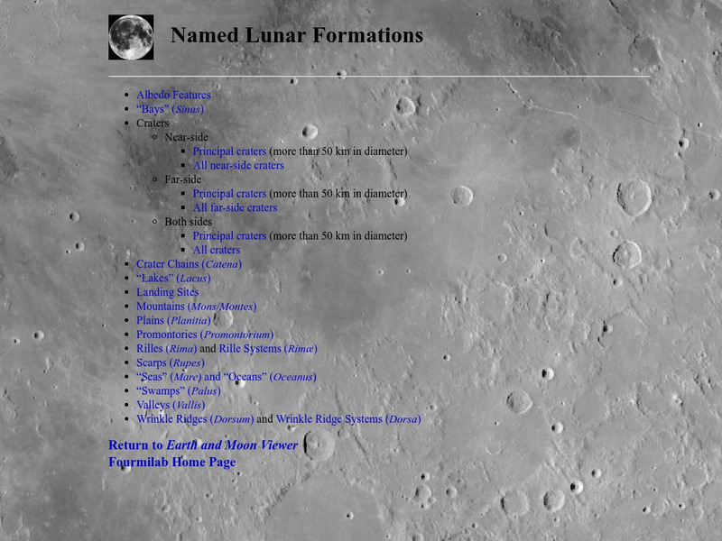
This atlas of the Lunar surface features lists all named features. Click on a name and see an image of that item, or at least an image of the Moon centered on that item.
Curated OER
Etc: Boundary Dispute Between Md and Pa, 1681 1767
A map showing the boundary dispute between the British colonies of Pennsylvania, Maryland, and Delaware between 1681 and 1767. The map shows the lands in dispute, as English King Charles II paid his debt to William Penn by issuing him a...


