NOAA
Calling All Explorers
Let's get moving! The second installment of a 2-part series of six adventures helps learners take part in individual explorations by sea and by land. After navigating the waters in an informative WebQuest, groups create and hide their...
Curated OER
Cell Structure and Function
Students discuss scientific advances brought about by the Mars Surveyor Space Program which impact on daily life, identify laboratory apparatus like microscopes, slides and coverslips, and use the microscopes to view cells and organisms.
Curated OER
Good Vibrations Remote Sensing data Collection: Thermal Emission Spectrometer
The Mars Global Surveyor spent two years creating a mineral map of the planet Mars using thermal emission spectrometry. To help young astronomers understand this remote sensing instrument, have them simulate how data is collected and...
University of Wisconsin
Follow the Drop
Young surveyors look for patterns in water flow around campus. Using a map of the school (that you will need to create), they mark the direction of the path of water. They also perform calculations for the volume that becomes runoff. The...
Curated OER
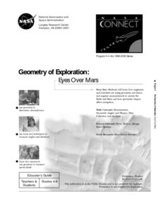
Geometry of Exploration: Eyes Over Mars
Students research how engineers and scientists generate linear and angular measurements with geometry to survey the Earth and Mars. They assess how geometric shapes affect navigation. A surveyor comes to the classroom and explains how he...
Curated OER
Navigating by the Numbers
Students observe how math is important in navigation and engineering. They study how surveyors use math and science to calcute, count, measure, label, and indicate distances on a map. They estimate specific distances.
Curated OER
MAPPING THE TOPOGRAPHY OF UNKNOWN SURFACES
Students describe in words and graphic displays the elevation or depression profile of sections of Mars' Olympus Mons and/or Valles Marineris. They explain how orbiting spacecraft build up global maps one data slice at a time.
Curated OER
Where Next?
Young scholars read an article explaining NASA's possible Mars landing sites. They use the Internet to research Mars and the Module. They are able to submit their own proposals for a landing site after researching the planet.
Curated OER
How Many Hats Does a Farmer Wear
In this farmer instructional activity, students make a spinning wheel to describe the jobs of a farmer. Students create 1 wheel with 8 different jobs for a farmer.
Curated OER
Agriculture: Oklahoma's Legacy
Sixth graders explore agriculture as it relates to crops over the course of a series of historical events. They read and create a timeline of the 50-year increments that depict important cause and effect events. Students then use...
Curated OER
Remote Sensing
Ninth graders participate in a variety of activities designed to reinforce the concept of light and the electromagnetic spectrum. They research and analyze data from remotely sensed images. They present their findings in a PowerPoint...
Curated OER
Topo Map Mania!
Seventh graders describe the major features of maps and compasses. They read a topographical map. They take a bearing using a compass. They practice using scales on a map.
Other
Lunar and Planetary Institute: The Surveyor Program
A good site about the Surveyor missions to the moon, which includes findings from the experiments that were aboard the lander.
TeachEngineering
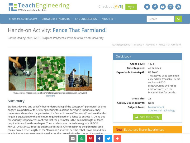
Teach Engineering: Fence That Farmland!
Students develop and solidify their understanding of the concept of perimeter as they engage in a portion of the civil engineering task of land surveying, using the technology of a LEGO MINDSTORMS NXT robot to automate this task.
NASA
Nasa Star Child: Probes to Mars (Level 2)
This site has a description of the different probes to pass by and land on Mars. Glossary, graphics, and printable version are also included.
NASA
Nasa: Mars Odyssey
Within the rocky landscape of Mars you will find the Mariner Valley. This expansive landform is as deep as the Grand Canyon and encompasses an area as wide as the distance between New York and Los Angeles.
Fourmilab Switzerland
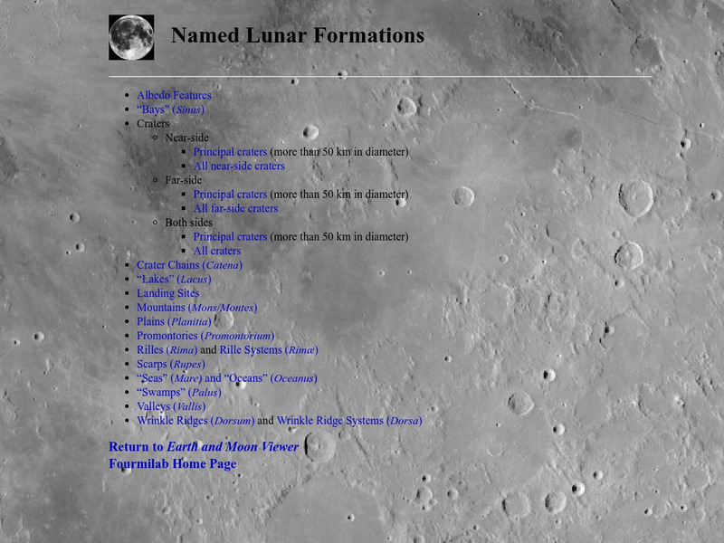
John Walker: Named Lunar Formations
This atlas of the Lunar surface features lists all named features. Click on a name and see an image of that item, or at least an image of the Moon centered on that item.


