Curated OER
Geography Booklet
Sixth graders explore geography terms. Students use resources to find real examples of landforms in the world. They create a map showing the landform. students label the surrounding features, countries and states. Students use each...
Curated OER
Landscapes
Learners explore landforms and landscapes. They demonstrate an appreciation for and examine how to recognize the attributes of landforms and landscapes. Students create a landscape and reflect on their painting.
Curated OER
Tall as a Mountain, Flat as a Plain
Students examine pictures of various landforms before placing them on a chart under the appropriate label.They sing songs about landforms to the tune of "She'll Be Comin' 'Round the Mountain." Next, they use non-edible baker's dough to...
Curated OER
Earth's Land and Water
Learners describe physical characteristics of bodies of water and landforms. For this land and water lesson plan, students model land and water with modeling clay and also discuss why people live near bodies of water.
Curated OER
Gliding Glaciers
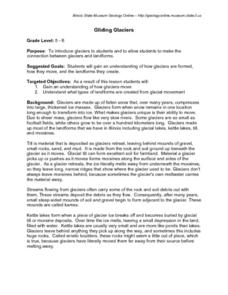
Students are introduced to the concept of glaciers. They discover how glaciers move and what types of landforms are formed by glaciers.
Curated OER
Rock Cycle
Third graders identify various types of landforms of the United States. They discuss earth movements that produce geologic structures and landforms and define cycle as it relates to rocks and soil. They demonstrate the processes forming...
Curated OER
Virginia Geographic Regions
Third graders observe the five geographic regions of Virginia which have distinctive characteristics based on their landforms and bodies of water. They then describe the types of landforms and bodies of water in the region where they live.
Curated OER
What is a Karst
Students investigate landforms by holding a class experiment. In this topography lesson, students define the word "karst" and discover why sinkholes are created on the surface of the Earth by completing worksheets. Students create a...
Curated OER
Pass the Plate
Students define constructive forces. They describe how landforms are created as a result of constructive forces. Students recognize active volcano areas in the United States. They demonstrate an understanding of Panagea.
Curated OER
Soil Composition: Then and Now
Students identify the location of their school from a 1926 digitized Soil Sample map. Using remaining landforms, they determine the type of soil identified during that time, and compare it to the soil currently found near the school.
Alabama Learning Exchange
Forces that Change the Land
Students conduct Internet research find information about the following landforms: mountains, canyons, and valleys. They create travel brochures of their findings.
Curated OER
Discovering the Local Community
Third graders create a mini-atlas of the human and physical characteristics of their local community, which includes landforms, climate, vegetation, population, and economics. They use nonfiction map-related resources to obtain ...
Curated OER
Rivers, Maps, and Math
Middle schoolers use maps to locate and label the major rivers of North and South America. Using the internet, they identify forests, grasslands, mountain ranges and other landforms on the continents as well. They compare and contrast...
Curated OER
Mexico Geography
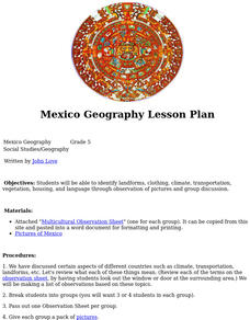
Fifth graders identify landforms, clothing, climate, transportation, vegetation, housing, and language through observation of pictures and group discussion.
Curated OER
Earth on the Earth
Fourth graders plot points on a graph and transfer those coordinates onto a large scale model resulting in an outline of the Western Hemisphere. They identify the major geographical landforms of the Western Hemisphere.
Curated OER
Create a Travel Brochure
Young scholars determine how geography affects how people live, work and play. They identify the different landforms in the three regions of Peru and create a travel brochure highlighting Peru's attractions.
Curated OER
Forces of Change
Second graders discuss various ways in which landforms change over time. They, in groups, research and create a reference book about landform change including tsunamis, earthquakes, weathering, erosion and volcanic eruptions.
Curated OER
The Magic School Bus Rocks and Rolls
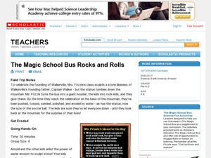
Students participate in a science experiment to show them the power that water erosion has to sculpt stone. They explore how running water moves earth and creates new landforms.
Curated OER
History of the Earth
Students work together in groups to research the characteristics of the Mesozoic Era. Using various sources, they must include information about climate, landforms, plants and animals found during this time period. They create a...
Curated OER
Island formation
Students explain what an island is, and distinguish islands from similar landforms. They compare and contrast the different ways in which islands are formed.
Curated OER
Virtual Field Trip
Fifth graders are introduced to the concepts of weathering and erosion. In groups, they rotate between different stations to discover how each process effects different landforms. To end the lesson plan, they discuss each change in the...
Curated OER
Playground Changes
Students develop both writing and artistic skills as they document changes in their school environment. They observe how the environment of their school playground changes throughout the year by drawing and describing plants, animals,...
Curated OER
Mapping Deep-Sea Habitat
Students create a two-dimensional topographic map and a 3-D model of landforms. In this creative lesson students create 2 and 3-D objects and learn how to interpret the data from these things.
Curated OER
Gilligan's Island
Students investigate topographical maps and match actual landforms to them. In this topographical maps lesson students create "Gilligan's Island" to scale then answer questions about it such as what the highest elevations is and what...
Other popular searches
- Landforms and Water Forms
- Canada Geography (Landforms)
- Earths Landforms
- Landforms Lesson Plans
- Landforms of Colombia
- Ocean Floor Landforms
- Definitions of Landforms
- Different Landforms
- Canada Geography Landforms
- Google Earth Landforms
- Geographic Landforms
- Landforms on Neptune


