Curated OER
Crater Creation
Students examine the Oregon state quarter and discuss how Crater Lake was formed-geologically and according to Native American legend. They practice making predictions and identifying the beginning, middle, and end of a story.
Curated OER
Watersheds:Stream Channels And Post-fire Stream Flows
Students draw cross sections of a stream channel from field data. In the field, using a GPS, they determine the depth of a stream channel and use a spreadsheet to graph the stream channel.
Indian Land Tenure Foundation
Relationships to Places
Young historians take a look at how the Indian tribes of California promoted a mindful relationship between people and the land. They begin to understand how the Indians were champions of conservation, and at preserving the natural...
University of Miami
What is it? Weathering, Erosion, or Deposition?
Just as rocks move through the rock cycle, your giddy geologists will move descriptions around until they are all in the correct category. After cutting out several types of rock movement, learners determine whether the action is...
Curated OER
Chinese Landscapes
Students explain some of the topographical features of China's landscape. They view a Chinese landscape and discuss their view of the harmony between man and nature, then create their own karst mountain scene.
Curated OER
Archaeological Soils
Students evaluate how archaeologists use soils to interpret sites and determine components of a soil sample.
Curated OER
Weathering and Erosion
Students conduct two experiments. In this weathering and erosion lesson, students identify the different ways that weathering occurs, name the natural elements of weather and explain the process of erosion. Students watch a PowerPoint on...
Curated OER
Erosion
Pupils study various types of erosion. The purpose of these activities is to increase students awareness to the point where they can make intelligent decisions on proper land use.
Curated OER
A Rocky Situation
Second graders conduct experiments with rocks to observe weathering. They read books, examine websites and watch a video to examine how rocks break down into soil.
Curated OER
Landform Dictionary
Third graders use a word processing program to create a working dictionary, including definitions and pictures, of physical land forms used in the study of different regions of the world.
Gulf of Maine Research Institute
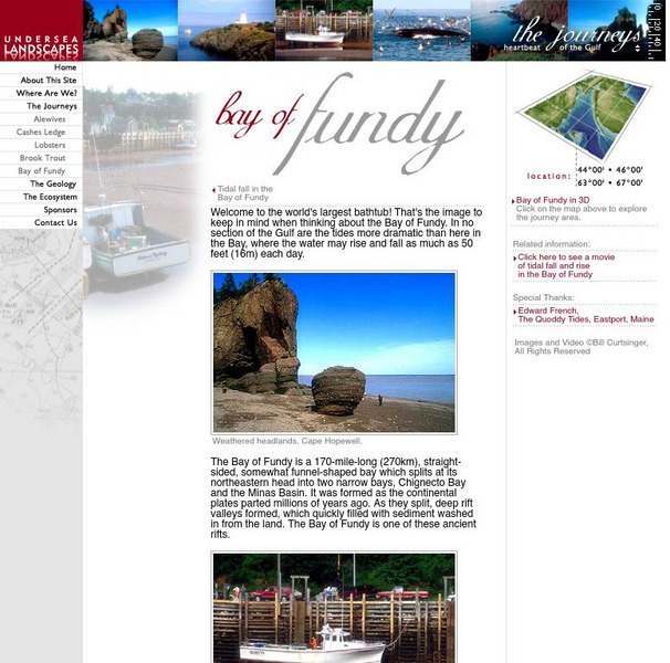
Gulf of Maine Research Institute: Undersea Landscapes: Bay of Fundy
Use this site to learn more about bays by discovering the Bay of Fundy. Read about this interesting place and view pictures of this beautiful bay.
Indiana University
Indiana Univ. Bloomington: Geo Notes: Standing Rocks: Remnants of Erosion [Pdf]
Explains what standing rocks are, how they are formed by erosion, and gives the names of some well-known ones in Indiana.


![Indiana Univ. Bloomington: Geo Notes: Standing Rocks: Remnants of Erosion [Pdf] Handout Indiana Univ. Bloomington: Geo Notes: Standing Rocks: Remnants of Erosion [Pdf] Handout](https://d15y2dacu3jp90.cloudfront.net/images/attachment_defaults/resource/large/FPO-knovation.png)