Read Works
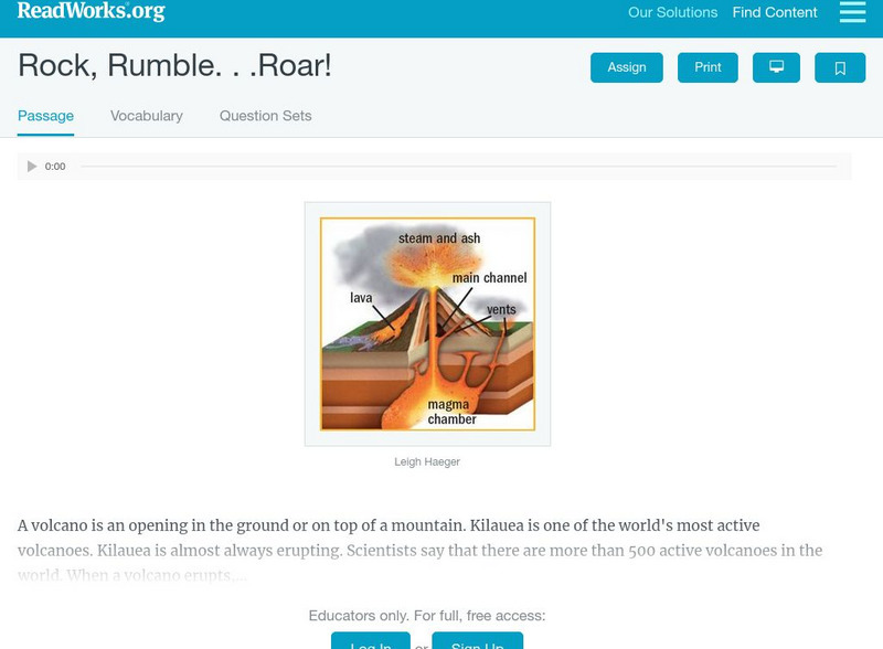
Read Works: Rock, Rumble
[Free Registration/Login Required] An informational text explaining what causes volcanoes to erupt. A question sheet is available to help students build skills in reading comprehension.
PBS
Pbs Learning Media: Volcanic Features
This interactive resource adapted from the National Park Service illustrates the variety of landforms and features created by volcanoes. Featured are calderas, craters, fumaroles and other geothermal features, igneous rocks, lava flows,...
PBS
Pbs Learning Media: Explosion
Video writing prompt where students are asked to explain how lava is involved in the rock cycle. [0:32]
Annenberg Foundation
Annenberg Learner: Volcanoes Interactives
A full-featured investigation of volcanoes that answers questions about our ability to predict eruptions. Site begins with a review of the fundamentals (defines lava, magma, and related terms and describes how volcanoes form) and then...
Scholastic
Scholastic: Study Jams! Science: Landforms, Rocks & Minerals: Volcanoes
A video and a short multiple-choice quiz on the topic of volcanoes.
TeachEngineering
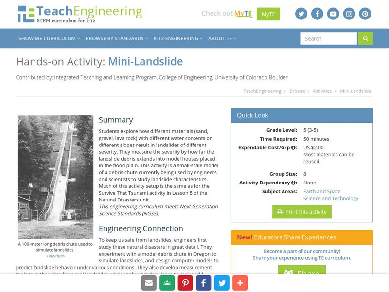
Teach Engineering: Mini Landslide
Students explore how different materials (sand, gravel, lava rock) with different water contents on different slopes result in landslides of different severity. They measure the severity by how far the landslide debris extends into model...
Curated OER
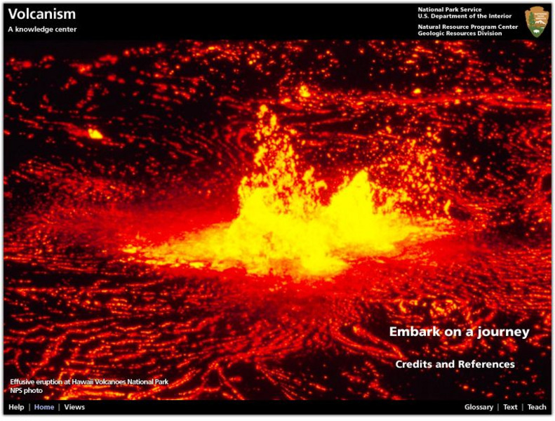
National Park Service: Explore Nature: Views: Volcanism: Embark on a Journey
A journey into the depths of a volcano teaches students about volcanic rocks, eruptions, features, and locations. Also find out how volcanologists monitor activity and conduct scientific research on eruptions.
PBS
Pbs Learning Media: Volcanism
Volcanoes are one of the most dynamic, powerful, and visible forces on Earth. This interactive resource adapted from the National Park Service uses images to describe different types and parts of volcanoes, volcanic rocks, magma, and...
Annenberg Foundation
Annenberg Learner: Volcanoes: Can We Predict Volcanic Eruption
Wonderful presentation on volcanoes! Why do volcanoes erupt? How do they erupt? What happens to the land? Can volcano eruptions be predicted? Find the answers by clicking on this resource!
Annenberg Foundation
Annenberg Learner: Essential Science for Teachers: Earth and Space 3
Visit an active volcano site to find out the connection between the movement of the Earth's plates and the processes deep within the Earth's interior. [58:23]
Australian Museum
Australian Museum: Structure of Volcanoes
A comprehensive site covering everything from volcanic structures to pyroclastic materials. View pictures of major volcanic landforms, and volcanic rocks.
Curated OER
Unesco: Korea: Jeju Volcanic Island and Lava Tubes
Jeju Volcanic Island and Lava Tubes together comprise three sites that make up 18,846 ha. It includes Geomunoreum, regarded as the finest lava tube system of caves anywhere, with its multicoloured carbonate roofs and floors, and...
Other
Puna Ridge: Voyage to Puna Ridge
On January 3, 1983, fountains of lava erupted from a fissure on Hawaii's Kilauea volcano, sending rivers of molten rock flowing towards the sea. Nearly 16 years later, the eruption continues with no sign of letting up. This site provides...
Curated OER
Educational Technology Clearinghouse: Maps Etc: Denver Basin, 1911
A geologic map of a section of the Colorado Front Range near Denver and Golden showing the structure and topography of the common border between the Great Plains and Southern Rockies. The map is keyed to show rock types, formations, and...
Curated OER
Etc: Maps Etc: Drainage on the Laurentian Plateau, 1911
A map from 1911 of a portion of the Laurentian Plateau region of North America showing the drainage and lake network west of Lake Nipigon. The map shows the division line for waters flowing to the Albany and the Winnipeg river systems,...
Curated OER
Web Gallery of Art: Appenine
An image of "Appenine", created by Giambologna during the 1570's (Rock, lava, brick, etc., height 10 m).


