Enchanted Learning
Enchanted Learning: Lewis and Clark, American Explorers
A good, brief biography of Lewis and Clark, and a good description of their explorations. Contains a printable map and a cloze (fill in the blank) activity.
Discovering Lewis & Clark
Discovering Lewis & Clark: Mrc Map of the Big Bend (1880S)
Presents the Missouri River Commission's map of the Big Bend from the 1880s.
Read Works
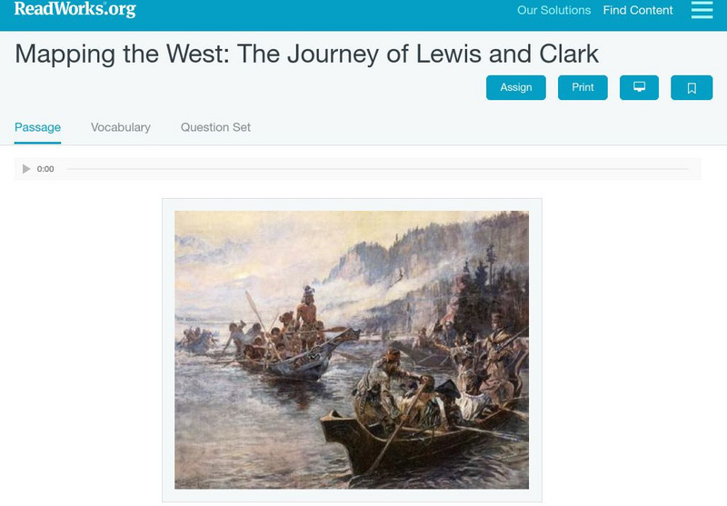
Read Works: Mapping the West: The Journey of Lewis and Clark
[Free Registration/Login Required] An informational text about Lewis and Clark exploring the Louisiana Purchase. A question sheet is available to help students build skills in reading comprehension.
PBS
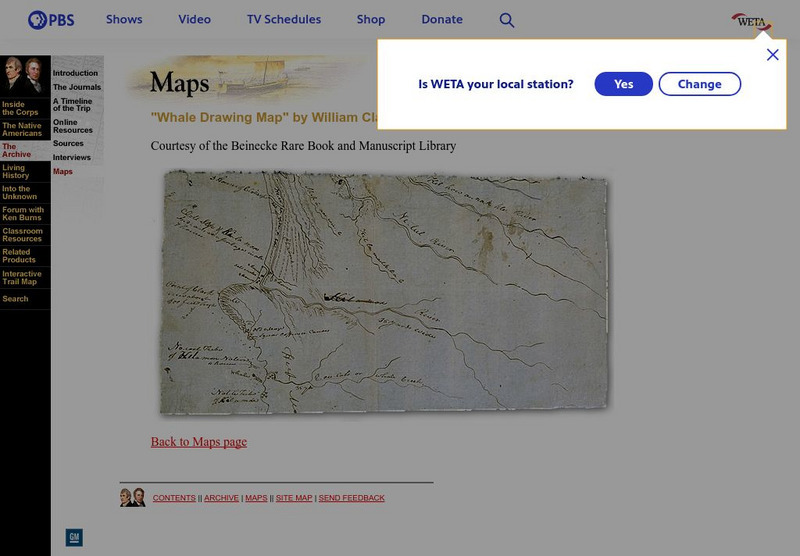
Pbs: Lewis and Clark: "Whale Drawing Map" by William Clark
See this map drawn by William Clark of where the men from the Corps of Discovery found the whale which the Tillamook Indians told them about. From PBS.
Pennsylvania Historical and Museum Comission
Explore Pa History: Lewis and Clark in Pennsylvania
Discover the role Lewis and Clark played in history of Pennsylvania in this detailed account. Contained within this site are links to video, maps, and pictorial images of this era.
Smithsonian Institution
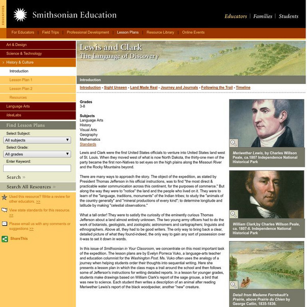
Smithsonian Education: Lewis and Clark: The Language of Discovery
Lewis and Clark discovered many new animals and plants, and they mapped areas unknown. Young students will draw pictures of some of the discovered animals and write about them; older students will mimic the mapping expedition around...
Other
Lewis and Clark trail.com: Montana
At this site retrace the journey once taken by Lewis and Clark as they travelled through Montana. Read a description of their adventure, follow the interactive map, and stop at the many points of interest along the way.
US Mint
U.s. Mint: Let's Build a Map [Pdf]
In this four-part lesson, learners study the map of the Louisiana Purchase and the trail of Lewis and Clark's Expedition. Then, build a classroom map displaying the events of the Westward Expansion.
University of Oregon
Mapping History: American History
Interactive and animated maps and timelines of historical events and time periods in American history from pre-European times until post-World War II.
Library of Congress
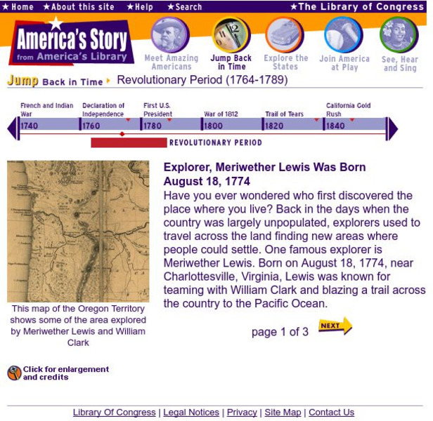
Loc: America's Story: Explorer, Meriwether Lewis Was Born Aug. 18, 1774
A brief look at the life of American explorer, Meriwether Lewis. Provides a historical map of the Oregon Territory, a portrait of Lewis, and a photograph from Little Belt Mountain.
Houghton Mifflin Harcourt
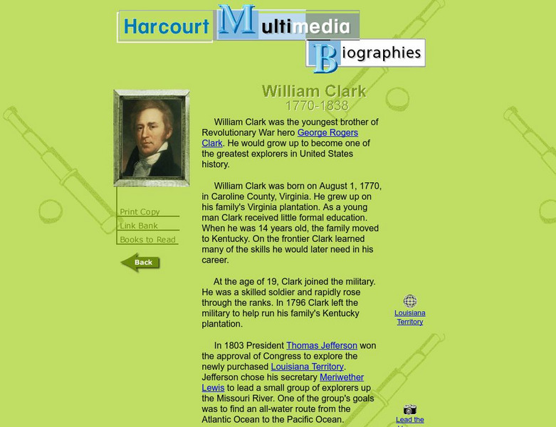
Harcourt: Biographies: William Clark 1770 1838
Brief biographical sketch of William Clark, an American explorer who led a famous expedition up the Missouri River to the Pacific Coast in 1804. Links to maps of the expedition.
Polk Brothers Foundation Center for Urban Education at DePaul University
De Paul University: Center for Urban Education: American Explorers [Pdf]
"American Explorers" is a one page, non-fiction, reading passage about the Lewis and Clark Expedition. They traveled from St. Louis to the Pacific Ocean with the help of Native Americans and made maps along the way. It is followed by...
Polk Brothers Foundation Center for Urban Education at DePaul University
De Paul University: Center for Urban Education: American Explorers [Pdf]
"American Explorers" is a one page, non-fiction, reading passage about the Lewis and Clark Expedition from St. Louis to the Pacific Ocean. Along the way they drew maps for future travels. It is followed by constructed-response questions...
Volunteer Voices
Volunteer Voices: Mapmaking [Pdf]
For this lesson plan young scholars will explore the mapmaking craft, examine the Lewis and Clark maps,identify and apply mapmaking techniques and tools.
Digital History
Digital History: Pathfinders
Read a brief description of the Lewis and Clark Expedition and the Pike Expedition which sought to map out the newly acquired Louisiana Territory.
Library of Congress
Loc: Teachers: Journeys West
A series of lessons utilizing primary texts, including narratives, photographs, and maps, through which young scholars explore the following question: "What motivated thousands of people to journey west during the 1800s?"
Curated OER
Scholastic: Lewis and Clark
An interactive site that has students follow the Lewis and Clark's expedition. As they travel west, they are able to collect objects on their journey and put them in their specimen box. They also take notes on their specimens so they can...
Curated OER
Educational Technology Clearinghouse: Maps Etc: United States, 1845
A map of the United States in 1845 after the Louisiana Purchase, the Lewis and Clark Expedition, and the annexation of Texas. The map is color-coded to show the States and territory of the United States west to the Pacific with the dates...



![U.s. Mint: Let's Build a Map [Pdf] Lesson Plan U.s. Mint: Let's Build a Map [Pdf] Lesson Plan](https://content.lessonplanet.com/knovation/original/249029-024660939f27fa1ea8589c5fba13f0e6.jpg?1661243095)
![De Paul University: Center for Urban Education: American Explorers [Pdf] Unit Plan De Paul University: Center for Urban Education: American Explorers [Pdf] Unit Plan](https://d15y2dacu3jp90.cloudfront.net/images/attachment_defaults/resource/large/FPO-knovation.png)
