Curated OER
Charting the Moon
Sixth graders observe changes in the moon's appearance over a month and keep records of their observations. They write a plan for recording what they see, and a paragraph reflecting on what they have learned over the course of the month.
Curated OER
Shake, Rattle and Erupt
Students study myths regarding four earthquakes myths. They receive a list of supplies each family should have at home to prepare for an earthquake and construct an "Earthquake Preparation" poster showing some of the most important items...
Curated OER
Learning Steps in an Inquiry Process
Third graders are introduced to the steps in the inquiry process. Using this method, they locate and identify at least seven Native American tribes in Montana. In groups, they use the internet to research the culture of the tribes and...
Curated OER
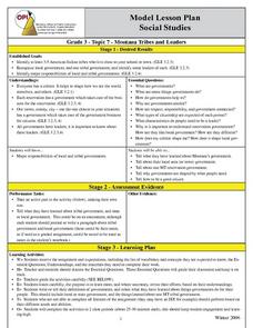
Montana Tribes And Leaders
Third graders investigate the different indian tribes in the state of Montana. They conduct research to answer essential questions. The focus of the information gathering is concerning tribal government. Students create a graphic...
Curated OER
Images of Maine: Poetry
Learners read and evaluate several poems from various Maine authors such as Longfellow, Booth and Millay. They discuss the images of Maine and its people that are related in these poems and compare them to their own ideas of Maine...
Curated OER
World Geography: Who am I?
Students are able to provide a basic description of one country that has arsenic in its water supply. They are able to locate these countries on a map. Students explore the majors countries that have been affected by arsenic...
Curated OER
Shh!
Students explore how to read silently to help them read fluently. They discuss why it is important to read silently. Students read "Jane and Babe" as the teacher models how to read quietly and then silently. They write a story describing...
Curated OER
Class Alphabet Book
Students are introduced to the Kid Pix software program and its templates. With a partner, they use the internet find a picture that starts with each letter of the alphabet. They practice saying and reading the words to their partner for...
Curated OER
Geography: Mapping Neighborhoods
Students examine their neighborhoods and draw maps reflecting land use. In addition, they make predictions about their community's future. Students also consider the impact of business and industry on their communities and predict ...
The Newberry Library
Newberry: Exploration and Encounter: Map 2: Indian Map of the Southeast, 1721
K-12 lessons using historical maps from Newberry Library presents an Indian map of the Southeast, ca. 1721. Students use maps to understand how spatial relationships are represented. Links to supplemental resources and reference material.


