Library of Congress
Loc: Teachers: Exploring Community Through Local History
Guidelines for exploring local history and culture through examining a collection of written and spoken stories, landmarks, and traditions, such as food, festivals, and events. Students will research a variety of primary resources and...
Library of Congress
Loc: Map Collections 1500 2002
This collection provides maps dating back to 1500 up to the present. The collection includes: cities, towns, discovery and exploration, conservation and environment, military battles, cultural landscapes, transportation, communication,...
Ohio State University
Osu History Teaching Institute: Revolutionary War Maps
Young scholars will compare two Primary Source maps for Boston and the surrounding area looking at accuracy and detail. Students will decide which side has the advantage then use that information to analyze the advantages of good maps...
Other
Spotsylvania County Schools: Curriculum Maps
This site features an outline of how to implement the use of curriculum maps into a school district curriculum program.
University of Washington
University of Washington: Knights of Labor History and Geography 1869 1899
Overview of the Knights of Labor with maps showing the expansion of the Knights by color-coded time period, the number of local assemblies in each LA county, and more.
Other
Northumberland County Council: Northumberland Communities
This project provides original source material on Northumberland County's 76 communities. Organized by community it provides digitized records, maps, photographs, and historic overviews of each.
University of Washington
University of Washington: United Auto Workers (Uaw) Locals 1937 1949
History of the United Auto Workers (UAW) with maps showing the spread of the UAW from 1939 through the late 1940s.
Curated OER
Etc: Maps Etc: Ethnolinguistic Groups of China, 1971
" Ethnolinguistic Groups - Almost all inhabitants of mainland China are of Mongoloid stock, and ethnic distinctions in the country are largely linguistic rather than racial. The Han comprise nearly 95 percent of the population; the...
Curated OER
Educational Technology Clearinghouse: Maps Etc: Northeast China, 1971
"Northeast China - the provinces of Heilungkiang, Kirin, and Liaoning - is the most important region of the country and a nationally significant and still-developing center of agricultural production. Most of the Northeast remained...
Curated OER
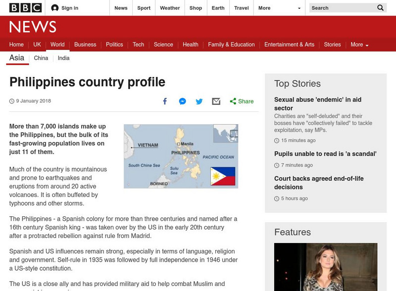
Map of Philippines
BBC News provides an overview of the Philippines, known for its active volcanoes, typhoons, and other storms. Includes a brief history, profile of leaders, timeline of key events, and description of local media. Links to related websites.
Curated OER
Map of Luxembourg
BBC News provides a broad review of the European country of Luxembourg, known for its banking and as a tax haven. Includes a brief history, current information, profile of leaders, timeline of key events, and description of local media....
Curated OER
Map of the Netherlands
BBC News features a general summary of the Netherlands, a constitutional monarchy. Includes a brief history, current information, profile of leaders, timeline of key events, and description of local media. Links to related websites and...
Curated OER
Map of Belgium
BBC News presents a general review of the small European country of Belgium. Includes a brief history, current information, profile of leaders, timeline of key events, and description of local media. Links to related websites and news...
Curated OER
Map of Spain
BBC News provides a general overview of Spain, which is now a democratic state. Includes a brief history, current information, profile of leaders, timeline of key events, and description of local media. Links to related websites, news...
National Association of Geoscience Teachers
Nagt: Bringing the Geologic Time Scale Down to Earth in the Students' Backyard
This activity is specifically designed for a field trip to Drayton Hall, which is a historic plantation near Charleston, South Carolina. It does provide a model of how a similar activity could be designed for a local area, and there are...
BBC
Bbc: News: Country Profile: The Philippines
BBC News provides an overview of the Philippines, known for its active volcanoes, typhoons, and other storms. Includes a brief history, profile of leaders, timeline of key events, and description of local media. Links to related websites.
Curated OER
Tse Whit Zen Village Site Map
A vast collection of stories is presented in this excellent special report by the Seattle Times to showcase the culture and history of Tse-whit-zen, "the largest ancient Indian village ever unearthed in Washington". Listen to talk about...
Curated OER
Map of Portugal
BBC News features an interesting account of the European country of Portugal in the Iberian Peninsula. Includes a brief history, current information, profile of leaders, timeline of key events, and description of local media. Links to...
US Holocaust Memorial Museum
U.s. Holocaust Memorial Museum: The Holocaust in Italy
The history of the Holocaust in Italy is generally well known, but to date there has been little systematic analysis of its spatial dimensions. The objective of this case study is to examine the Holocaust in Italy from a geographical...


