Curated OER
Lights, Shoals & Soundings
Young scholars explore nautical charts and their symbols, with a bit of fun thrown in.
Owl Teacher
Latitude & Longitude
Here is a activity activity where learners mark the latitude and longitude coordinates of cities all over the world. There are 15 cities to identify, from Baghdad, Iraq to Warsaw, Poland and Anchorage, Alaska.
Curated OER
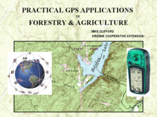
Practical GPS Applications in Forestry & Agriculture
An explanation of the Global Positioning System (GPS) and the Geographic Information System (GIS) is given in this presentation. Uses and applications are considered. How it works and sources of error are also touched upon. A large...


