Curated OER
Warlugulong
Students explore and appreciate variety of ways in which environment can be depicted for range of purposes. They compare different representations of place and environment, and analyze ways information is being communicated.
Curated OER
Introduction to the Barnegat Bay Estuary
Students research estuaries. In this estuaries lesson, students discuss the differences in a bay and an ocean. Students watch a PowerPoint of the properties of the estuaries and geography of Barnegat Bay. Students complete a worksheet...
Curated OER
Clean Kansas Water
Students gain an understanding of ways we can be responsible custodians of our water supply. Students explore the governor's clean water initiative involving the Lower Kansas/Republican river basin and the pollutants present there.
Curated OER
Don't oZone Out
Students study the ozone and measure its concentration in different areas. Students use Ecobadge strips and other equipement for measurement. Then they share their results on an on-line forum. Also, students study environmental problems.
Curated OER
The Civil War in Henry County
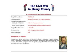
Students consider how the Civil War impacted their community. In this Civil War lesson, students use primary and secondary sources to research the Civil War in Henry County, Georgia. Students use their findings to create multimedia...
Curated OER
Natural Hazards
High schoolers evaluate the hazards of naturally occurring events. After watching a video concerning safety hazards, students work in groups to discuss the safety issues involved in taking a trip to a mountainous region. ...
Curated OER
On the Road Again": Moving People, Products, and Ideas
In this lesson students learn how to identify modes of transportation and communication for moving people, products, and ideas from place to place. Students also study the advantages and disadvantages of different modes of...
Curated OER
Crossing China By Sampan
Sixth graders determine the geographic features that facilitate and prevent communication and commerce between parts of China. They recognize a sampan, the traditional flat-bottomed boat used in Southeast Asia.
NASA
Nasa: Space Place: Make a Topographic Map
Find out what topographic maps are and how to make them. The instructions are complete with pictures to help you construct a mountain of clay and and a corresponding topographic map.
Texas Instruments
Texas Instruments: Jason: Make a Topographic Map
Rainforests at the Crossroads: Make a topographic map of a simulated terrain, which consists of your classroom floor and two boxes of different sizes.
Harvard University
Harvard University: Maps and Mapping
This site is provided for by Harvard University. Students follow a map on a scavenger hunt, create a map of their classroom and their town, learn how to read topographic maps, and discover latitude and longitude in these inquiry activities.
National Association of Geoscience Teachers
Serc: Mapping Potato Island
In this hands-on activity, middle schoolers make a topographic map to describe the shape of a potato. They will gain an understanding of how contour lines are used to describe the shape of the land surface.
Science Education Resource Center at Carleton College
Serc: Mn Step: Student Created Landform Maps With Glacial Emphasis
An activity where learners work together to make topographic maps of a local park. The map must include a key and the grid locations of landforms in the park.
Curated OER
University of Texas: Afghanistan: Topography
A 1986 topographical map of Afghanistan from the Perry-Castaneda Collection. You can clearly see the mountain ranges, valleys, and passes that make up this mountainous country.
TeachEngineering
Teach Engineering: Topo Triangulation
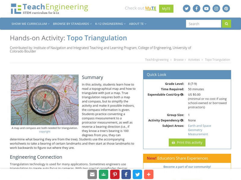
In this activity, students will learn how to read a topographical map and how to triangulate with just a map. True triangulation requires both a map and compass, but to simplify the activity and make it possible indoors, the compass...
National Association of Geoscience Teachers
Nagt: Urban Planning 101: Map Appreciation
In this lesson plan students will begin by looking at a series of maps and they will brainstorm ways the natural world may interact with humans and vice-versa. Students will then come up with a list of features of a city or town, make...
Curated OER
Educational Technology Clearinghouse: Maps Etc: South China, 1971
"South China comprises the drainage basins of the middle and lower Yangtze River, the basin of the His Chiang (West River) in Kwangtung and Kwangsi; and the mountainous coastal provinces of Fukien and Chekiang. The division between the...
Alabama Learning Exchange
Alex: Land Surveying Project
This project resulted from of the collaboration of a computer aided drafting teacher, Chris Bond, and a math teacher, Lee Cable, (Hewitt-Trussville High School) to provide higher math expectations in CT and real life application in...
Science Education Resource Center at Carleton College
Serc: A Data Rich Exercise for Discovering Plate Boundary Processes
This article in the Journal of Geoscience Education describes a classroom exercise based on four world maps containing earthquake, volcano, topographical and seafloor age data. Learners participate in this exercise by using a "jigsaw"...


