Curated OER
Colonization
Students explore why the Americas attracted Europeans, why they brought enslaved Africans to their colonies, and how Europeans struggled for control of North American and the Caribbean.
Curated OER
The City of Ember chapters 3 and 4
In this comprehension worksheet, students read The City of Ember chapters 3 and 4 and answer multiple choice questions about it. Students complete 15 questions.
Curated OER
Deer Tracks
Young scholars use satellite images to track to movement patterns of deer and examine deer behavior. They write stories about a day in the life of a field scientist.
Curated OER
What a Site!
Fourth graders are introduced to how to properly create a grid site. In groups, they use Cartesian coordinates to establish the boundaries for the grid and photograph the location of artifacts. They exchange their photos with another...
Curated OER
So -- What's Happening Here? On this Old Christmas Tree Farm
Pupils take a field trip to an old Christmas tree farm near their school. In groups, they gather data at the site and analyze the data in an attempt to discover what happened to the area. They identify human activities that led to the...
Curated OER
My Life as a Loggerhead
Students discuss the current flow of the Gulf Stream and the characteristics of the Sargasso Sea. They visit websites to gather information on loggerhead sea turtles. Students imagine that they are newly hatched loggerhead turtles.
Curated OER
The Legend of the Indian Paintbrush: Native American Life
Students read," The Legend of the Indian Paintbrush" by Tomie dePaola and discuss the way legends are passed down orally. They then create their own legend and illustrate it on a simulated "Buffalo Skin" made from brown paper.
Curated OER
Design Notebook
Students create a notebook where they record their plans, designs, revisions, problems, and solutions for a designated project. They examine various samples of design notebooks used by professionals, and develop their own notebook.
Curated OER
Math: A Geometric Neighborhood
Young scholars, as a final project, draw a picture of their ideal neighborhood on a sunny day. In addition to the sun, their drawings include homes, trees, streets, and selected objects. Each object in their drawing has a written...
Other
Map Zone: Compasses and Directions
Sharpen map skills by exploring these map pages. Learn about the compass rose, different norths, and how to use a compass.
Geographypods
Geographypods: Map Skills
A collection of highly engaging learning modules on various topics within mapping skills. Covers map symbols, how to use four- and six-figure grid references, cardinal directions, distance, contour mapping, and drawing cross-sections....
Other
Geoscience Australia: Map Reading Guide: How to Use Topographic Maps [Pdf]
A topographic map can be challenging to read. This guide explains how to decipher one and how to use a magnetic compass to orient yourself to the landscape. It also explains how to use GPS coordinates.
Texas Education Agency
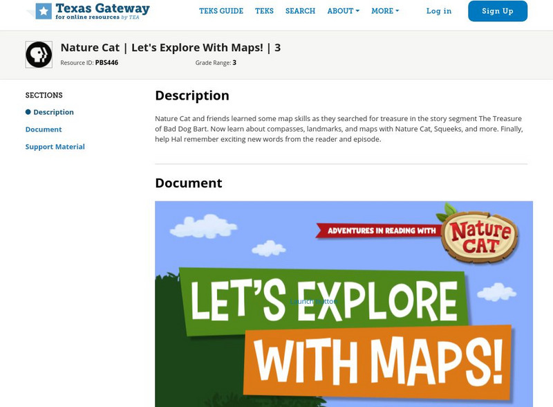
Texas Gateway: Nature Cat: Let's Explore With Maps!: Grade 3
Nature Cat and friends learned some map skills as they searched for treasure in the story segment "The Treasure of Bad Dog Bart". Learn about compasses, landmarks, and maps with Nature Cat, Squeeks, and more. Finally, help Hal remember...
E-learning for Kids
E Learning for Kids: Math: Bus Station: Position on a Map
Help Jamal read maps, describe directions, and identify coordinates in this series of interactive exercises.
BBC
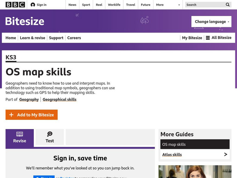
Bbc: Bitesize Geography: Os Map Skills
A short tutorial on mapping tools and how to read maps. Covers features of maps, symbols, the compass, scale, distance, how height is represented, and grid references. Includes multiple-choice quiz at the end.
SMART Technologies
Smart: Geography Unit: Maps
This geography unit is designed to follow the 1st Grade geography skills required in Virginia. Students are expected to use cardinal directions, read map keys and understand map symbols, as well as identify our city and capital.
Read Works
Read Works: Learn About Maps
[Free Registration/Login Required] Intended to support early elementary students' reading comprehension, the basic terminology associated with map are explained in this informational text. A question sheet is available to help students...
Utah Education Network
Uen: Lesson Plan: Map Trap
Lesson to reinforce maps skills and concepts. Students map locations around their school and use world maps to locate major landmarks.
SMART Technologies
Smart: Final Project Map Skills
This lessons explores the different ways we can view our world along with the different parts of a map or globe.
PBS
Pbs Learning Media: Let's Learn
This collection of resources for children ages 3-8 are drawn from the public television series Let's Learn, a partnership between the WNET Group and the New York City Department of Education. Let's Learn aims to provide our young...
E-learning for Kids
E Learning for Kids: Science: Antarctica: What Is Position and Reference Point?
With all the snow and ice in Antarctica, it's easy to get lost. Help Tim find his way using a map and a compass.
ClassFlow
Class Flow: Maps Globe Skills
[Free Registration/Login Required] This flipchart discusses landforms, mapping and the Compass Rose. Students can practice using Cardinal Directions and use Activotes.
US Mint
United States Mint: In Mr. Lincoln's Shoes [Pdf]
Using the study of President Abraham Lincoln as a guide, students demonstrate basic map skills including cardinal directions and how to use a compass rose.
Pamela Seed
The Art and Science of Fifteenth Century Navigation: Latitude
Chronicle of the changes that occurred in various areas when latitude was identified in 1516. Site includes links to the changes in maps, compass roses, and the science of sailing.




![Geoscience Australia: Map Reading Guide: How to Use Topographic Maps [Pdf] Handout Geoscience Australia: Map Reading Guide: How to Use Topographic Maps [Pdf] Handout](https://d15y2dacu3jp90.cloudfront.net/images/attachment_defaults/resource/large/FPO-knovation.png)
