Curated OER
Catch Me If You Can: Over and Under
Students read a story. In this vocabulary skills lesson, students read The Gingerbread Man, use flannel cut outs to re-enact the gingerbread man running over and under.
Curated OER
Deer Tracks
Students use satellite images to track to movement patterns of deer and examine deer behavior. They write stories about a day in the life of a field scientist.
Curated OER
Physical Habitat of a Stream
Learners measure in metric units and use a stopwatch, calculator. They collect data with minimal instructions after the initial pre-activity briefing, then record data in the data sheets provided.
Curated OER
Graphing Ordered Pairs
For this math worksheet, students learn to graph ordered pairs. Students examine a graph with 3 labeled points and tell the ordered pairs for each. Students also plot 8 ordered pairs on a graph they draw themselves.
Curated OER
Ecosystems Online
Students work together to gather information on ecosystems from websites. They identify plants and animals and create their own website. They are graded on their willingness to work together and the content on the website.
Curated OER
Heritage: Make a Model of a Typical Utah Settlement
Fourth graders examine the different types of settlements used in Utah. They take a community map of Utah past and present and compare the two. They create a model of the early types of settlements used by pioneers in Utah.
Curated OER
Vectors
Students use both magnitude and direction to locate a place. They use locating techniques to make a temperature field of their classroom.
Curated OER
Why Archaeologists Dig Square Holes
Students examine how archaeologists establish and maintain the context of artifacts. They interpret a plan view of an archaeological site and explain the importance of the grid system.
Curated OER
Where in the World is Cynthia San Francisco? A weather-related challenge
Students investigate concepts of weather using a guided, essential question. They collect data from satellite weather images and create models to track the progress of weather changes.
Curated OER
Hardships of the Maine-land
Fifth graders examine the design of the Maine quarter reverse and identify the objects depicted. They compare the settlement at Popham, Maine with that at Jamestown, Virginia.They write journal entries and draw pictures about the Maine...
Curated OER
A Biome to Call Home
Students research, present, and compare information about the features of seven biomes that exist in the U.S. They view and discuss the images on the Arkansas state quarter, conduct research on the biomes, and create a poster of the...
Curated OER
Bryant Creek Watershed Project - Making a Karst Dictionary
Learners explore the definitions relevant to Karst topography. They develop a Bryant Watershed Dictionary of the special words and terms that are used to talk about the topography and hydrology of the area they live in.
Curated OER
Hurricanes-Disasters In the Making
Sixth graders discover the proper methods for plotting hurricanes while developing their understanding of hurricanes by researching and gathering tracking data from technological sources. Students develop a newsletter about hurricanes,...
Other
Geoscience Australia: Map Reading Guide: How to Use Topographic Maps [Pdf]
A topographic map can be challenging to read. This guide explains how to decipher one and how to use a magnetic compass to orient yourself to the landscape. It also explains how to use GPS coordinates.
PBS
Pbs Learning Media: Using a Coordinate Grid
In this Cyberchase video segment, the CyberSquad must locate each other using a map's grid to construct a coordinate system using letters and numbers.
CK-12 Foundation
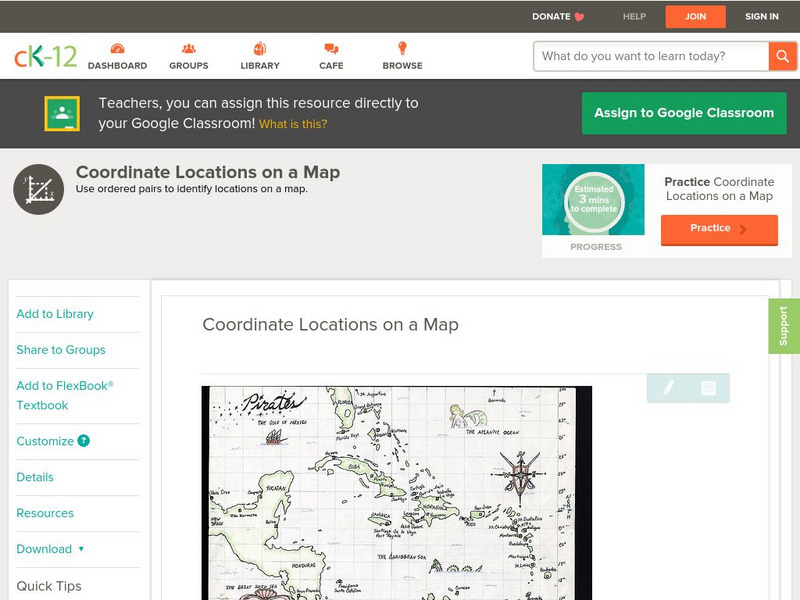
Ck 12: Algebra: Coordinate Locations on a Map
[Free Registration/Login may be required to access all resource tools.] Find points on a map using integer coordinates.
E-learning for Kids
E Learning for Kids: Math: World of Fish: Position on a Map
Students will play an interactive game to interpret simple maps by describing position, plotting points with coordinates, and drawing and following a path.
E-learning for Kids
E Learning for Kids: Math: Bus Station: Position on a Map
Help Jamal read maps, describe directions, and identify coordinates in this series of interactive exercises.
Harvard University
Harvard University: Maps and Mapping
This site is provided for by Harvard University. Students follow a map on a scavenger hunt, create a map of their classroom and their town, learn how to read topographic maps, and discover latitude and longitude in these inquiry activities.
Alabama Learning Exchange
Alex: Coordinate Geometry
Students will participate in several activities that will build their knowledge of coordinates graphing. Students will use ordered pairs to locate points on a grid. Students will also relate coordinate graphing to the real world through...
Alabama Learning Exchange
Alex: Introduction to the Cartesian Coordinate Plane
This lesson consists of two PowerPoint presentations that use animation (motion) to demonstrate how to obtain a 1-1 mapping between a plane and ordered pairs of Real numbers. These can be teacher presented or if you have enough PCs...
Texas Instruments
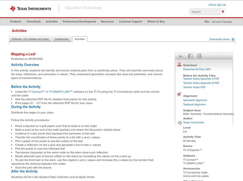
Texas Instruments: Mapping a Leaf
In this activity, students will identify and record ordered pairs from a coordinate plane. They will examine symmetry about the axes, reflections, and symmetry in nature. They understand geometric concepts like area and perimeter, and...
Texas Instruments
Texas Instruments: Navigating the Usa With the Coordinate Plane
The students will be plotting points on the United States Map. This background and activity could be used and/or modified to fit any social studies class. Students could explore topics ranging from graphing coordinates in pre-algebra to...
Other popular searches
- Coordinates on a Map
- Treasure Map Coordinates
- Grid Coordinates Map
- Math Map Coordinates
- Coordinates Map
- Coordinates Map Skills
- Map Coordinates Test
- Reading Map Coordinates
- Map Coordinates Way Points


![Geoscience Australia: Map Reading Guide: How to Use Topographic Maps [Pdf] Handout Geoscience Australia: Map Reading Guide: How to Use Topographic Maps [Pdf] Handout](https://d15y2dacu3jp90.cloudfront.net/images/attachment_defaults/resource/large/FPO-knovation.png)


