TeachEngineering
Teach Engineering: Projections and Coordinates: Turning a 3 D Earth Into Flatlands
Projections and coordinates are key advancements in the geographic sciences that allow us to better understand the nature of the Earth and how to describe location. These innovations in describing the Earth are the basis for everything...
Khan Academy
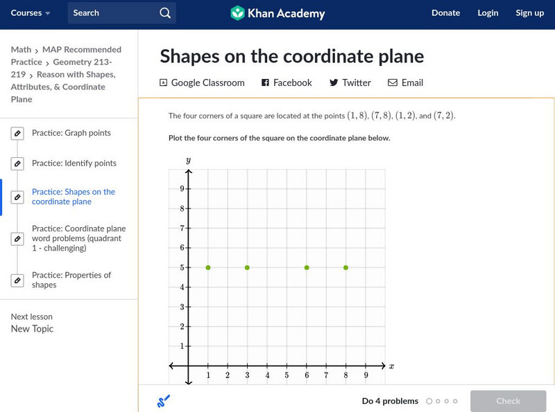
Khan Academy: Shapes on the Coordinate Plane
In this exercise, students practice identifying shapes on the coordinate plane. Students receive immediate feedback and have the opportunity to get hints and try questions repeatedly.
E-learning for Kids
E Learning for Kids: Math: Tea Store: Position on a Map
Help Gina locate items in the tea store using coordinates, a compass, and a ruler in this series of leveled exercises.
US Geological Survey
U.s. Geological Survey: Teaching About and Using Coordinate Systems [Pdf]
Provides lessons and activities for teaching about the different types of coordinate systems including the Cartesian coordinate system, the Geographic Coordinate System, the Universal Transverse Mercator grid, and the State Plane...
E-learning for Kids
E Learning for Kids: Math: Dinosaurs: Angles and Position on a Map
Students will play learning games to practice moving on a coodinate plane.
Texas Instruments
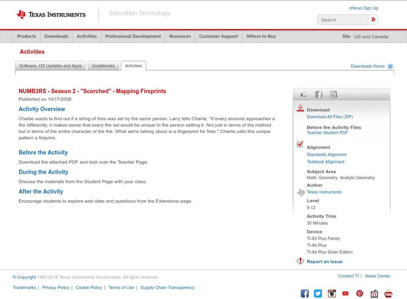
Texas Instruments: Numb3 Rs: Mapping Fireprints
Based off of the hit television show NUMB3RS, this diverse lesson has students perform linear regression analysis (to compare two fire variables), check three-dimensional points using a planar equation, and evaluate points to determine...
Rice University
Rice University: Cynthia Lanius: Mathematics of Cartography: Coordinate System
A coordinate system such as latitude/longitude is an example of absolute location. Links to Greenwich/Prime Meridian.
Rice University
Rice University: Cynthia Lanius: Mathematics of Cartography: What Are Maps?
Defines what maps are and provides illustrations and related links to a site devoted to cartography.
Social Studies for Kids
Social Studies for Kids: Latitude and Longitude
A collection of latitude and longitude mapping activities ranging from pin-pointing exact locations on the globe to researching the history behind this basic geography concept.
Alabama Learning Exchange
Alex: Plotting Points in Alabama
The students will be able to use coordinates to find locations of specific cities on a map of Alabama.
SMART Technologies
Smart: Latitude and Longitude
Try to locate famous landmarks using latitude and longitude coordinates in this interactive classroom activity.
Other
Boat Safe Kids: Longitude and Latitude
This website starts at the very beginning and explains how round globes are transferred to flat maps. Then they explain the use of longitude and latitude.
Rice University
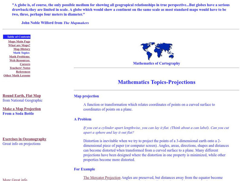
Rice University: Cynthia Lanius: Mathematics of Cartography: Projections
Understanding map projections is an important map-reading skill. Features graphics and links to examples of many different projections and an activity on making a Mercator projection.
Wolfram Research
Wolfram Math World: Map
A brief description of a map. There are also many links about related map topics, included on this MathWorld site.
Simon Fraser University
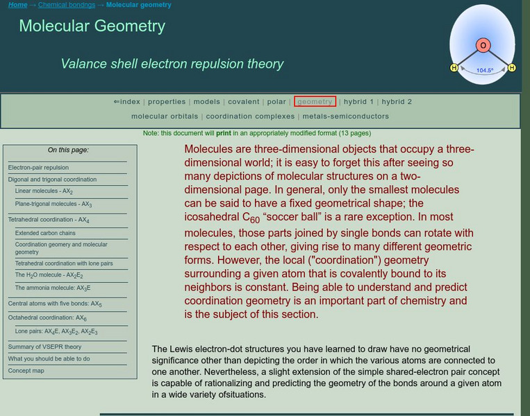
Chem1 Virtual Textbook: Molecular Geometry
An advanced explanation of the valence shell electron pair repulsion (VSEPR) theory describes specific molecular models involving digonal, trigonal, tetrahedral, and octahedral coordination, as well as central atoms with five bonds....
PBS
Pbs Kids Afterschool Adventure!: Operation: Lost and Found Activity Plan
Gorillas, groceries, pirate treasure, and aardvark homes: these are just a few of the things children will search for and find in this week's Afterschool Adventure, Lost and Found. Children will use position words like above, below, and...
TeachEngineering
Teach Engineering: What Is Gis?
Geographic information systems (GIS) are important technology that allows rapid study and use of spatial information. GIS have become increasingly prevalent in industry and the consumer/internet world in the last 20 years. Historically,...
American Association of Physics Teachers
Com Padre Digital Library: Open Source Physics: Particle Worldline Model
Simulation exploring the behavior of particles as they approach a black hole using Schwarzschild coordinates.
NOAA
Noaa: Follow That Hurricane [Pdf]
Utilize data from historical hurricanes and a map of areas around the Atlantic Ocean to plot the paths of these potentially devastating storms.
PBS
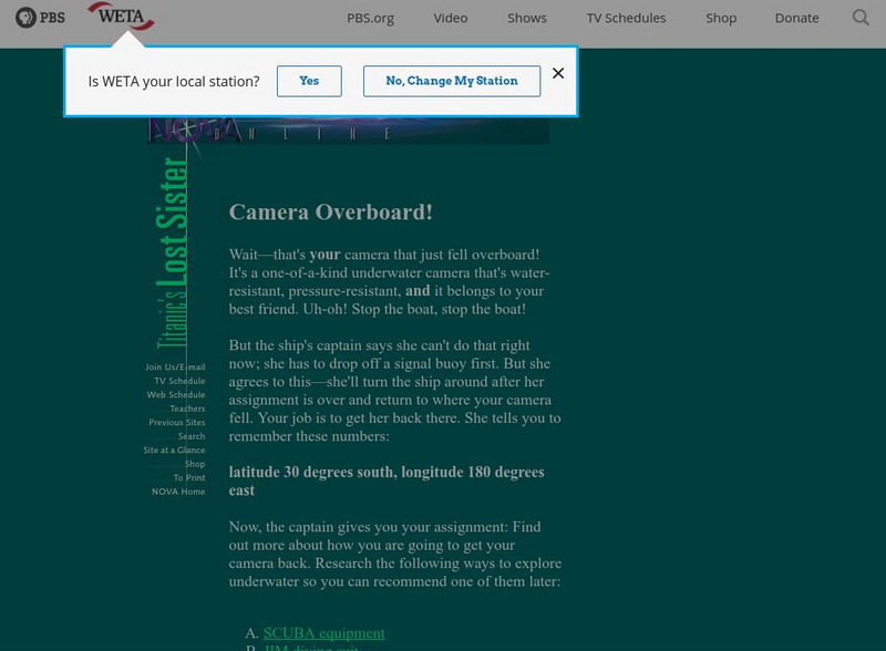
Pbs Teachers: Titanic's Lost Sister: Camera Overboard!
Learn about different diving equipment in order to determine which would be most useful in recovering a sunken object and exploring underwater. Find a location on a globe or map using latitude and longitude coordinates.
E-learning for Kids
E Learning for Kids: Math: Group of Pyramids: Capacity and Position
On this interactive website students practice various math skills using a real life scenario at the pyramids. Those skills include comparing capacity of three or more containers, using compass directions to describe locations, and using...
E-learning for Kids
E Learning for Kids: Math: Riksjas, Toek Toek: Position
Students will play an interactive game to explore maps, routes, and locations of objects.
E-learning for Kids
E Learning for Kids: Math: World of Fish: Position and Directions
Meet Calypso the fish and go to the underwater world to learn more about position on maps.
CK-12 Foundation
Ck 12: Volume of Pyramids: Midpoint Map
[Free Registration/Login Required] Students explore the concept of midpoints and segment bisectors by navigating through the interactive learning module and then answering questions that go along with the module. Students can also learn...
Other popular searches
- Coordinates on a Map
- Treasure Map Coordinates
- Grid Coordinates Map
- Math Map Coordinates
- Coordinates Map
- Coordinates Map Skills
- Map Coordinates Test
- Reading Map Coordinates
- Map Coordinates Way Points



![U.s. Geological Survey: Teaching About and Using Coordinate Systems [Pdf] Lesson Plan U.s. Geological Survey: Teaching About and Using Coordinate Systems [Pdf] Lesson Plan](https://d15y2dacu3jp90.cloudfront.net/images/attachment_defaults/resource/large/FPO-knovation.png)
