Curated OER
Educational Technology Clearinghouse: Maps Etc: American Population, 1790
A map of the original thirteen States in 1790 showing the distribution of the European-American population at the time and the general tribal lands of the Native Americans east of the Mississippi River. The map shows the State lines,...
ABCya
Ab Cya: Take a Trip: A Journey Through Familiar Places
Using the computer mouse, children carefully move a car through a map of a town while trying to avoid going off of the path. They pass different landmarks and are introduced to them one at a time. The activity provides good hand-eye...
University of Cambridge
University of Cambridge: Nrich: Treasure Island
See if you can find what the ordered pairs are for each of the items on the map. This one page website will help you practice plotting points on the grid. You can check the answers right on the website.
New York Times
New York Times: Crossword Puzzle: Latitude & Longitude
Here is an interactive & printable crossword puzzle developed by the New York Times Learning Network. The theme of this puzzle is Latitude & Longitude.
Geographic
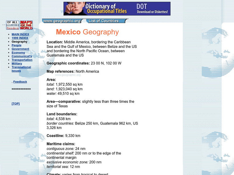
Mexico Geography Flags, Maps, Economy, Geography, Clim
Short country profile with location, geographic coordinates, comparison of size with US states, etc.
TeachEngineering
Teach Engineering: Nidy Gridy
Normally we find things using landmark navigation. When you move to a new place, it may take you awhile to explore the new streets and buildings, but eventually you recognize enough landmarks and remember where they are in relation to...
Fourmilab Switzerland
Earth and Moon Viewer
View a map of the Earth showing the day and night regions at this moment, or from the sun, the noon, the night side, and other points of view in this simulation. Illustrated.
Texas Instruments
Texas Instruments: Exploring the Unit Circle
In this activity, students explore the properties of a unit circle and its mapping functions.
Texas Instruments
Texas Instruments: Jason: Mystery of the Agouti and the Ocelot
Rainforests at the Crossroads: Use a set of XY coordinates to map the locations of an agouti and an ocelot at one-hour intervals. After determining the locations of the animals, use the information to solve the mystery behind the...
Texas Instruments
Texas Instruments: Getting Started With the Ti Navigator: Equations of My Road
This lesson introduces students to the use of a map of an area, a neighborhood, a favorite city, or an amusement park, to determine the slope of a specific road. Students will find the slope of a line using a coordinate plane.
Khan Academy
Khan Academy: Determine Rotations
Given a figure on the coordinate plane and a center of a rotation, find the angle for the rotation that maps one figure to the other. Students receive immediate feedback and have the opportunity to try questions repeatedly, watch a...
Khan Academy
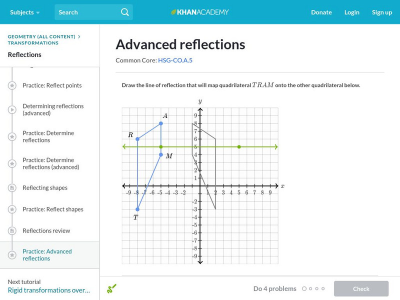
Khan Academy: Advanced Reflections
Find the reflection that maps a given figure to another and draw the image of a reflection. The lines of reflection in this exercise have a wide range of slopes. Students receive immediate feedback and have the opportunity to try...
National Geographic
National Geographic: Introduction to Latitude and Longitude
In this lesson, students learn to determine the latitude and longitude of locations within the United States, while making observations about climate and the ways in which these measurements can be useful. Includes maps and discussion...
TeachEngineering
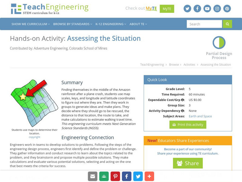
Teach Engineering: Assessing the Situation
In this activity, students will use the scale, the key, and longitude and latitude on a map to determine where they have crashed. They will then use the map scale to determine the distance to the nearest city and how long it will take...
American Geosciences Institute
American Geosciences Institute: Earth Science Week: Places on the Planet: Latitude and Longitude
Students learn how citizen scientists involved in the Geological Society of America's EarthCaching project use GPS technology and latitude and longitude coordinates to find special places on the Earth.
TeachEngineering
Teach Engineering: Hurricane! Saving Lives With Reasoning & Computer Science
Students develop and apply the distance formula and an x-y coordinate plane on a hurricane tracking map, and then use a map scale to determine distance in miles. Then, using MATLAB computer science programming language, students help...
Rice University
Rice University: Cynthia Lanius: Mathematics of Cartography
Can there be a connection between map making and math? Explore the mathematics of cartography in this resource that integrates web-based instruction, mathematical problem solving, geometry, history, and art. Interesting information and...
E-learning for Kids
E Learning for Kids: Math: World of Fish: Space
Join Otto at the Phantasia construction site. Will you help him build a new playground?
Texas A&M University
Wtamu Virtual Math Lab: Intermediate Algebra
This site is a tutorial for students in algebra 2 or for those who need a refresher. The site has explanations, definitions, examples, practice problems and practice tests are found covering topics such as linear equations, graphing,...
Texas Instruments
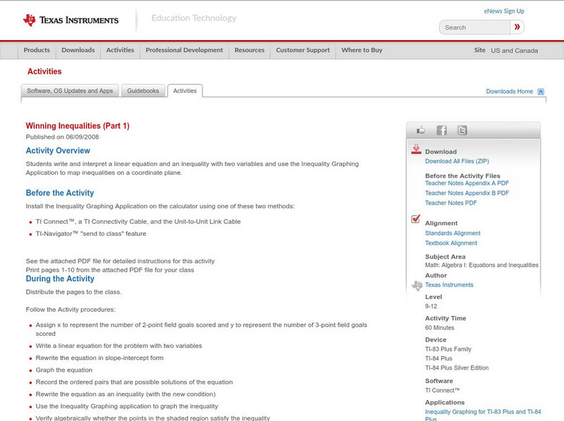
Texas Instruments: Winning Inequalities (Part 1)
Students write and interpret a linear equation and an inequality with two variables and use the Inequality Graphing Application to map inequalities on a coordinate plane.
Geographic
Photius Coutsoukis Home Page: Honduras Geography
Learn all about the geography of the country of Honduras from this web site. It describes its location, map references, geographic coordinates, area, land boundaries, coastline, and much more.
NASA
Nasa: Central Solar Eclipse Paths: 1991 2050
Resource provides links to maps and path coordinates for every solar eclipse from 1991 through 2050.
Khan Academy
Khan Academy: Congruence and Transformations
Given a pair of figures in the coordinate plane, try to map one onto the other and determine whether they are congruent. Includes examples of glide reflections. Students receive immediate feedback and have the opportunity to try...
Khan Academy
Khan Academy: Determine Rotations
Given a figure on the coordinate plane and a center of a rotation, find the angle for the rotation that maps one figure to the other.
Other popular searches
- Coordinates on a Map
- Treasure Map Coordinates
- Grid Coordinates Map
- Math Map Coordinates
- Coordinates Map
- Coordinates Map Skills
- Map Coordinates Test
- Reading Map Coordinates
- Map Coordinates Way Points


