United Nations
Unesco: Early Christian Monuments of Ravenna
This World Heritage website features Ravenna in Italy, which was the center of the Roman Empire at one point, and later of the Byzantine Empire in Italy. Presented on this website are eight Christian buildings, and their mosaics, from...
Other
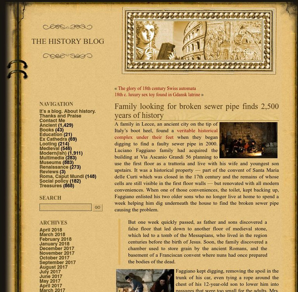
History Blog: Family Looking for Broken Sewer Pipe Finds 2,500 Years of History
A fascinating story about a family in Lecce, Italy, who made a major archaeological discovery while digging under their house to find the source of a problem in the pipes that led to a toilet. What they found instead was an entire...
Columbia University
Columbia University: Renaissance Architecture
Learn about Renaissance architecture and explore 360 degrees panoramas of buildings in France, Italy, and Portugal. A few can also be explored through their architectural plans. Features one project that maps Venice's Renaissance art and...
United Nations
Unesco: Historic Centre of Naples
This World Heritage website features Naples, first founded by the Greeks in 470 BC as Neopolis. Found here are a description of its long history, links, a map, documentation, photos, and any indicators of threats to its integrity.
United Nations
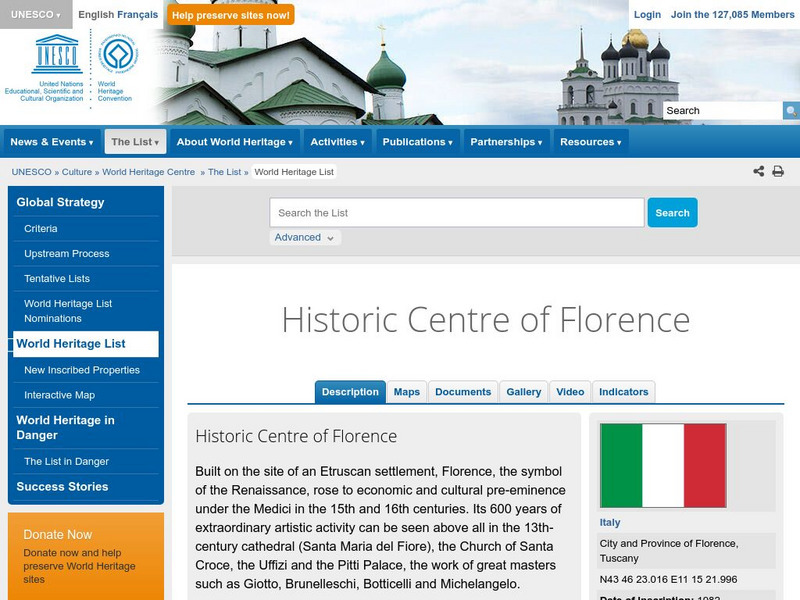
Unesco: Historic Centre of Florence
This World Heritage website features Florence, a focal point for the Italian Renaissance. Found here are a description, a map, documents, many photos, a video on its significance, and any indicators of threats to its preservation.
United Nations
Unesco: Ferrara, City of the Renaissance, and Its Po Delta
This World Heritage website features Ferrara, a focal point for the Italian Renaissance in the 15th and 16th centuries. Ferrara is known as well as the place where modern town planning began. Found here are a description, a map,...
United Nations
Unesco: Historic Centre of Urbino
This World Heritage website features Urbino, an important center for a short time during the Italian Renaissance that has been largely preserved. Found here are a description, links, maps, documentation, photos, and a video on its history.
Curated OER
Etc: Maps Etc: The Breakup of Austria Hungary, 1918
A map showing the breakup of Austria-Hungary under the Treaty of Saint Germain (Austria) and the Treaty of Trianon (Hungary) at the close of the First World War. This map shows the newly established boundaries for the former territories...
Curated OER
Educational Technology Clearinghouse: Maps Etc: Austria and Hungary, 1920
A map of the former Austria-Hungary after the Treaty of Versailles following WWI, showing pre-war and post-war boundary changes. The map shows the new boundaries of Czechoslovakia and Jugoslavia, the losses to Poland, Ukraine, Romania,...
Curated OER
Etc: Maps Etc: The Grisons (Graubunden) and the Valtelline, 1622
A map of the Grisons (Graubunden Canton) and the Valtelline territories of Switzerland in 1622. The map is color-coded to show the area of the Grisons in pink and the Valtellines (now part of the Lombardy region of Italy) in green. This...
Curated OER
Educational Technology Clearinghouse: Maps Etc: Austria Hungary, 1920
A map of Austria-Hungary in 1920, showing railroads, canals, and submarine telegraph lines. This map shows the partition of the Austro-Hungarian territories after WWI, showing the new boundaries established by the Treaty of Saint...
Curated OER
Educational Technology Clearinghouse: Maps Etc: Post Wwi Africa, 1918
This map is of Africa after World War I. The scramble by Italy, Belgium, and Germany to create colonies in order to keep up with the British, French, and Spanish Empires was played out in Africa, the last remaining continent yet to be...
Curated OER
Educational Technology Clearinghouse: Maps Etc: Ethnic Groups of Europe, 1916
A 1916 map showing the historic lands held by the various groups of Europe, including the Latin nations (Italy, France, Spain, and Portugal), Teutonic nations of Germany, Netherlands, Scandinavia, and which include the Celts of the...
Curated OER
Etc: Maps Etc: Comparative Areas of the United States and Other Countries, 1872
A map from 1872 of the United States used to illustrate the comparative area sizes of the states to other countries in the world. The map shows state and territory boundaries at the time (Dakota, Montana, Washington, Idaho, Wyoming,...
Curated OER
Educational Technology Clearinghouse: Maps Etc: Europe, 1848 1871
A map of Central Europe between 1848 and 1871 showing Prussia, the German Empire, the French gains in Savoy and Nice, and losses in the Alsace-Lorraine territory, the Austria-Hungary Empire, the Kingdom of Italy, and the Ottoman Empire.
Curated OER
Educational Technology Clearinghouse: Maps Etc: Switzerland, 1914 1919
A map from 1919 of Switzerland shortly after World War I, showing the Canton boundaries at the time, major cities and towns, railroads, lakes, rivers, and mountain systems of the region, and the frontiers with France, Italy, Austria, and...
Curated OER
Educational Technology Clearinghouse: Maps Etc: Europe, 1904
"Europe - Greece has the honor of being in the van of European civilization and power, but in the seventh century before Christ a rival sprang up in Italy, which in the course of time attained such vigor that Greece at last was humbled...
Curated OER
Flag of Italy
This is an online resource for information on Italy. The site includes a map and flag, government, population, languages, communications, economic summary, and a history of the country.
Curated OER
Northern Italy Illustrating Bonaparte's First Campaign, April 1796 to April 1797
"All through this Italian campaign Bonaparte acted as if he were the head of the state, not its servant.
Curated OER
Educational Technology Clearinghouse: Maps Etc: Rome, 1921
A plan of Rome in 1921 showing Pincian Hill (1), Hadrian's Tomb (2), Saint Peter's (3), Vatican (4), Pantheon (5), Quirinal (Royal Palace) (6), Baths of Diocletian (7), Railway Terminal (8), Column of Trajan (9), Capitol (10), Forum...
Curated OER
Educational Technology Clearinghouse: Maps Etc: Plan of Syracuse, 200 50 b.c.
A plan of the Greek colony of Syrakousa (Syracuse) on the eastern coast of the island of Sikelia (Sicily) in what was a portion of the Magna Graecia region in circa 200 to 50 BC.
Other popular searches
- Blank Map of Italy
- Italy Outline Map
- Choropleth Map of Italy
- Choropleth Map for Italy
- Physical Map of Italy
- Landforms Map of Italy
- Worksheet Map of Italy
- Printable Map of Italy
- Outline Map of Italy
- Primary Map of Italy
- Italy Map
- Unification of Italy Map


