Curated OER
Educational Technology Clearinghouse: Maps Etc: Italian Front, 1914 1919
A map from 1919 of the northeastern Italian fronts during World War I, including the front in 1917 and in 1918. The map shows principal cities and ports, railroads, mountains, rivers, and coastal features.
Curated OER
Etc: Maps Etc: Vicinity of Ancient Rome, Circa 800 b.c.
A map showing the vicinity of ancient Rome, including the Tiber River, Mons Sacer, and the territories of the Etruscans, Umbrians, Sabines, Picentes, Pelignians, Aquians, Latins, Hernici, Frentani, Volscians, and Samnites. The map shows...
Curated OER
Etc: Maps Etc: The Roman Empire Under Augustus, 27 Bc to Ad 14
A map of the extent of the Roman Empire under Augustus (63 BC to AD 14). The map is color-coded to show the territories, and uses Latin place names such as Mare Internum (Mediterranean Sea), Pontus Euxinus (Black Sea), and Danubius Fl....
Curated OER
Etc: Maps Etc: Rome and Carthage at the End of the First Punic War, 241 Bc
A map of Rome and Carthage at the end of the First Punic War (264-241 BC). This map is color-coded to show the extent of the Roman Empire in yellow and the Carthaginian territory in pink. By the end of the First Punic War, the Roman...
Curated OER
Educational Technology Clearinghouse: Maps Etc: Naples, 1919
A map of the Bay of Naples.
Curated OER
Educational Technology Clearinghouse: Maps Etc: Latium, 753 Bc to Ad 663
A map of Latium, the dominion of primeval Rome.
Curated OER
Educational Technology Clearinghouse: Maps Etc: Ancient Rome, 753 Bc to Ad 663
A map showing the plan of ancient Rome.
Curated OER
Educational Technology Clearinghouse: Maps Etc: Plan of Pompeii, a.d. 79
A map of Pompeii showing Gate of Herculaneum (A), Gate of Vesuvius (B), Gate of Capua (C), Gate of Nola (D), Gate of Sarno (E), Gate of Nocera (F), Gate of Sabiae(G), Gate of the Seashore (H), Forum (I), Temple of Jupiter (J), Basilica...
Curated OER
Etc: Maps Etc: Vicinity of Rome, 753 Bc to Ad 663
A map showing the vicinity of early Rome, including neighboring cities and peoples of the area.
Curated OER
Educational Technology Clearinghouse: Maps Etc: Plan of Syracuse, 415 413 b.c.
A plan of the Greek colony of Syracuse during the years 415 to 413 BC, at the siege of Syracuse in the Peloponnesian War. The map shows Athenian naval camp (a), the Athenian fort (b), the height at the rear of the Athenian line (c), the...
Curated OER
Educational Technology Clearinghouse: Maps Etc: Rome and Vicinity, 1916
A map of Rome and the surrounding vicinity in 1916 showing the River Tiber, lakes and terrain, the Appian Way, railways, and the cities of Fiumicino, Ostia, Tivoli, Frascati, Marino, Albano and Genzano.
Curated OER
Educational Technology Clearinghouse: Maps Etc: Catacombs of Callixtus, 1881
A map from 1881 showing part of the Catacombs of Callixtus (San Callisto) along the Appian Way in Rome.
Curated OER
Etc: Maps Etc: The Peoples Around Rome, Circa 405 Bc
A map showing the proximity of the enemies (Etrusci, Sabini, Aequi, and Volsci) and allies (Latini and Hernisci) of early Rome.
Curated OER
Etc: Maps Etc: The Capitoline Hill and the for A, First Century a.d.
A plan of the Capitoline Hill and the Fora in Rome during the First Century AD. The plan shows the Temple of Jupiter (1), Temple of Juno (2), Aerarium (3), Temple of Saturn (4), Temple of Concord (5), Tullianum (6), Arch of Severus (7),...
Curated OER
Etc: Maps Etc: Plan of Part of the Cemetery of Sant Agnese, 4th Century Ad
This is a detailed map showing the Fourth Century catacombs in the Cemetery of Saint Agnes including Saint Agnes herself.
Curated OER
Etc: Maps Etc: Plan of Fora of Julius, Augustus, and Nerva, 46 Bc to Ad 113
This is a map showing the imperial forums built in Rome from 46 BC to AD 113, in particular the ones built for Augustus, Caesar, and Nerva.
Curated OER
Etc: Maps Etc: Rome and Carthage at the End of the Second Punic War, 201 Bc
A map of Rome and Carthage at the end of the Second Punic War (218-201 BC).
W. W. Norton
W.w. Norton & Company: Map of the Unification of Italy (1850S to the 1870s)
Map showing Italian unification. Illustrated key indicates when territory was acquired.
Other
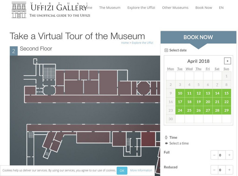
Virtual Uffizi Gallery: Take a Virtual Tour of the Museum
See the artwork located in the Uffizi Gallery in Florence, Italy. This resource brings the images to you. Just click on the room or topic and see background information and a link to the image.
E-learning for Kids
E Learning for Kids: Science: Italy: How Are Magnets Made?
Paolo works in a Pizzeria. He is trying to make his own magnets. Join him and help him learn.
E-learning for Kids
E Learning for Kids: Science: Italy: How Can We Separate Solid Mixtures?
Help Rozalia clean her Pizzeria kitchen by using different methods to sort out mixtures.
Curated OER
Map of Italy and Sicily.
Illustrated dictionary entry over Etruria, Italy. Describes the location of the city, minerals found, and the inhabitants of the area. Provides a brief description of the history behind the famous Italian city.
Other popular searches
- Blank Map of Italy
- Italy Outline Map
- Choropleth Map of Italy
- Choropleth Map for Italy
- Physical Map of Italy
- Landforms Map of Italy
- Worksheet Map of Italy
- Printable Map of Italy
- Outline Map of Italy
- Primary Map of Italy
- Italy Map
- Unification of Italy Map


