Read Works
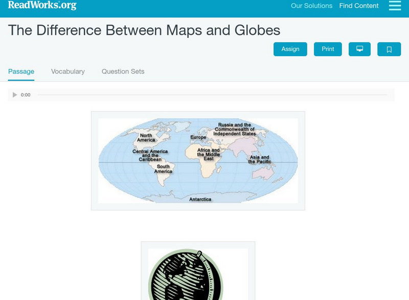
Read Works: The Difference Between Maps and Globes
[Free Registration/Login Required] This informational text passage shares the difference between maps and globes. This passage is a stand-alone curricular piece that reinforces essential reading skills and strategies and establishes...
Other
Reach the World: Geogames Build Planet Earth
Practice your mapping skills with Build Planet Earth! This animated 3D globe challenges players to locate the Poles, continents, countries, and cities. Colorful graphics and sound effects as well as a teacher's lesson plan are included.
National Geographic
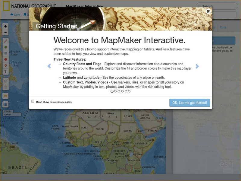
National Geographic: Mapmaker Interactive
Interactive map maker in which students can manipulate world maps adding layers and data with multiple sources of information.
American Geosciences Institute
American Geosciences Institute: Earth Science Week: Exploring Color Maps
An activity where learners study the Ozone Hole poster used that brings together colorful images of over 30 years of satellite observations of the ozone hole. Students interpret the color on the globes to see how the ozone hole has...
SMART Technologies
Smart: Final Project Map Skills
This lessons explores the different ways we can view our world along with the different parts of a map or globe.
Social Studies for Kids
Social Studies for Kids: Latitude and Longitude
A collection of latitude and longitude mapping activities ranging from pin-pointing exact locations on the globe to researching the history behind this basic geography concept.
Curated OER
1846 Globe
This online lesson plan shows students through primary sources how the borders of the U.S. changed in just a few years. They are asked to analyze maps and use map skills. All maps and worksheets are included as well as additional resources.
Geographyiq
Geography Iq
Detailed geographical information on any country is available at this site. Within the World Map section, you can get facts and figures about each country's geography, demographics, government, political system, flags, historical and...
Institute for Dynamic Educational Advancement
Web Exhibits: Sir Sanford Fleming (1827 1915)
Here you will find the story of how and why time zones came about and the Canadian who developed the system that has become so important around the world. Be sure to read the "Incidents and Anecdotes" section to find interesting facts...


