Curated OER
Corps of Discovery
Students assess their knowledge of the Corps of Discovery through a written pretest, follow the journey of Lewis and Clark on the internet, record data on events, dates, places, people, animals, distance traveled, and geographic...
PBS
Pbs Learning Media: Writing in u.s. History: The Louisiana Purchase
Explore the motivations for the Louisiana Purchase, as well as the terms of the purchase and its consequences. In this interactive lesson from WGBH, students develop a written argument in response to the question "Do you agree that the...
US National Archives
Nara: Charters of Freedom: Westward Expansion: Louisiana Purchase
Primary source material and informational text on the Louisiana Purchase.
iCivics
I Civics: Louisiana Purchase (1803)
In this map-based lesson, students learn the historic importance of the Mississippi River, why the U.S. was determined to maintain access, and how the United States acquired the land that made up the Louisiana Purchase.
Other
Gateway New Orleans: Louisiana Purchase
Read a description of the terms of the Louisiana Purchase. There is a map to show the land that was included in this deal.
Read Works
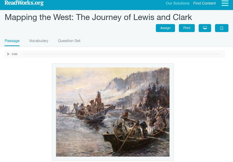
Read Works: Mapping the West: The Journey of Lewis and Clark
[Free Registration/Login Required] An informational text about Lewis and Clark exploring the Louisiana Purchase. A question sheet is available to help students build skills in reading comprehension.
Other
The Smithsonian: Lewis & Clark: Mapping the West
The Smithsonian's EdGate project provides this illustrated narrative site that explores the mapping of the American West accomplished by the 1804-06 Lewis and Clark expedition.
University of Chicago
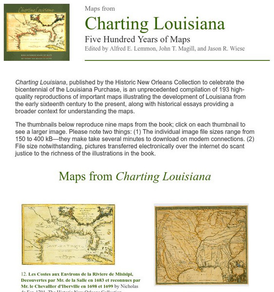
University of Chicago Press: Historic Maps of Louisiana
Features nine maps that represent examples of the one hundred ninety three included in the book "Charting Louisiana" that highlights the history of Louisiana from the sixteenth century to the present. Each map includes an essay for...
US Mint
U.s. Mint: Let's Build a Map [Pdf]
In this four-part lesson, students study the map of the Louisiana Purchase and the trail of Lewis and Clark's Expedition. Then, build a classroom map displaying the events of the Westward Expansion.
University of Oregon
Mapping History Project: Territorial Expansion of the u.s. 1783 1853
Click on the sliding bar and watch how the United States territory grew with the Louisiana Purchase, Florida Acquisitions, Texas Annexation, Oregon Country, and Mexican Cession.
Other
The Story of the Us Told in 141 Maps
This collection of United States maps includes a year-by-year. Beginning from the Declaration of Independence and extending to present-day, students will learn explore and interact with these maps that change year-by-year.
US National Archives
Docsteach: Lewis & Clark's Expedition to the Complex West
This activity can be used as an introduction or for a closer study of the Lewis & Clark Expedition. Students will learn that the United States purchased the Louisiana Territory in 1803 and President Thomas Jefferson sent Lewis and...
Huntington Library
Huntington Library: The Corps of Discovery: The Lewis and Clark Expedition [Pdf]
In this lesson, 5th graders learn about westward expansion and the Lewis and Clark expedition. Includes background information for the teacher. Students explore primary and secondary resource readings on the Louisiana Purchase, President...
Annenberg Foundation
Annenberg Learner: United States History Map: The Nation Expands
After examining a map showing the expansion of the United States, click to read about each addition to the country and see where that addition is. Play Expansion Concentration to test your skills.
University of Oregon
Mapping History Project: Missouri Compromise: 1820
Interactive map showing free states and territories and slave states and territories before and after the Missouri Compromise of 1820. Click on the map to choose before or after and the key. Shockwave required.
Other
U.s. Genealogy Map Project: u.s. Border/land Claims 1804 1823
A great map and a list of the acquisitions and border changes of the United States from 1804 to 1823. A concise resource showing Western expansion.
Annenberg Foundation
Annenberg Learner: u.s. History Map Interactive
Become a geography whiz as you learn how the United States was settled. Discover how the continent was irrevocably changed by European colonization, the events that caused the wholesale displacement and decimation of the land's original...
Curated OER
Etc: Maps Etc: The Expansion Resulting From the Louisiana Purchase, 1803
A base map showing the expansion of the United States resulting from the Louisiana Purchase in 1803.
Curated OER
Etc: The Territory of the Us Before and After the Louisiana Purchase, 1783 1803
A map of the United States showing the extent of the country prior to, and after the Louisiana Purchase from France in 1803.
Pennsylvania Historical and Museum Comission
Explore Pa History: Lewis and Clark in Pennsylvania
Discover the role Lewis and Clark played in history of Pennsylvania in this detailed account. Contained within this site are links to video, maps, and pictorial images of this era.
Curated OER
Educational Technology Clearinghouse: Maps Etc: The Louisiana Purchase, 1803
A map of the Louisiana territory purchased from France in 1803, and the boundary established with the western Spanish territory by the purchase. The map overlays the current State boundaries to show the extent of the territory.
Curated OER
Etc: The Louisiana Purchase, 1803 1809
A map of the United States and the Louisiana Territory showing boundary disputes and boundary claims between 1763 and 1809. The map shows the natural boundaries and extent of the original Louisiana Territory claimed by the French, the...
Curated OER
Educational Technology Clearinghouse: Maps Etc: Louisiana Purchase, 1803
A map of the Louisiana territory purchased from France in 1803, and the boundary established with the western Spanish territory by the purchase.
Curated OER
Etc: The Louisiana Purchase, 1865 1898
A map of the Louisiana territory purchased from France in 1803, and the boundary established with the western Spanish territory by the purchase. The map overlays the current State boundaries to show the extent of the territory.


![U.s. Mint: Let's Build a Map [Pdf] Lesson Plan U.s. Mint: Let's Build a Map [Pdf] Lesson Plan](https://content.lessonplanet.com/knovation/original/249029-024660939f27fa1ea8589c5fba13f0e6.jpg?1661243095)


