Curated OER
Etc: Maps Etc: Plan of Ancient Rome, 753 Bc to Ad 663
A plan of Ancient Rome, as published by the Society for the Diffusion of Useful Knowledge.
Other
Kingsnake: Vipera Aspis
Distributed throughout Europe, the Vipera aspis, is a venomous snake that preys mostly on rodents and lizards. Distribution map of Italy, pictures, and dimensions are included.
Other
Rome Tourism: Rome Info
Rome Tourism presents a look at the city of Rome, Italy! From the many historic sights and attractions to the Vatican to maps and basic facts about Rome. Useful for a student researcher or a tourist to the area.
United Nations
Unesco: Syracuse and the Rocky Necropolis of Pantalica
This World Heritage website features ancient Syracuse and the Necropolis of Pantalica, located in Italy. The Necropolis has over 5000 tombs from the 13th to 7th centuries BC, and ancient Syracuse encompasses Ortygia, which was founded by...
Enchanted Learning
Enchanted Learning: Marco Polo
A brief account of the voyages and travels undertaken by Marco Polo who was one of the first Europeans to travel from Italy across Asia to China.
Curated OER
Etc: Rome & Carthage End of the Second Punic War, 218 201 Bc
A map of Rome and Carthage during the Second Punic War (218-201 BC). This map is color-coded to show the extent of the Roman Empire in yellow and the Carthaginian territory in pink. At this time, the Roman Empire was primarily restricted...
Curated OER
Etc: Plan of San Ambrogio, 1000 1200
This is a plan of the church of San Ambrogio, Italy. This is an example of Italian Lombard Romanesque architecture. This church represents the "earliest [example] of the solution of the great problem which was exercising the minds of the...
Curated OER
Etc: Plan of St Mark's, Venice, Ad 929 1063
This is a plan of the St Mark's, in Venice, Italy. Erected AD 929 to 1063. This is an example of Italian Byzantine Romanesque architecture. This church was created in order to "reproduce in some way the leading features of the church of...
Curated OER
Etc: Plan of San Michele, Pavia, 1000 1200
This is a plan of the San Michele, Pavia, Italy. This is an example of Italian Lombard Romanesque architecture. This church represents the "earliest [example] of the solution of the great problem which was exercising the minds of the...
Curated OER
Etc: Plan of San Vitale, Ravenna, Ad 539 547
This is a plan of the San Vitale in Ravenna, Italy. It was built from 539 to 547 AD. This is an example of Early Christian architecture. The scale is in feet.
Curated OER
Etc: Plan of the Campanile De Pisa, 1068 1509
This is the plan of the Campanile and Cathedral in Pisa, Italy. This is an example of Italian Central Romanesque architecture. Furthermore it is an example of a Pisan Church. The Campanile, or Leaning Tower was erected from 1174 to 1350....
Curated OER
Etc: Rome and Carthage on the Eve of and During the First Punic War, 264 241 Bc
A map of Rome and Carthage during the First Punic War (264-241 BC). This map is color-coded to show the extent of the Roman Empire in yellow and the Carthaginian territory in pink. At the beginning of the war, the Roman Empire covered...
Curated OER
Etc: Rome and the Samnites, 343 290 Bc
Map of the vicinity of Rome showing the area claimed by the Samnites and the Greek city south of Rome: Capua.
Curated OER
Etc: Syracuse at the Time of the Siege, 415 413 Bc
A map of the Greek city-state of Syracuse at the time of the siege by Athens during the Peloponnesian War (415-413 B.
Other
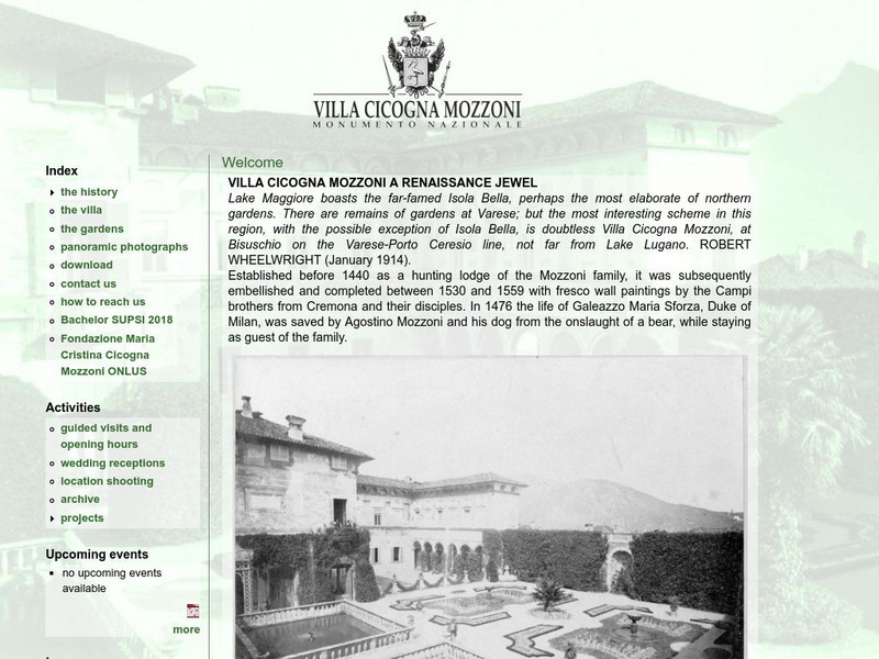
Villa Cicogna Mozzoni: A Renaissance Jewel
Learn about the renaissance villa on Lake Maggiore and Italian national monument site, the Villa Cicogna Mozzoni, in the main web-page for the villa. Full of historical information, maps, and photos.
Curated OER
Geology.com: Ireland Map Ireland Satellite Image
Check out this great satellite image of Italy from Google Earth. Scroll past the informative political map to see the image. There is more information about the country below the satellite map.
Nations Online Project
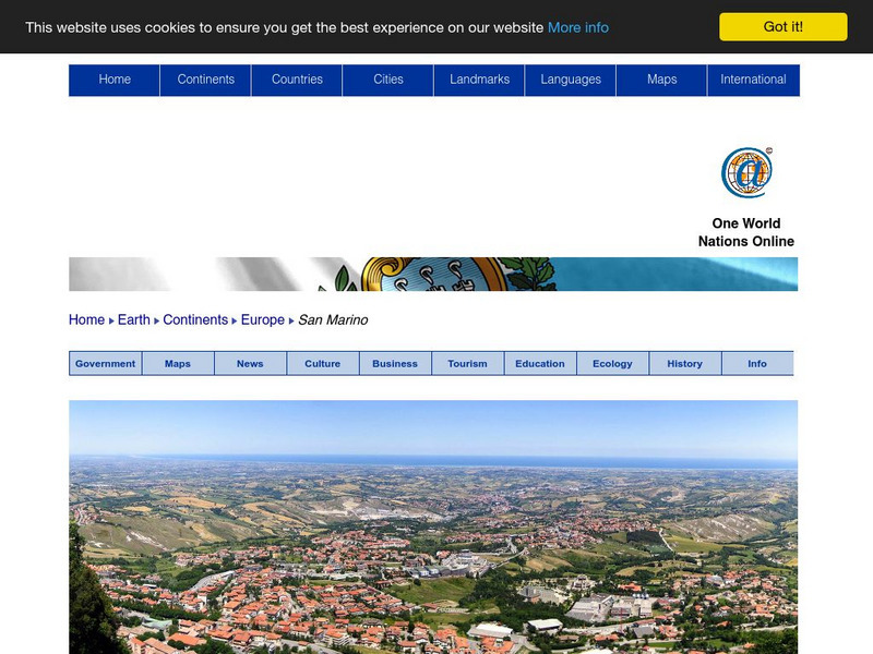
Nations Online: San Marino
Offers a travel guide and country profile of the tiny South European nation of San Marino including basic facts and numerous links to comprehensive information on the islands' culture, history, geography, economy, environment,...
Curated OER
Map 40: Southern Approaches to Europe
HIghlights the military strategy of the United States during World War II in fighting Germany and Italy.
Curated OER
Map 41: Northern Europe
HIghlights the military strategy of the United States during World War II in fighting Germany and Italy.
E-learning for Kids
E Learning for Kids: Science: Pizza Restaurant: Why Must We Save Electricity?
Clara is on holiday in Italy and is finding out about electricity. Join her to learn about saving electricity.
J. Paul Getty Trust
J. Paul Getty Museum: The Herculaneum Women and the Origins of Archaeology
Website for the 2007 exhibit The Herculaneum Women and the Origins of Archaeology at the Getty Museum. Describes how the discovery of three marble statues in Italy in the 1700s led to centuries of archaeological exploration in the area....
Curated OER
Kingsnake: Vipera Aspis
Distributed throughout Europe, the Vipera aspis, is a venomous snake that preys mostly on rodents and lizards. Distribution map of Italy, pictures, and dimensions are included.
Other
Vatican Museums
This is a gem of a site. Each of the Vatican Museums is listed and explored in detail. There is an abundance of general and specific information here.
Other popular searches
- Blank Map of Italy
- Italy Outline Map
- Choropleth Map of Italy
- Choropleth Map for Italy
- Physical Map of Italy
- Landforms Map of Italy
- Worksheet Map of Italy
- Printable Map of Italy
- Outline Map of Italy
- Primary Map of Italy
- Italy Map
- Unification of Italy Map


