Curated OER
Effects Of Natural Disasters On Environment
Students investigate the concept of how natural disasters effect the environment. They conduct research using a variety of resources. They are given a scenario that needs a defensive speech. Students take a position and defend it by...
Cayuse Canyon
The Us50: Hawaii
Presents extensive information regarding Hawaii's history, famous people, cities, geography, state parks, tourism and historic sites. A fact sheet of information and a quiz are also available.
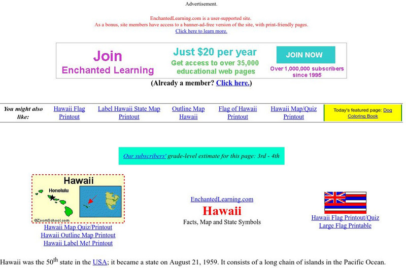
Enchanted Learning
Enchanted Learning: Hawaii Facts, Map, and State Symbols
This is a colorful collection of maps, facts and symbols of Hawaii. Also includes the Hawaiian flag.
Johns Hopkins University
The Johns Hopkins University: Hawaii State Maps
At this site from The Johns Hopkins University Applied Physics Laboratory, you can learn more about the island state in the Pacific Ocean. Hawaii has several interesting landforms. Find out more about Hawaii by checking out this website.
Other
Hawaii Department of Education: Homepage
Plenty of information here at the Hawaii Department of Education to enlighten both teachers and parents. In addition to the expected links to such areas as test scores, school goals and philosophy, and job opportunities, you will find...
University of Oregon
Mapping History: American History
Interactive and animated maps and timelines of historical events and time periods in American history from pre-European times until post-World War II.
University of Hawai'i
University of Hawaii: Time Zones
This site is provided for by the University of Hawaii. Students will learn about the purpose of time zones and then use time zone maps to calculate the time and day in a specific area.
E-learning for Kids
E Learning for Kids: Science: Hawaii: What Are the Life Processes in Animals?
Kamoku is a boy from Hawaii who is interested in the seven life processes. Do you know what these are? Join Kamoku and discover them with him.
Curated OER
Educational Technology Clearinghouse: Maps Etc: Hawaii, 1920
A map from 1920 of the Hawaiian Islands showing the eight main islands of Hawaii, Maui, Kahoolawe, Lanai, Molokai, Oahu, and in the inset Kauai and Niihau, the capital of Honolulu on the island of Oahu, cities, towns, ports, railroads,...
Curated OER
Educational Technology Clearinghouse: Maps Etc: Hawaii, 1920
A map from 1920 of the Hawaiian Islands showing the capital of Honolulu on the island of Oahu, cities, towns, ports, district boundaries, railroads, submarine cable routes, volcanoes, and coastal features. The map is color-coded to show...
Curated OER
Educational Technology Clearinghouse: Maps Etc: Hawaii, 1919
A map from 1919 of the Hawaiian Islands showing the eight main islands of Hawaii, Maui, Kahoolawe, Lanai, Molokai, Oahu, Kauai, and Niihau, the capital of Honolulu on the island of Oahu, cities, towns, ports, railroads, submarine cable...
Curated OER
Educational Technology Clearinghouse: Maps Etc: Hawaii, 1912
A map from 1922 of the Hawaiian Islands showing the eight main islands of Hawaii, Maui, Kahoolawe, Lanai, Molokai, Oahu, and in the inset Kauai and Niihau, the capital of Honolulu on the island of Oahu, cities, towns, ports, railroads,...
Curated OER
Educational Technology Clearinghouse: Maps Etc: Hawaii, 1922
A map from 1922 of the Hawaiian Islands showing the eight main islands of Hawaii, Maui, Kahoolawe, Lanai, Molokai, Oahu, and in the inset Kauai and Niihau, the capital of Honolulu on the island of Oahu, cities, towns, ports, railroads,...
Curated OER
Educational Technology Clearinghouse: Maps Etc: Hawaii, 1899
A map from 1899 of the Hawaiian Islands showing the main islands, cities, towns, ports, principal steamship routes from Honolulu with distances to other ports given, volcanoes, terrain, and coastal features. The inset map shows the...
Curated OER
Educational Technology Clearinghouse: Maps Etc: Hawaii, 1901
A map from 1901 of the Hawaiian Islands showing the main islands, cities, towns, ports, principal steamship routes from Honolulu with distances to other ports given, volcanoes, terrain, and coastal features. The inset map shows the...
Curated OER
Educational Technology Clearinghouse: Maps Etc: Hawaii, 1920
A map from 1920 of the Hawaiian Islands showing the main islands, the capital of Honolulu on the island of Oahu, district boundaries, cities, towns, ports, railroads, principal steamship lines, submarine cable routes, terrain, and...
Curated OER
Educational Technology Clearinghouse: Maps Etc: Hawaii, 1914
A map from 1914 of the Hawaiian Islands showing the main islands, the capital of Honolulu on the island of Oahu, district boundaries, cities, towns, ports, railroads, principal steamship lines, submarine cable routes, terrain, and...
University of Oregon
University of Oregon: Mapping History: Alaska and Hawaii
On this map you can see Alaska and Hawaii in relation to the contiguous United States and read brief text about their purchase/annexation, territorial status, and addition as states.
The Newberry Library
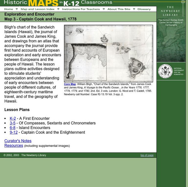
Newberry: Exploration and Encounter: Map 3, Captain Cook and Hawaii, 1778
Map and primary source information provide first-hand account of exploration and encounters between Europeans and Hawaiians. Includes lesson plans for k-12, links to reference material and supplemental resources, and curators notes.
University of Hawai'i
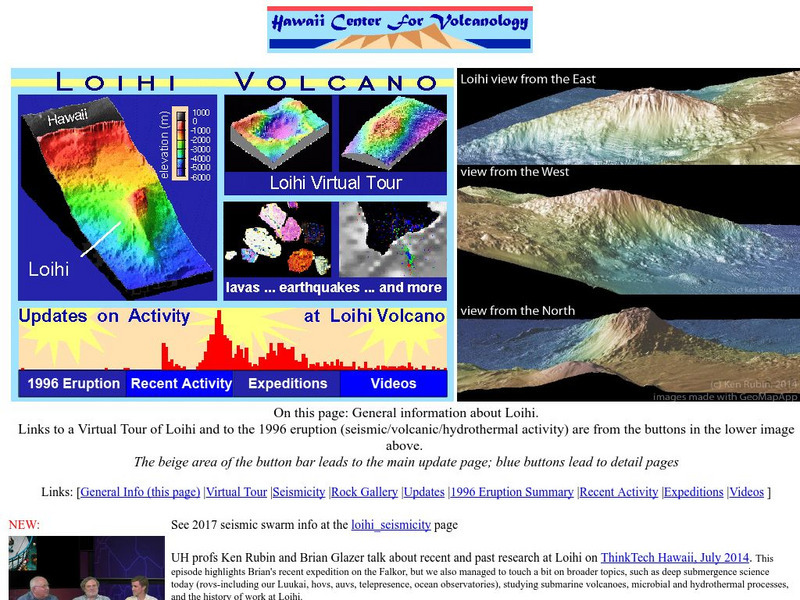
Hawaii Center for Volcanology: Loihi
Loihi is believed to be one of the youngest volcanoes in the Hawaiian chain. You can view elevation maps and even take a virtual tour.
World Geography Games
World Geography Games: Hawaii: Islands
Identify each island in Hawaii on a map as its name is presented.
CRW Flags
Flags of the World: Clickable Map of the United States
Includes both printable images and fascinating trivia behind the flag of each state. It includes alternate flags used in the past.
US Geological Survey
Living on Active Volcanoes on Hawaii
Living on the island of Hawaii brings you the hazard of living near a volcano. Read about actual eruptions and get scientific seismic information and maps.
Curated OER
Educational Technology Clearinghouse: Maps Etc: Hawaiian Islands, 1906
A map from 1906 of the Hawaiian Islands showing the main islands of Hawaii, Maui, Kahoolawe, Lanai, Molokai, Oahu, Kauai and Niihau, cities, towns, ports, volcanoes, terrain, and coastal features. The inset map shows the western islands...
Other popular searches
- Detailed Map of Hawaii
- Map of Hawaii Cities
- Map of Hawaii Citeis
- Hawaii Agriculture Map
- Map of Hawaii Imperialism


