Curated OER
Etc: Maps Etc: Hawaiian Islands (Sandwich Islands), 1906
A map from 1906 of the Hawaiian Islands or Sandwich Islands, showing the main islands, towns, ports, volcanoes, terrain, and coastal features. An inset map details the capital Honolulu.
Curated OER
Etc: Maps Etc: Hawaiian Islands (Sandwich Islands), 1920
A map from 1920 of the Hawaiian Islands or Sandwich Islands, showing the main islands, towns, ports, volcanoes, terrain, and coastal features. An inset map details the capital Honolulu and Quarantine Island.
Curated OER
Educational Technology Clearinghouse: Maps Etc: Hawaiian Islands, 1902
A map from 1902 of the Hawaiian Islands showing the main islands, towns, ports, volcanoes, terrain, and coastal features. An inset map details Honolulu and the Punchbowl.
Curated OER
Educational Technology Clearinghouse: Maps Etc: Hawaiian Islands, 1899
A map from 1899 of the Hawaiian Islands showing the main islands, towns, ports, volcanoes, terrain, and coastal features.
Curated OER
Educational Technology Clearinghouse: Maps Etc: Northwest Hawaiian Islands, 1920
A map from 1920 of the northwest Hawaiian Islands of Kauai and Niihau, showing towns and ports, submarine cable routes, and the terrain and coastal features of the islands.
E-learning for Kids
E Learning for Kids: Science: Hawaii: What Are the Life Cycles of Some Animals?
Olina is playing on the beach with the animals. Join her and find out more about life cycles and animals?
E-learning for Kids
E Learning for Kids: Science: Hawaii: What Makes Up Our Respiratory System?
Run a race with Sandra and learn what our respiratory system is and how it functions.
E-learning for Kids
E Learning for Kids: Science: Hawaii: What Happens in the Life Cycle of a Flowering Plant?
Sophie and Max are growing plants in their greenhouse. Join them, and learn about the life cycle of a plant.
E-learning for Kids
E Learning for Kids: Science: Hawaii Tiki Lounge: How Can We Protect Our Senses?
Learn about the five senses and how to protect them from harm.
E-learning for Kids
E Learning for Kids: Science: Hawaii: What Can We Find in a Garden?
Daisy is learning all about the animals and plants that live in her beautiful garden. Join her and learn about habitats, too.
Other
Expansion in the Pacific: Footholds in the Pacific
Good description of 19th century Hawaiian history and its annexation by the U.S., with links to related maps, pictures, and treaties.
Curated OER
Educational Technology Clearinghouse: Maps Etc: Philippine Islands, 1902
A map from 1902 of the Philippine Islands, showing the provinces at the time, major cities and ports, railroads on Luzon, rivers, terrain, and coastal features. The divisions of Luzon are numbered and listed on the map. Inset maps detail...
Curated OER
Educational Technology Clearinghouse: Maps Etc: United States, 1917
A map of the United States and territories showing the expansion from the formation of the original states to the purchase of the Danish West Indies (Virgin Islands) in 1917. The map is color-coded to show the original states, the states...
Curated OER
Etc: Maps Etc: Territories of the United States, 1900
A map from 1909 showing territories added to the United States: Alaska (1867), Hawaii by annexation (1898), and Puerto Rico and the Philippines after the Spanish-American War (1898).
ClassFlow
Class Flow: The Mahele of 1848
[Free Registration/Login Required] This flipchart describes The Mahele of 1848, an important event in Hawaiian history. Activities that encourage student involvement include graphic organizers, a map activity, and Activote questions.
A&E Television
History.com: The States
Learn unique facts about each American state. You can also read a more in-depth history of each state, watch videos and play a game about all the states.
Kidport
Kidport: United States of America Geography
This site contains a fun way to learn about the states within the United States. Click on the state that you want to learn more about and it provides facts, geographic landmarks, points of interest, major industries, a quiz and more.
US Geological Survey
U.s. Geological Survey: Haleakala Crater and the East Maui Volcano
Information from USGS about the Haleakala Crater and the East Maui volcano, including the volcano's eruptive history, maps of the crater, and geologic data sets.
Other
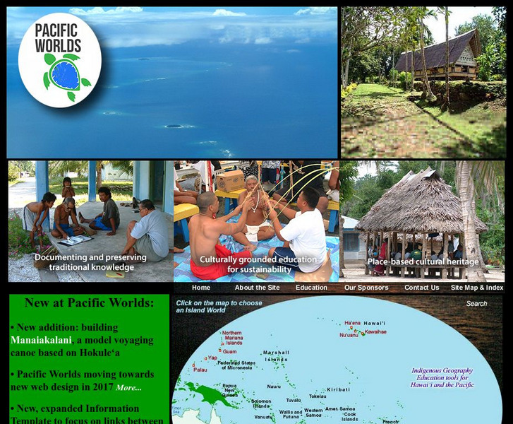
Pacific Worlds
Choose a location on the map and take a journey to a Pacific Island to gain a better understanding of its culture, geography, and environment. Some islands to explore include Hawaii, Guam, Yap, and Palau.
Curated OER
Hawaii Center for Volcanology: Loihi
Loihi is believed to be one of the youngest volcanoes in the Hawaiian chain. You can view elevation maps and even take a virtual tour.
Curated OER
Hawaii Center for Volcanology: Loihi
Loihi is believed to be one of the youngest volcanoes in the Hawaiian chain. You can view elevation maps and even take a virtual tour.
Curated OER
Hoefen Et Al. Olivine Mars Map
Olivine-bearing rocks, similar to those found in Hawaii, have been found on Mars. Use this site to learn more about what has been found on Mars.
Other popular searches
- Detailed Map of Hawaii
- Map of Hawaii Cities
- Map of Hawaii Citeis
- Hawaii Agriculture Map
- Map of Hawaii Imperialism


