Curated OER
Etc: Maps Etc: Sea of Gennesareth or Galilee, 1881
A map from 1881 of the Sea of Gennesareth, also known as the Sea of Galilee or Lake Tiberias, the largest freshwater lake in Israel. The map shows the cities and towns on the shores of the lake, roads, terrain features, rivers and...
Curated OER
Educational Technology Clearinghouse: Maps Etc: Jerusalem, 1881
A map from 1881 of Jerusalem, showing historical sites within the city walls, important city gates, roads, and neighboring sites, including David's Tomb, Mount of Olives and the Russian Property (Russian Orthodox Church compound) to the...
Curated OER
Educational Technology Clearinghouse: Maps Etc: Holy Land, 1910
A map from 1910 of the Holy Land, generally referred to as the geographical region of the Levant. This map shows the territories of Upper Galilee, Lower Galilee, Decapolis, Samaria, Perea, Judaea, and Idumaea, and shows major cities,...
Curated OER
Educational Technology Clearinghouse: Maps Etc: Palestine, 1916
A map from 1916 of Palestine as it was recognized at the time.
Curated OER
Educational Technology Clearinghouse: Maps Etc: Jerusalem, 1903
A plan from 1903 for city of modern Jerusalem, showing prominent churches, hospitals, and religious monuments. The map shows the Armenian Quarter, Jewish Quarter, Moslem Quarter, and Christian Quarter of the city within the walls,...
New York Times
New York Times: Interactive Graphic: Attacks, Day by Day
This resource presents an interactive map that shows the day by day attacks that have occurred in Lebanon, Israel, and the Gaza Strip. Ot provides information about each attack, when/where it occurred, and gives information about by how...
Other
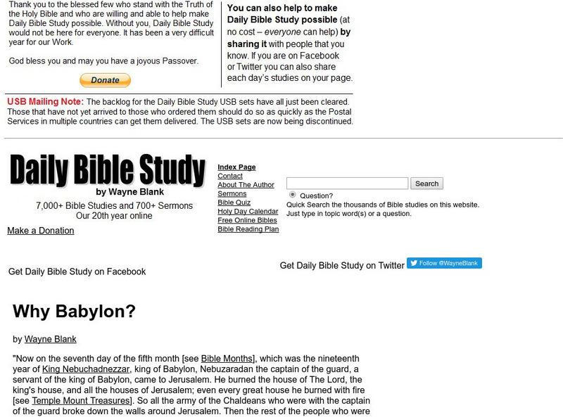
Key Way: Why Babylon?
Describes the fall of Israel and Judah to the Babylonians in 721 BC, and 586 BC. Includes map.
American-Israeli Cooperative Enterprise
Jewish Virtual Library: The Line of June 4, 1967
Discusses the history of the demarcation lines between Israel and Syria--lines which in part caused the June War.
Harry S. Truman Library and Museum
Harry S. Truman Library and Museum: Un Resolution 181: 1947 Partition
The map shows the partition of Israel according to UN Resolution 181 in 1947.
Other
Le Monde Diplomatique: The First Arab Israeli War (1948 1949)
This site provides maps of the attacks and counter-attacks during the First Arab-Israeli War.
Curated OER
Etc: Maps Etc: Palestine, With Detail of Old Jerusalem, 1915
Ancient Palestine, with an inset of Old Jerusalem, intended for use in Bible studies.
Curated OER
Educational Technology Clearinghouse: Maps Etc: Ancient Jerusalem, Around Ad 100
A plan of ancient Jerusalem around AD 100, showing the walls of the city and places of historic interest.
Curated OER
Etc: Maps Etc: Jerusalem in Nehemiah's Time, Around Ad 35
A plan of ancient Jerusalem at the time of Nehemiah and of the Gospels, showing the walls of the city and places of historic interest. - Smith, 1911.
Curated OER
Israel
A comprehensive report on the food of Israel. This site contains a detailed description of food history, food for religious and holiday celebrations, mealtime customs as well as many recipes!
American-Israeli Cooperative Enterprise
Jewish Virtual Library: The Partition Plan
The background for creating a plan to partition Palestine, as well as the details of the plan itself and its effects are discussed.
BBC
Bbc: News: Regions and Territories: Golan Heights Profile
Provides historical background on the Golan Heights with emphasis on the conflict between Syria and Israel. Includes a map and links to recent news articles. Updated January 2008.
American-Israeli Cooperative Enterprise
Jewish Virtual Library: Israeli Population Statistics Table
A table sorting population demographics by religion, age, and urban centers.
Curated OER
Etc: Land of the Hebrews, 971 931 Bc
A map of the Hebrew lands in the time of King Solomon, around 971 to 931 BC. The map shows the land of Canaan, with the boundaries of Phoenicia, Israel, Philistia, and Judah, the important coastal cities of Sidon, Tyre, Joppa, Ashdod,...
Luther Seminary
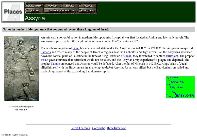
Bible Tutor: Assyria
Bible Tutor offers a brief description of the location and history of Assyria. Inlcudes image and map.
Encyclopedia of Earth
Encyclopedia of Earth: West Bank
The Encyclopedia of Earth provides an overview of West Bank, including its geography, natural resources, history, government, economy, and much more. Maps and images are also included, along with sources used to create the entry.
American-Israeli Cooperative Enterprise
Jewish Virtual Library: The Golan Heights
Information on the Golan Heights includes: an overview of the geography, geology, maps, statistics, and history. Also, a section on the Golan Heights Law of December 14, 1981 is included. Please know that some statistical information may...
Nations Online Project
Nations Online: Palestine
Great reference guide that takes you on a virtual trip to the Middle East nation of Palestine. Background overview is given on its art, culture, people, environment, geography, history, tourism, economy, and government. There are...
Geographypods
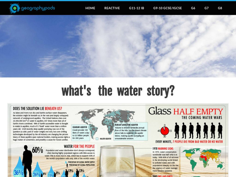
Geographypods:freshwater: Issues and Conflicts: Competing Demands for Freshwater
This learning module examines conflicting demands for fresh water around the world. It looks at the water resources that are available, water scarcity, and local and international conflicts over water. Specific cases are explored,...
Other popular searches
- Israel Map
- Israel Map Activity
- Ancient Israel Map
- Israel Palestine Map
- Ancient Israel Map Label
- Middle East Israel Map
- Israel Climate Map
- Israel Interactive Map


