Other
Italian Tourism: Discover Italy
Take a visual tour through the sights and regions of Italy. Click on the interactive map or a photo to access detailed information from throughout the country.
University of Calgary
U Calgary: Italy During the Decline of the Etruscan League and the Rise of Rome
A map showing the relative small size of Rome in relation to its neighbors in 380 BC. The Greek colonies are shown at the foot of the boot of Italy, the Etruscan League is to the north and the Italic Tribes to the east.
University of Oregon
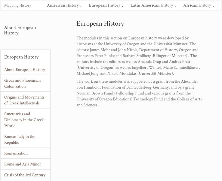
Mapping History: European History
Interactive and animated maps and timelines of historical events and time periods in European history from Greek and Phoenician colonization up to the 20th century.
Curated OER
Map of Italy
This is an online resource for information on Italy. The site includes a map and flag, government, population, languages, communications, economic summary, and a history of the country.
Curated OER
Educational Technology Clearinghouse: Maps Etc: Italy, 1914
A map of the Kingdom of Italy in 1914 subtitled "Made One Nation." This map shows the unification of Italy with dates and notations for annexation to the Kingdom of Sardinia (the founding state, which became the Kingdom of Italy in...
Curated OER
Educational Technology Clearinghouse: Maps Etc: Italy and San Marino, 1906
A map from 1906 of Italy, San Marino, and the islands of Corsica, Sardinia, and Sicily. The map shows provinces, principal cities and towns, railroads, mountains, rivers, and coastal features. An inset map details the Bay of Naples.
Curated OER
Etc: Maps Etc: Italy Divided by Augustus Into Eleven Regions, 7 Bc
A map of Roman Italy, or Italia in 7 BC, when, according to Pliny the Elder, Augustus Caesar divided Italia into eleven regions (regiones), Latium et Campania (I), Apulia et Calabria (II), Lucania et Brutii (III), Samnium (IV), Picenum...
Curated OER
Etc: Maps Etc: Italy in the Eighteenth Century, 1770
"Indeed, there was no Italy, no united, single country, but only a collection of petty states.
Curated OER
Educational Technology Clearinghouse: Maps Etc: Italy, 1914 1919
A map from 1919 of Italy shortly after World War I. The map shows the 17 political divisions or Compartimenti, and the 69 provinces, and the northern boundaries at the time, including the territories of Trentino, Gorizia, Istria, and...
Encyclopedia of Earth
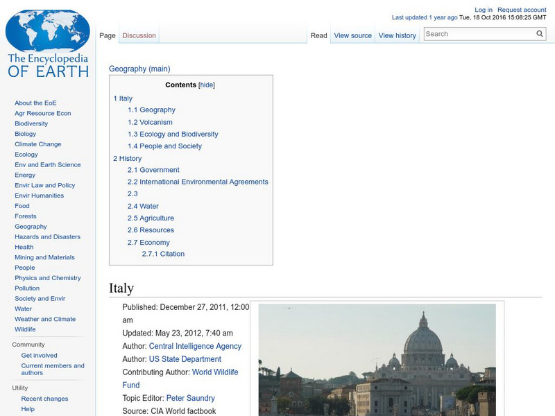
Encyclopedia of Earth: Italy
The Encyclopedia of Earth provides an overview of Italy, including its geography, natural resources, history, government, economy, and much more. Maps and images are also included, along with sources used to create the entry.
United Nations
Unesco: Longobards in Italy: Places of Power (568 774 Ad)
The Longoboards buildings reflect the accomplishments of the Lombards, a Germanic culture originally from northern Europe. These early medieval buildings are located across the Italian Peninsula and date from the 6th to 8th centuries....
BBC
Bbc History: Animated Map: The Italian Campaign
This animated map gives a good visual of the Italian Campaign which began in Sicily in 1943. Each map has a description of the action, a key is provided, and just the map animation can be replayed, or view the entire site again.
Forum Romanum
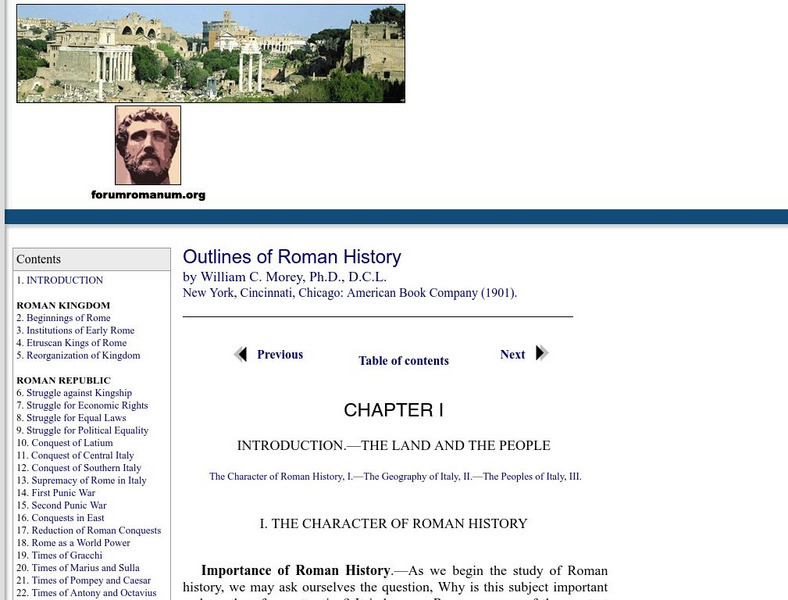
Outlines of Roman History: Introduction the Land and the People
This is the introductory chapter of Morey's 1901 textbook on Roman History. It sets out the geography of Italy and the Italic tribes who lived there. The text is old, but surprisingly easy to read and packs in a lot of information.
Curated OER
Etc: Italy During the War With Naples , 1798 1799
Map of Italy in 1799, subtitled "The War with Naples 1798-9." The map shows Italy at the time when the Kingdom of Naples briefly became the French-supported Parthenopaean Republic from January to June, 1799. The map shows the territory...
Curated OER
Etc: Maps Etc: Italia Up to the Time of Augustus, 27 Bc
A map of Italy prior to the ascension of Augustus Caesar in 27 BC. The map shows the Roman territories of the peninsula south of the Alps and east of the River Varus (Var), and includes the islands of Corsica, Sardinia, and Sicily, the...
Franco Cavazzi
Roman empire.net: Roman Italy Map
This site from Roman-Empire.net is an interactive map of Roman Italy. Areas, Regions, Tribes, Towns, Cities, Rivers, Lakes, and Mountains can be searched for with pull-down menus.
Curated OER
Educational Technology Clearinghouse: Maps Etc: Northern Italy, 1796 1797
A map of Northern Italy in 1796-1797 during the French Revolutionary Wars, subtitled "Bonaparte's Campaign." This map shows the Piedmont locations of Montenotte (1796) northeast of Nice, Dego, and Mondovi near Turin, the Po River...
Curated OER
Educational Technology Clearinghouse: Maps Etc: Ancient Italy, 753 Bc to Ad 663
A map of ancient Italy subtitled "Places noted in the History of its Literature." This map shows the districts of Cisalpine Gaul, Umbria, and Etruria, the islands of Corsica, Sardinia, and Sicily, major cities, rivers, seas, and mountain...
Curated OER
Educational Technology Clearinghouse: Maps Etc: Ancient Italy, Circa 800 Bc
Map of Ancient Italy with the neighboring countries subject to the Romans. This map shows the names of provinces in Latin, including Etruria, Latium, Campania, Umbria, Picenum, Samnium, Apulia, Calabria, Lucania, and Ager, with...
Curated OER
Educational Technology Clearinghouse: Maps Etc: Northern Italy, 1701 1763
Map of Northern Italy, subtitled "Wars of the Eighteenth Century 1701-1763." This map shows several battle sites during the War of the Spanish Succession (1701-1714) and the War of the Austrian Succession (1740-1748).
Curated OER
Educational Technology Clearinghouse: Maps Etc: Ancient Italy, 509 Bc to Ad 476
A map of ancient Italy showing the early provinces and principal cities.
Curated OER
Etc: Maps Etc: Races of Ancient Italy, 753 Bc to Ad 663
A map showing the races of ancient Italy.
Curated OER
Educational Technology Clearinghouse: Maps Etc: Northern and Central Italy, 1910
A map of northern and central Italy in 1910 showing the provinces of Piedmont, Lombardy, Venetia, Liguria, Emilia, Tuscany, Umbria, Marches, Rome, Abruzzi and Molise.
Other popular searches
- Blank Map of Italy
- Italy Outline Map
- Choropleth Map of Italy
- Choropleth Map for Italy
- Physical Map of Italy
- Landforms Map of Italy
- Worksheet Map of Italy
- Printable Map of Italy
- Outline Map of Italy
- Primary Map of Italy
- Italy Map
- Unification of Italy Map


