Curated OER
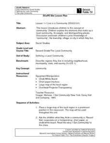
Lesson 1-I Live in a Community
Second graders brainstorm the concept of a community and all the elements involved in the make up of one. They pull from the resources on the community that they already live in or have lived in. In addition, they share their reflections...
Curated OER
What Are You Looking For?
Second graders research textbooks and weblinks for information related to objects in a time capsule. They use the information to construct a timeline of the events and people connected to the objects in the time capsule.
Curated OER
Feelings On Japanese Internment
Students listen to the story, "The Bracelet" and evaluate with other class members right and wrong actions. They create a watercolor painting that describes how the book made them feel and discuss their feelings with the rest of the class.
Curated OER
Introduction to Junkanoo! A Bahamian Festival
Students examine a Bahamian festival called Junkanoo. They analyze how group cooperation is related to the festival. They finally identify how factions form and how they can help or hurt a community.
Curated OER
Local Customs of Southeast Asian Countries
Students examine the cultural nuances of insular countries in southeast Asia. They perform skits demonstrating local customs of the countries examined, including greetings, visiting, business, drinking, and gift giving.
Curated OER
Militia of the American Revolutionary War
Students explore the role of the colonial militia n the American Revolutionary War. Using traditional and internet resources, students, complete a research worksheet designed to provide information about the militia. Worksheet is...
University of Texas at Austin
Ut Library: Perry Castaneda Maps of New York
A collection of maps of the state of New York, including links to city maps, historical city maps, and maps of National Parks, Monuments, and historical places.
Other
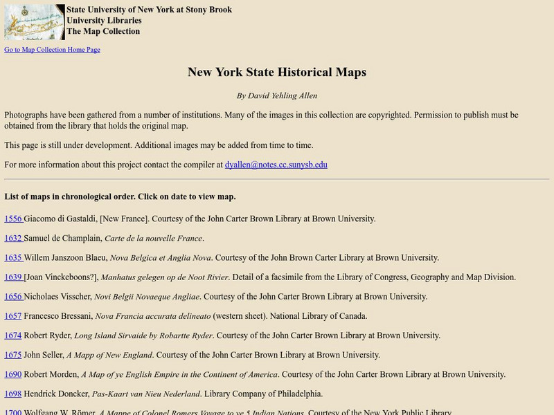
State University of New York at Stony Brook: New York State Historical Maps
Historical maps of New York and descriptions of each map.
DLTK
New York State Map
Provides a blank map of New York. Teachers will find many uses for this in the classroom. Students will enjoy coloring it and locating different parts of the state.
Johns Hopkins University
The Johns Hopkins University: New York State Maps
This site on maps is provided for by The Johns Hopkins University Applied Physics Laboratory. Have you ever wondered what New York state looks like from a satellite image? Find out by using this website. There are several other maps to...
Enchanted Learning
Enchanted Learning: New York
This site has a colorful display of information about New York. It contains a map, pictures, a list of state symbols, and links to related information.
Other
New York State Education Department: Eighth Grade Math, Book One (2006) [Pdf]
Part one of three; The March 2006 8th grade Math test from the State of New York. The test is 27 multiple choice questions dealing with topics such as algebra (translating into algebraic terms, simplifying expressions, evaluating...
Other
New York State Education Department: Eighth Grade Math, Book Two (2010) [Pdf]
Part two of three; The March 2010 8th grade Math test from the State of New York. The test is six open-response questions covering topics such as geometry (intersecting / parallel lines, Pythagorean Theorem), measurement (maps), and...
Maps of Mexico
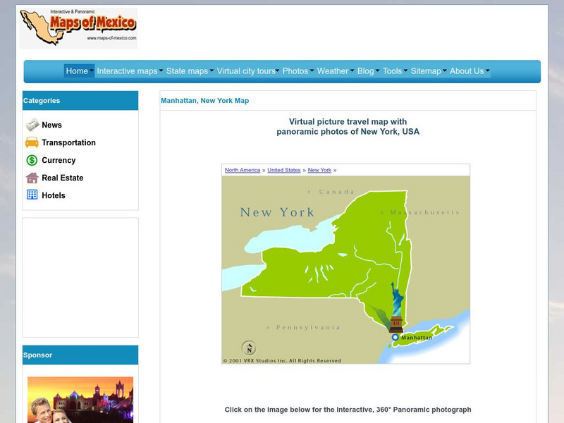
Virtual Picture Travel Map of New York
Click on New York and take a virtual tour of Manhattan. Visit places of interest such as Ellis Island, the Brooklyn Bridge, the Empire State Building, Times Square, Rockefeller Center and the Central Park Zoo. Uses popups.
Cayuse Canyon
The Us50: New York
Features excellent information regarding New York history, famous people, cities, geography, state parks, tourism, and historic sites. A fact sheet of information and a quiz are also available.
New York Times
New York Times: International
[Free Registration/Login Required] The New York Times is an internationally recognized daily newspaper published in New York City, New York. Content of the international section includes top news and issues from around the world, special...
A&E Television
History.com: The States
Learn unique facts about each American state. You can also read a more in-depth history of each state, watch videos and play a game about all the states.
CRW Flags
Flags of the World: Clickable Map of the United States
Includes both printable images and fascinating trivia behind the flag of each state. It includes alternate flags used in the past.
Other
Albany State University: Visions of New York State: Fort Orange, 1635
This site is a map/drawing of Fort Orange in 1635, the Dutch settlement which is now New Jersey.
Other
New York State Canals: Erie Canal Map
This site has a map of the Erie Canal and lets you zoom in on different parts of the Canal to view where the locks are.
Curated OER
Etc: Maps Etc: Glacial Lake Succession in New York State, 1911
A map from 1911 showing the glacial lake succession of the Ontarian Ice Lobe in New York state, Lake Hall.
Curated OER
Etc: Maps Etc: Glacial Lake Succession in New York State, Ice Age
A map from 1911 showing the glacial lake succession of the Ontarian Ice Lobe in New York state, Lake Iroquois.
Curated OER
Etc: Maps Etc: Glacial Lake Succession in New York State, 1911
A map from 1911 showing the glacial lake succession of the Ontarian Ice Lobe in New York state, Lake Newberry. Note overflow southward into the Susquehanna.
Other
State of New Jersey: New Jersey Regions
Site provides information about different regions within the state of New Jersey, such as Atlantic City, Delaware, Gateway, Shore, and Skylands. Specific details and attractions are described for each region.


![New York State Education Department: Eighth Grade Math, Book One (2006) [Pdf] Study Guide New York State Education Department: Eighth Grade Math, Book One (2006) [Pdf] Study Guide](https://d15y2dacu3jp90.cloudfront.net/images/attachment_defaults/resource/large/FPO-knovation.png)


