Curated OER
Etc: Maps Etc: Population Distribution of North America, 1916
A map from 1916 of North America, Central America, Greenland, and the Caribbean to Puerto Rico showing the population distribution at the time. The map is color-coded to show areas where the population density ranges from under 1...
Curated OER
Educational Technology Clearinghouse: Maps Etc: Relief of North America, 1890
A relief map from 1890 of North America, Central America, Greenland, and the Caribbean to Puerto Rico showing the general mountain systems, highlands, and plains of the region. Major river systems are shown. "North America is the third...
Curated OER
Etc: Maps Etc: The Surface of North America, 1912
A base relief map from 1912 of North America, Central America, Greenland, and the Caribbean to Puerto Rico showing the general surface terrain, including mountain systems, highlands, plains, and major river systems of the region....
Curated OER
Etc: Maps Etc: Territories of the United States, 1900
A map from 1909 showing territories added to the United States: Alaska (1867), Hawaii by annexation (1898), and Puerto Rico and the Philippines after the Spanish-American War (1898).
Curated OER
Educational Technology Clearinghouse: Maps Etc: North America, 1919
A map from 1919 of North America, Central America, Greenland, and the Caribbean to Puerto Rico showing the political borders at the time, capitals and major cities, rivers, and coastal features.
Curated OER
Educational Technology Clearinghouse: Maps Etc: North America, 1922
A map from 1922 of North America, Central America, Greenland, and the Caribbean to Puerto Rico showing the political borders at the time, capitals and major cities, rivers, and coastal features.
Curated OER
Educational Technology Clearinghouse: Maps Etc: North America, 1916
A map from 1916 of North America, Central America, Greenland, and the Caribbean to Puerto Rico showing the political borders at the time, capitals and major cities, existing and proposed railroads, rivers, and coastal features.
Curated OER
Educational Technology Clearinghouse: Maps Etc: Vegetation Regions, 1898
A base map from 1898 of North America, Central America, Greenland, and the Caribbean to Puerto Rico showing the general distribution of vegetation types in the region, including areas of deserts, tundras, and ice fields, areas of grassy...
Curated OER
Educational Technology Clearinghouse: Maps Etc: Relief of North America, 1872
A base relief map from 1872 of North America, Central America, Greenland, and the Caribbean to Puerto Rico showing the general mountain systems, highlands, and plains of the region. Major river systems are shown.
Curated OER
Educational Technology Clearinghouse: Maps Etc: Relief of North America, 1909
A base relief map from 1909 of North America, Central America, Greenland, and the Caribbean to Puerto Rico showing the general mountain systems, highlands, and plains of the region. Major river systems are shown.
Curated OER
Science Kids: Science Images: Bermuda Triangle Map
This image is a Bermuda Triangle map, locating the area where many mysterious incidents have reportedly occurred. It is found between Bermuda, Florida and Puerto Rico. For more information, check out our Bermuda Triangle mysteries,...
US Environmental Protection Agency
Epa: Air Data
The AirData website gives you access to air quality data collected at outdoor monitors across the United States, Puerto Rico, and the U. S. Virgin Islands. The data comes primarily from the AQS (Air Quality System) database. You can...
Mariners' Museum and Park
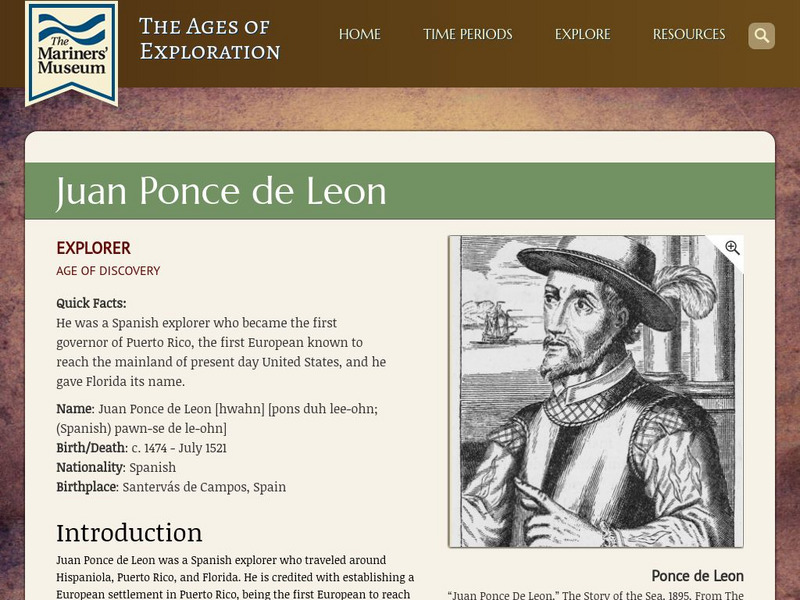
Mariners' Museum: Juan Ponce De Leon
Discover details of Ponce de Leon's expeditions in search of land for Spain in the new world. Follow the Spanish explorer's trips to present day Puerto Rico, St. Augustine, and Dry Tortugas, see a map of his journey, images featuring...
Other
Serdp: Managing Contaminated Sediments
This resource is from the Strategic Environmental Research and Development Program (SERDP), an environmental research arm of the Department of Defense. It explains how sediment contamination has affected DoD facilities and what is being...
Curated OER
Image of San Juan
Check out this page from the Library of Congress for resources about Puerto Rico during the war, including an essay, chronology, maps, literature, & photos.
Curated OER
Etc: The West Indies and Mexico, 1898 1906
A map from 1907 of Mexico, Central America, and the West Indies (Greater Antilles to Puerto Rico) between the Spanish-American War in 1898 and the Third Pan-American Conference in 1906. The map shows the political boundaries in 1906,...
Curated OER
Etc: Acquisition of Territory by the United States, 1783 1917
A map from 1922 of the United States showing the acquisition of territory from 1783 to the purchase of the Dutch West Indies (Virgin Islands) in 1917. This map is color-coded to show each of the acquisitions with map notations giving...
Curated OER
Etc: Development of Amer Interests in the Pacific, 1791 1903
A map of the United States and Pacific Ocean showing the development of American interests in the Pacific from the early exploration of Oregon Country in 1791 to the formal annexation of the Midway Islands and the Panama Strip in 1903....
Curated OER
Etc: Territorial Growth of the United States, 1783 1900
A map from 1911 of the United States showing the territorial acquisitions from the original states and territory established in 1783 to the Tripartite Convention of 1899 in which Germany and the United States divided the Samoan...
Science Struck
Science Struck: List of Latin American Countries With Their Capitals
Presents a map and list of all the Latin American countries, along with their capitals, population, land area, and names of the largest cities. (Note: Puerto Rico is a territory of the United States, not a country on its own.)
Other popular searches
- Puerto Rico Map
- Puerto Rico Outline Map
- Puerto Rico Elevation Map
- Puerto Rico City Map
- Physical Map of Puerto Rico


